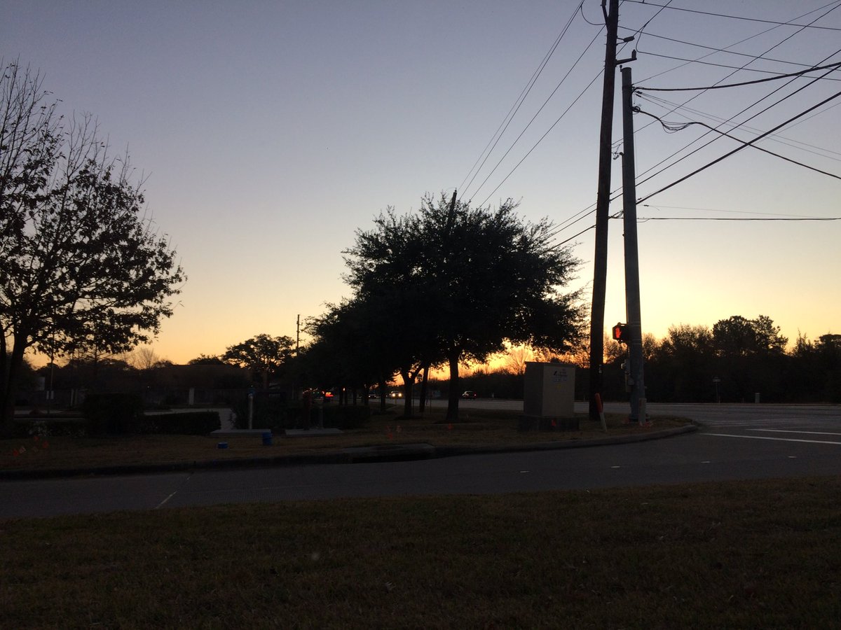
Northwest Houston, TX, during the early morning.
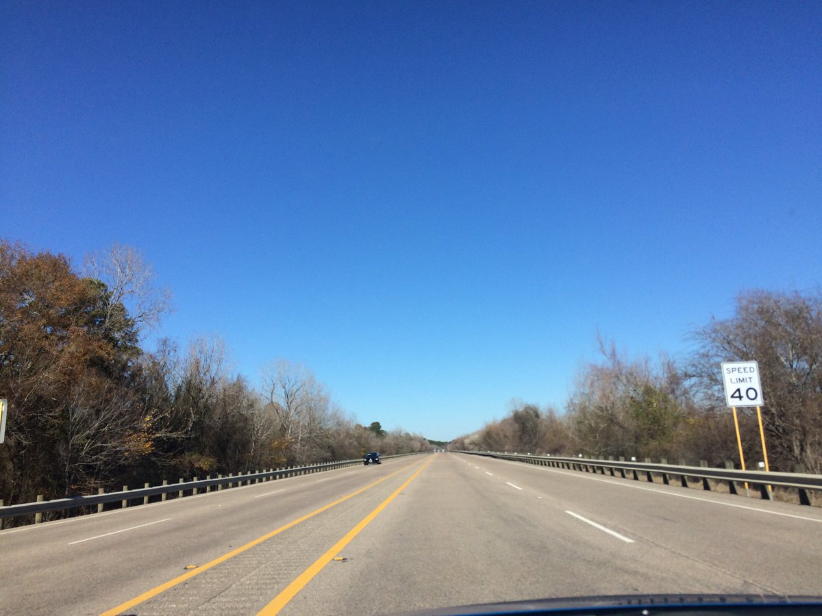
West Houston, TX, during the early afternoon.
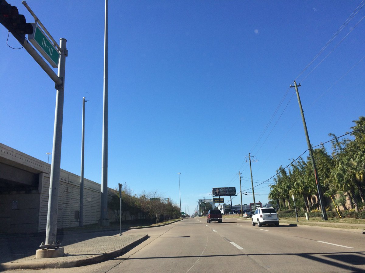
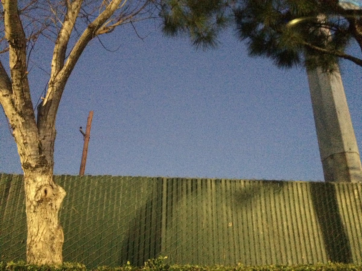
Northwest Houston, TX, during the early afternoon.
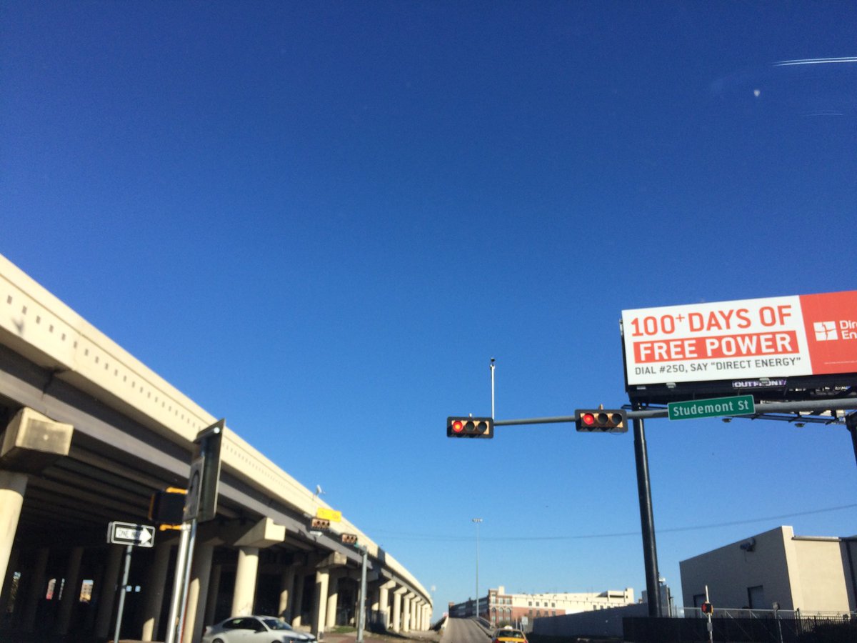
Near the heights in Houston, TX, during the mid-afternoon.
West Houston, TX, at the Edwards Theater, during the late evening.
Summary: The day was cool, sunny, and dry. I didn't see any precip on the radar, over the Houston, TX area, during anytime of the day. I didn't see, feel, or hear any drops of precip, where I was, during anytime of the day. The ground felt crunchy from possible ice formed from the dew on the grass, as I got out of my car, during the early morning. The sky looked to have stayed clear, during the morning, afternoon, evening, and night. The wind speeds looked to be calm with some possible gentle to moderate gusts and moderately strong gusts. It felt very cold, during the early and mid-morning. It felt very cool, during the late morning and early night. It felt cool, during the afternoon and evening. It started to feel very cold, during the late night. There was a Hazardous Weather Outlook issued for the Houston, TX area, by NOAA. The low temps looked to be in the low 30's with maybe some high 20's, I think, and the high temps looked to be in the low 50's, I think, for the Houston, TX area.
Houston, TX Storm Summary: I didn't see any precip on the radar, over the Houston, TX area, during anytime of the day. I didn't see, or hear about any flooding, or damage caused by the weather, to any of the locations in the Houston, TX area, during anytime of the day. I did see and feel some ice on the grass, when I was getting out of my car, during the early morning. I also think I saw some trucks prepping the road for possible ice accumulations.
My Storm Summary: I didn't see, feel, or hear any drops of precip, where I was, during anytime of the day. The ground felt crunchy from possible ice formed from the dew on the grass, as I got out of my car, during the early morning. The road and ground stayed dry through the rest of the day. There might have been some puddles left over from previous days rain. I didn't see any flooding, or damage caused by the weather, where I was, during the day. I didn't hear any rumbles of thunder, or see any lightning strikes. I didn't see any rain producing, or thunderstorm type clouds, where I was, during anytime of the day.
Locations: Northwest, west, and the heights Houston, TX.
Thoughts: Just another cool and sunny January day for the Houston, TX area.
Area Forecast Discussion
Issued by NWS Houston/Galveston, TX
Issued by NWS Houston/Galveston, TX
Versions: 1 2 3 4 5 6 7 8 9 10 11 12 13 14 15 16 17 18 19 20 21 22 23 24 25 26 27 28 29 30 31 32 33 34 35 36 37 38 3940 41 42 43 44 45 46 47 48 49 50
000
FXUS64 KHGX 132329
AFDHGX

Area Forecast Discussion
National Weather Service Houston/Galveston TX
529 PM CST Sat Jan 13 2018

.DISCUSSION...
High pressure over NW Texas will bring generally clear skies to
the region tonight. Could get a brief window of cirrus between
09-15z but VFR conditions will prevail. Winds remain light tonight
and will veer to the E and eventually SE by late Sunday afternoon
but wind speeds generally expected to remain at or below 6 knots.
43

&&

.PREV DISCUSSION... /ISSUED 338 PM CST Sat Jan 13 2018/

DISCUSSION...

..Today through Tuesday Night...
Quiet and cool weather this weekend will gradually warm to the
upper 50s to mid 60s by Monday as high pressure slides east and
onshore flow returns. Low temperatures tonight are forecast to dip
below freezing across most of the inland areas, but a hard freeze
is not anticipated.

Rain chances increase Monday evening through Tuesday as a cold
front pushes through the area. The predominant precipitation type
is expected to be rain, however there is still a slight chance of
some wintry precipitation mixing in across the northern parts of
the area early Tuesday morning. At this point it`s still a little
to early to nail down precipitation type, and for now all types
of frozen precipitation (snow, sleet, and freezing rain) are on
the table. It really comes down to how fast the cold air sweeps in
behind the front vs how quickly the post-frontal precip ends. The
ECMWF is faster with the front bringing it through more overnight
Monday night, vs the GFS/NAM solutions of a Tuesday morning
frontal passage. Previous ECMWF run showed faster drying behind
the front in addition to being quicker than the others, however,
the latest run is showing some lingering precipitation well after
the freezing line passes. Although confidence is slowly increasing
that frozen precipitation is possible, overall chances are still
fairly low. Right now, the best chance for frozen precipitation is
along and north of a Columbus-Conroe-Livingston line. If frozen
precip falls, light accumulations (<0.1 inch) will be possible.
With temperatures falling throughout the day Tuesday and into
Tuesday night, any wet surfaces remaining will likely freeze with
low temperatures in the low 20s to low 30s Tuesday night. A Hard
Freeze Warning may be required for portions of the area. 11

..Wednesday through Saturday...
High pressure builds in Wednesday behind the cold front and will
quickly progress eastward across the Central Plains. Onshore flow
and moisture will return Thursday as the surface high moves over
the Tennessee Valley. An upper-level shortwave trough moves
through the area Thursday night with strong warm air advection and
lift, so precipitation is expected Thursday night through Friday.
The biggest issue is if the precipitation begins early enough on
Thursday to catch the below freezing temperatures, freezing rain
is possible along the northernmost counties. Confidence is
currently low enough that no fzra was included in the grids, but
it is something we will watch out for moving forward. Behind the
shortwave, a gradual warming trend will continue through the
weekend before the next cold front passes on Sunday. 22

MARINE...
Will be keeping the Low Water Advisory up through the evening
hours given the combination of moderate NE flow and low
astronomical tide times helping to keep MLLW levels at or around
-1.00 feet. Elevated winds and seas have also persisted over the
offshore waters and will also maintain the SCEC for these
locations into this evening.

As high pressure continues to move off to the east...we will be
seeing a slow veering of winds to the east overnight through
tomorrow. Generally light SE winds are expected across the coastal
waters Sun night and should persist through Mon. Models remain on
track with a strong cold front moving into the Gulf Tues
afternoon. Gusty north/ northeasterly winds in the wake of the
boundary will likely require Small Craft Advisories Tues night
into Weds morning. The associated arctic high building down from
the Plains is forecast to linger in/ around the Middle MS Valley
region through the rest of the week and its proximity should keep
moderate/strong east winds in place. 41

&&

.PRELIMINARY POINT TEMPS/POPS...
College Station (CLL)      30  53  35  61  33 /   0   0   0  10  50
Houston (IAH)              32  53  37  62  44 /   0   0   0  10  30
Galveston (GLS)            41  48  46  57  50 /   0   0   0  10  30

&&

.HGX WATCHES/WARNINGS/ADVISORIES...
TX...NONE.
GM...Low Water Advisory until 10 PM CST this evening for the
     following zones: Galveston Bay...Matagorda Bay.

     SMALL CRAFT SHOULD EXERCISE CAUTION until 10 PM CST this evening
     for the following zones: Waters from Freeport to the
     Matagorda Ship Channel from 20 to 60 NM...Waters from High
     Island to Freeport from 20 to 60 NM.

&&

$$
Hazardous Weather Outlook
Hazardous Weather Outlook
National Weather Service Houston/Galveston TX
432 AM CST Sat Jan 13 2018

GMZ330-335-350-355-370-375-TXZ163-164-176>179-195>200-210>214-226-
227-235>238-141300-
Austin-Brazoria-Brazos-Burleson-Chambers-
Coastal waters from Freeport to the Matagorda Ship Channel out
20 NM-Coastal waters from High Island to Freeport out 20 NM-
Colorado-Fort Bend-Galveston-Galveston Bay-Grimes-Harris-Houston-
Jackson-Liberty-Madison-Matagorda-Matagorda Bay-Montgomery-Polk-
San Jacinto-Trinity-Walker-Waller-Washington-
Waters from Freeport to the Matagorda Ship Channel from 20 to
60 NM-Waters from High Island to Freeport from 20 to 60 NM-
Wharton-
432 AM CST Sat Jan 13 2018

This hazardous weather outlook is for portions of Southeast Texas.

.DAY ONE...Today and Tonight

Several hours of below freezing temperatures are possible early this
morning and again tonight through early Sunday morning.

.DAYS TWO THROUGH SEVEN...Sunday through Friday

Several hours of freezing temperatures can be expected early Sunday
morning. The next cold front is anticipated to move through the area
Monday night through Tuesday morning. There is a chance that some
wintry precipitation could occur as temperatures fall behind the front.
Several hours of freezing temperatures will be possible Tuesday night
and again on Wednesday night.

.SPOTTER INFORMATION STATEMENT...

Spotter activation might be needed late Monday night through Tuesday.

$$
No comments:
Post a Comment