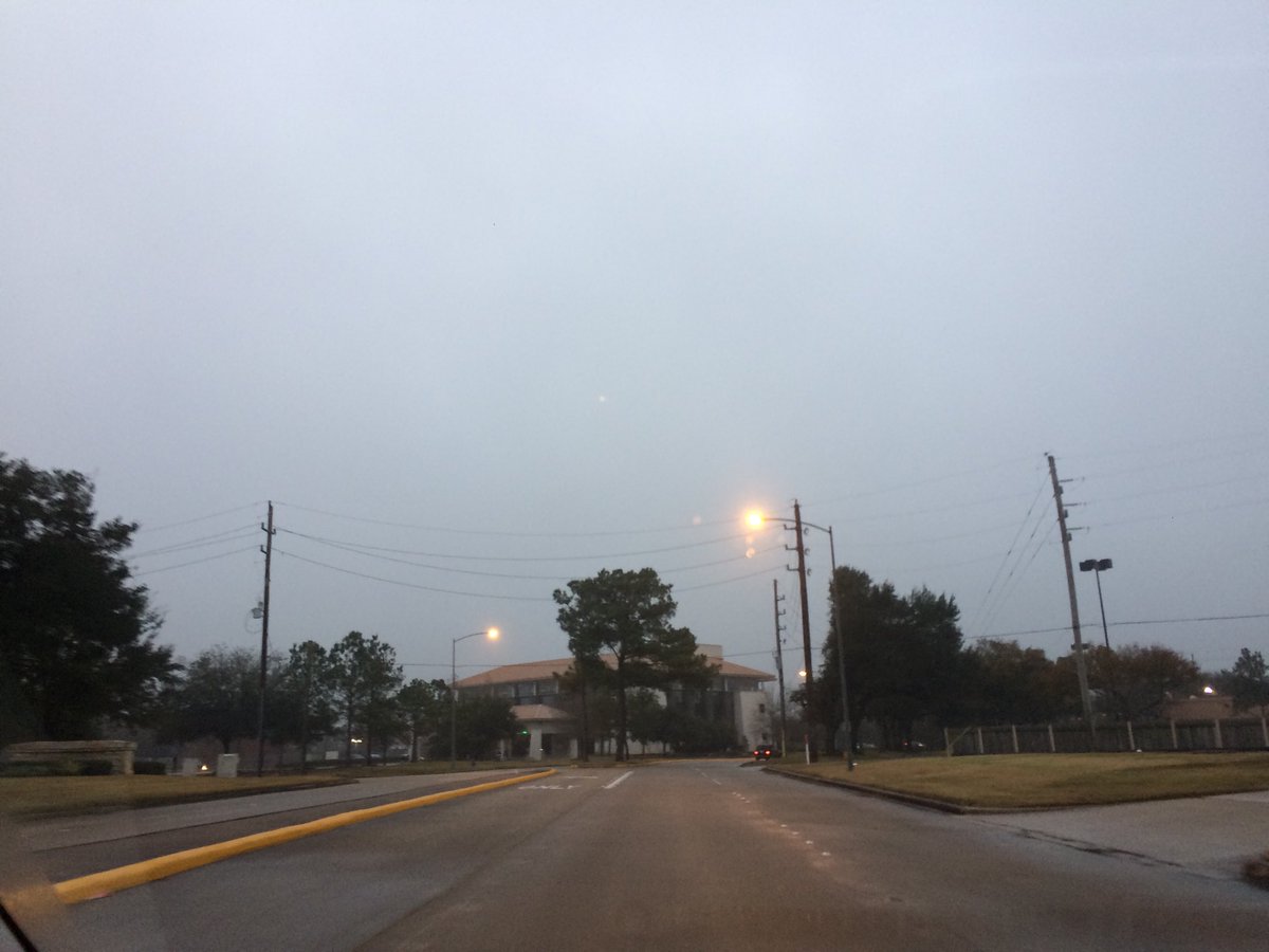
Northwest Houston, TX, during the early morning.
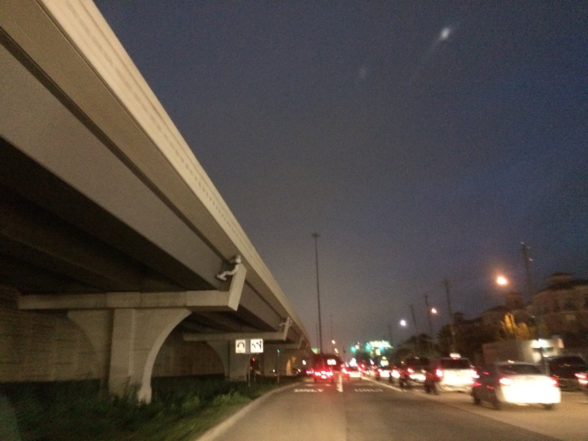
West Houston, TX, during the early night.
Locations: Northwest and west Houston, TX, and the Heights and Kirby area of Houston, TX.
Thoughts: The day was a little warmer than the day before. I didn't get time to write this day's weather summary.
Area Forecast Discussion
Issued by NWS Houston/Galveston, TX
Issued by NWS Houston/Galveston, TX
Versions: 1 2 3 4 5 6 7 8 9 10 11 12 13 14 15 16 17 18 19 20 21 22 23 24 25 26 27 28 29 30 31 32 33 34 35 36 37 38 3940 41 42 43 44 45 46 47 48 49 50
000
FXUS64 KHGX 110409
AFDHGX

Area Forecast Discussion
National Weather Service Houston/Galveston TX
1009 PM CST Wed Jan 10 2018

.UPDATE...
Warm front stalled near the coast just south of GLS. Some light
fog north of the warm front around the GLS bay area but winds
appear to be helping to maintain the stratus deck. Guidance split
on where the warm front waffles to overnight. Higher res models
leave it in place along the coast and possibly even sagging
southward where as GFS is more aggressive moving it inland. For
now have favored the slower movement but this could make for a
bust at GLS with temperatures potentially rising the remainder of
the night.

On a further note cold front racing south through KS with
dryline/prefrontal trough in West TX slowly moving eastward. The
prefrontal trough should swing eastward through the area Thursday
afternoon with the cold front a 1-3 hours behind it. Very strong
winds are expected behind the front and will persist well into
Friday. Northerly winds of 20-30 mph with gusts 35 to 40 look
within reach and could even be stronger. Wind advisory a given and
combined with the winds the temperatures should make the wind
chill readings plummet into the 20-30 degree range 7 PM Thursday
through 8 AM.

00Z runs also continue to support the threat of thunderstorms
Thursday afternoon (CAPE 500-1100j/kg with LI of -2 to -5)
especially for the northeast and central areas with the erosion of
any lingering capping. Hodographs by that point though are
relatively linear so other than perhaps some small hail with the
stronger storms am not expecting any severe weather.

45

45


&&

.PREV DISCUSSION... /ISSUED 603 PM CST Wed Jan 10 2018/

AVIATION...
Afternoon surface analysis shows a surface low over southeastern
Colorado with an attendant cold front and prefrontal trough
extending south into southwest Texas. VFR ceilings outside of the
IFR/MVFR ceilings impacting the Houston terminals are expected to
lower to MVFR overnight as east to southeast winds around 5 to 10
knots advect additional moisture over the northern Gulf inland.
This will result not only in periods of sea fog near GLS this
evening as a warm front lifts inland but patchy drizzle near the
Houston terminals and points south after 09Z. Webcams around
Galveston Bay are already showing patchy sea fog development and
expect visibilities at GLS to fluctuate between IFR and MVFR this
evening before winds veer to the south overnight as the Colorado
low ejects eastward.

The departure of the Colorado low will drag the cold front and
associated prefrontal trough across the region during the day
Thursday, with winds veering to the southwest after 15Z. These
veering winds will help raise ceilings to MVFR ahead of the front.
Isolated to scattered SHRA will be possible along this prefrontal
trough, with winds increasing 15-20 knots with stronger gusts
25-30 knots behind the cold front Thursday afternoon and evening.
MVFR ceilings may linger behind the front as moisture remains
trapped beneath a post frontal inversion.

Huffman

PREV DISCUSSION... /ISSUED 353 PM CST Wed Jan 10 2018/

DISCUSSION...
Starting to see some sea fog develop near/off the coast. Look for
some of this to start expanding inland overnight along with some
late night isolated warm air advection shra under a potent cap.
Not looking much of a temp change is expected overnight. Those at
the coast may even see a degree or two rise.

Upper trof to our west should make its way across the state
Thursday and Thursday night. Look for its associated prefrontal
trof to push thru southeast Texas during the day tomorrow. PW`s
should pool to around 1.2" along and ahead this feature and
anticipate some sct shra to develop before it pushes eastward and
out of the CWA by 3pm or so. There may be a limited window of
opportunity for the cap to erode enough for a few tstms generally
east of I-45 during the late morning/early afternoon hours. The
cold front itself will trail a few hours and will push thru
during the late afternoon and evening. The primary issue with this
system will be breezy winds in its wake. Most guidance is
indicating some 40-55kt 925mb wind speeds over the region, so
with some mixing surface wind gusts 30-40+mph gusts aren`t out of
the question Thursday night. Wind advisories will be likely. Wind
chills might dip to near 20 well inland.

After some wrap around cloudiness Friday morning, look for skies
to clear. The remainder of the forecast into early next week will
be dry and cool with upper ridging to the west providing a nw
flow aloft. A reinforcing front should push into the region Saturday.
Freezing overnight temps are a good possibility across several
inland locations Thurs/Fri/Sat/Sun nights.

Low rain chances re-enter the forecast early next week ahead of
the next front. 47

MARINE...
Moderate southeasterly winds can be expected Wednesday evening
through Thursday. Small crafts should exercise caution during this
time specifically in the offshore waters. Additionally, sea fog will
be possible within Galveston Bay and along the eastern nearshore
waters late this afternoon and through the overnight hours. Foggy
conditions are likely to continue until a strong cold front pushes
through the northern Gulf waters, Thursday afternoon into Thursday
evening.

This cold front will leave behind strong northwesterly winds in its
wake, with wind speeds between 30 to 40 knots gusting to around 45
knots at times. Rough seas are expected to increase from 5-7 feet to
8-11 feet with the occasional seas up to 15 feet in the offshore
waters, early Friday morning. A Gale Watch has been issued for the
near and offshore waters for Thursday evening into Friday morning.
Small Craft Advisories and a Gale Warning will likely be needed.

Additionally, a Low Level Water Advisory looks likely behind the
cold front for Galveston Bay as guidance continues to show water
levels falling to 1.5-2.5 feet below normal. Gradually decreasing
offshore winds and lowering seas are expected over the weekend, but
caution flags and advisories may still be needed for portions of the
marine zones through Saturday night. Moderate onshore winds should
prevail by Monday morning.

Hathaway

FIRE WEATHER...
Elevated fire weather conditions are possible Friday with gusty
north northwest winds and 25-30% humidities.  47

&&

.PRELIMINARY POINT TEMPS/POPS...
College Station (CLL)      57  68  30  51  29 /  20  30  10   0   0
Houston (IAH)              59  73  35  51  31 /  20  50  10   0   0
Galveston (GLS)            61  71  38  50  38 /  10  50  10   0   0

&&

.HGX WATCHES/WARNINGS/ADVISORIES...
TX...NONE.
GM...Gale Watch from Thursday evening through Friday morning for the
     following zones: Coastal waters from Freeport to the
     Matagorda Ship Channel out 20 NM...Coastal waters from High
     Island to Freeport out 20 NM...Waters from Freeport to the
     Matagorda Ship Channel from 20 to 60 NM...Waters from High
     Island to Freeport from 20 to 60 NM.

     SMALL CRAFT SHOULD EXERCISE CAUTION until 6 AM CST Thursday for
     the following zones: Waters from Freeport to the Matagorda
     Ship Channel from 20 to 60 NM...Waters from High Island to
     Freeport from 20 to 60 NM.

&&

$$

Discussion...45
Hazardous Weather Outlook
Hazardous Weather Outlook
National Weather Service Houston/Galveston TX
342 PM CST Wed Jan 10 2018

GMZ330-335-350-355-370-375-TXZ213-214-235>238-112145-
Brazoria-Chambers-
Coastal waters from Freeport to the Matagorda Ship Channel out
20 NM-Coastal waters from High Island to Freeport out 20 NM-
Galveston-Galveston Bay-Harris-Jackson-Matagorda-Matagorda Bay-
Waters from Freeport to the Matagorda Ship Channel from 20 to
60 NM-Waters from High Island to Freeport from 20 to 60 NM-
342 PM CST Wed Jan 10 2018

This hazardous weather outlook is for portions of Southeast Texas..

.DAY ONE...Tonight

Areas of fog may reduce visibility below 1 mile at times.

.DAYS TWO THROUGH SEVEN...Thursday through Tuesday

Areas of sea fog will persist into the early afternoon Thursday. Expect
strong winds in the wake of a passing cold front Thursday evening.
Wind gusts 30 to 45 mph will be possible into Friday morning. Gale
warnings and wind advisories may be required. Seas will build
offshore as this occurs. We will be keeping an eye for low water
conditions in the bays as well.

.SPOTTER INFORMATION STATEMENT...

Spotter activation will not be needed.

$$
No comments:
Post a Comment