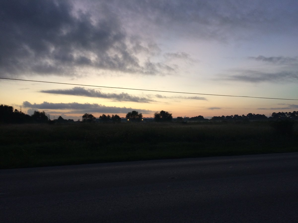
Northwest Houston, TX, during the early morning.
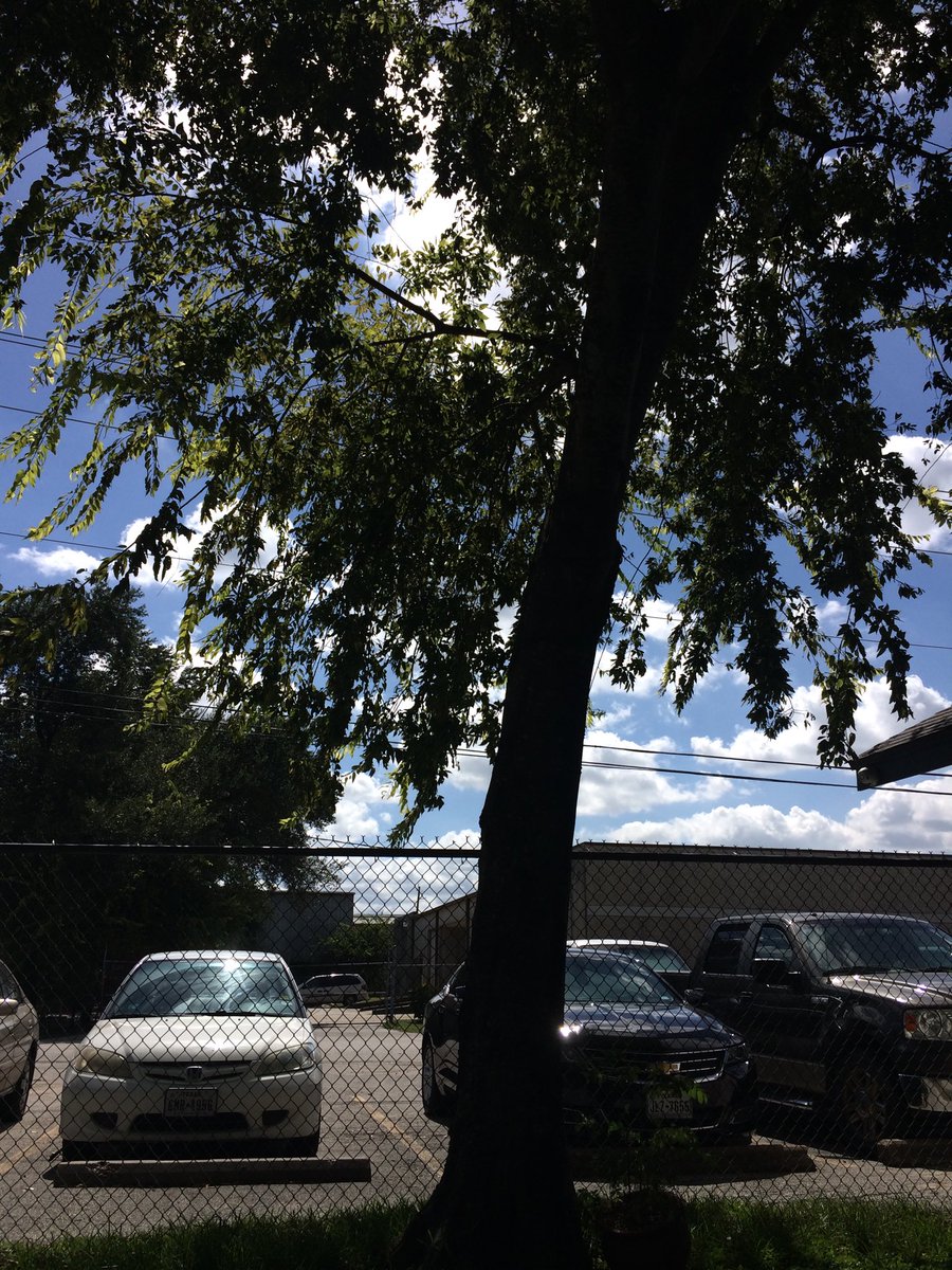
Northwest Houston, TX, during the early afternoon.
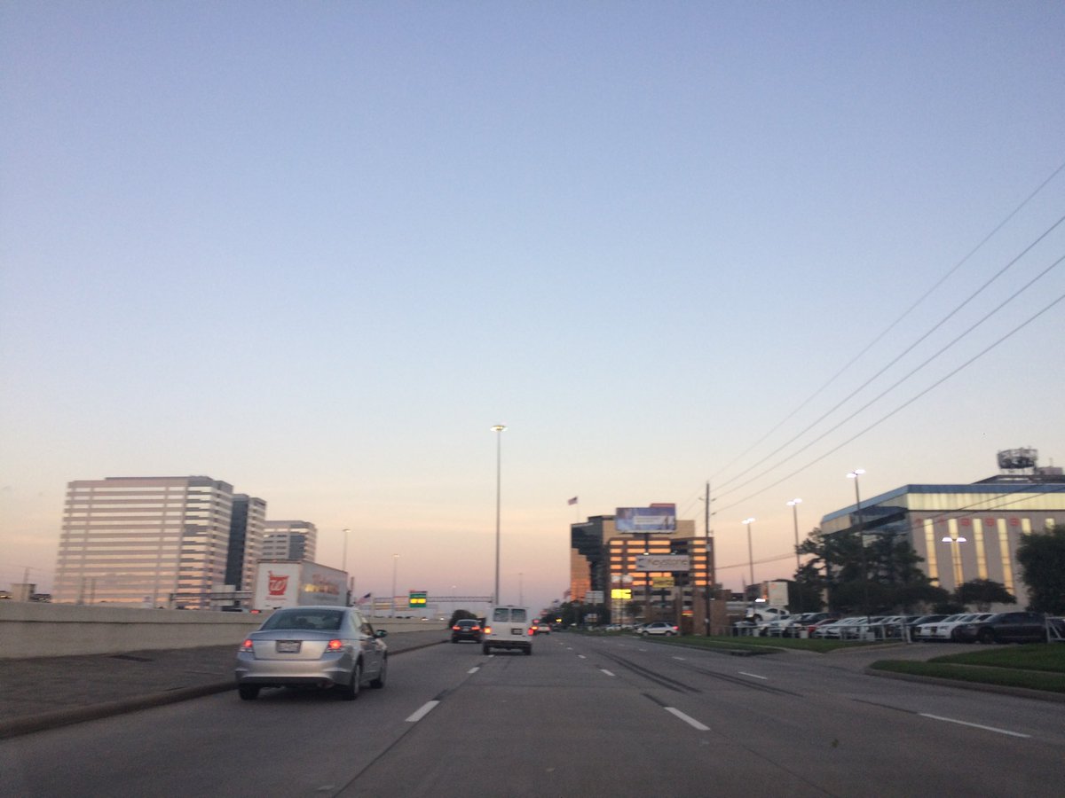
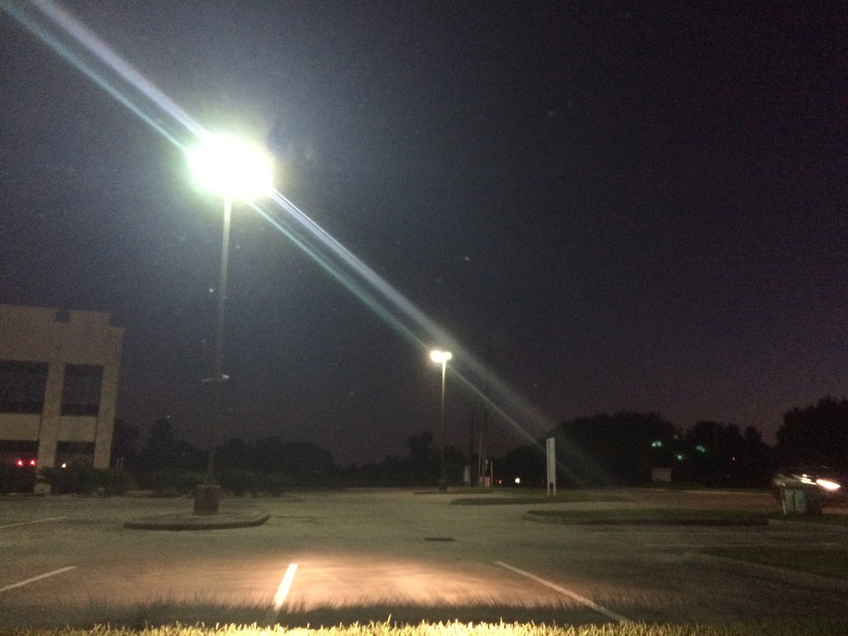
West Houston, TX, during the early evening.
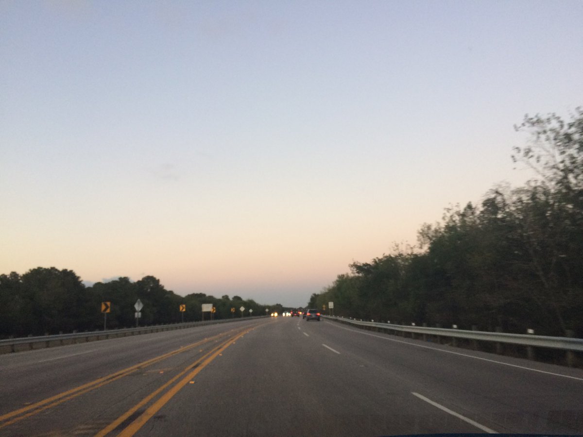
Northwest Houston, TX, during the late evening.
Northwest Houston, TX, during the early night.
Summary: The day was very warm, sunny, and dry. I didn't see any rain over the Houston, TX area, on the radar, during anytime of the day. I didn't see, feel, or hear any rain drops. I did see some ground, or maybe rolling fog, during the early morning, on my way to work, in northwest Houston, TX. Alto Stratus and stratus clouds looked to be widely scattered across the sky, during the early morning. Stratus and stratocumulus clouds with maybe alto stratus clouds, looked to have started to become widely scattered across the sky, sometime during the mid, or maybe late morning. Stratus and stratocumulus clouds with maybe some alto stratus clouds looked to be widely scattered across the sky, during the afternoon. The sky looked to be mostly clear with some alto status clouds, during the evening and night. The wind speeds looked to be calm with gentle to moderate gusts, and maybe some moderately strong gusts It felt warm, during the early morning, late evening, and night. It felt very warm, during the mid-morning and early evening. It felt very warm, almost hot, during the late morning and afternoon. There was a Hazardous Weather Outlook issued for the Houston, TX area, by NOAA. There were no other watches, warnings, alerts, advisories, or weather statements/outlooks issued for the Houston, TX area, that I know of.
Houston, TX Storm Summary: I didn't see any rain over the Houston, TX area, on the radar, during anytime of the day. I didn't hear about, or see any reports of flooding, or damage, for the Houston, TX area.
My Storm Summary: I didn't see, feel, or hear any rain drops. I did see some ground, or maybe rolling fog, during the early morning, on my way to work, in northwest Houston, TX.
Locations: Northwest and west Houston, TX.
Thoughts: I really enjoy seeing the fog over the grass early in the morning.
Area Forecast Discussion
Issued by NWS Houston/Galveston, TX
Issued by NWS Houston/Galveston, TX
Versions: 1 2 3 4 5 6 7 8 9 10 11 12 13 14 15 16 17 18 19 20 21 22 23 24 25 26 27 28 29 30 31 32 33 34 35 36 37 38 3940 41 42 43 44 45 46 47
000
FXUS64 KHGX 100253
AFDHGX

Area Forecast Discussion
National Weather Service Houston/Galveston TX
953 PM CDT Mon Oct 9 2017

.DISCUSSION...
A line of showers and isolated thunderstorms were well to the
northwest of Burleson, Brazos, Madison, and Houston counties at
9:45 PM. Expect these will continue to slowly move toward the
forecast area. The 01Z HRRR and the 18Z Texas Tech WRF keep the
forecast area free of precipitation until after 4:00 AM. Could
see isolated showers moving onshore into the coastal counties
before anything arrives from the west and northwest. Tweaked the
rain chances for the rest of the evening.

40

&&

.PREV DISCUSSION... /ISSUED 653 PM CDT Mon Oct 9 2017/

AVIATION.../00Z TAF/
Surface analysis and GOES 16 imagery show pre-frontal trough
located through north Texas/DFW down towards the NW Hill Country
with a line of convection. The actual cold front was located back
from western Oklahoma into west Texas near Lubbock. Ahead of the
front expect area terminals to expect a mix of MVFR/IFR conditions
with low clouds and fog forming. Cold front will catch the pre-
frontal trough tonight and push into the area during the morning
hours. Front should reach KCLL/KUTS around 09-10Z, KIAH/KHOU/KSGR
13-15Z and then along the coast 16-17Z. Hi-res models show
convection developing along the front as it approaches the coast
so will keep VCTS for KLBX and KGLS. MVFR ceilings will be likely
post frontal and could hold on through the late morning to
afternoon hours. Ceilings will improve through the afternoon with
gusty northerly winds.

Overpeck

PREV DISCUSSION... /ISSUED 350 PM CDT Mon Oct 9 2017/

DISCUSSION...
Another very warm afternoon where Bush-Intercontinental Airport`s
maximum temperature record of 94 F was achieved by 3 PM with
Galveston not being far off...a degree from tying 2007`s Tmax
record of 90 F. An approaching cold front will be making its way
through the northwestern CWA shortly after midnight tomorrow...moving
across metro shortly after sunrise and then be off the coast by
10 or 11 AM. Early morning (pre-dawn) patchy fog may develop just
downstream of the approaching surface front. Not an overly-impressive
cold nor dry backing air mass but...in relative terms...cool and
dry enough to take us from summer heat to comfortably autumn warm
in less than a day. A mostly overcast morning with scattered
showers and thunderstorms in the vicinity of the lower level front
as it encounters the higher pooling of downstream moisture over
the southern half of the forecast area. Partially clearing through
the day with afternoon ambient temperatures slowly warming into
the middle 70s up north to lower 80s further south. Drier air to
slide in on weakening northerlies early Wednesday with the mid-week
(afternoon) mid-level dry air mix down equating to interior 50 F
dew points/upper 30 to mid 40 min %RHs. Winds veer around the dial
through Thursday and be back onshore by Friday midnight. Nothing
extreme in the post-frontal T/Td field as mid-level temperatures
remain in the upper teens. This will equate to subsequent day
warming from the coolest days of Tuesday-Wednesday back into the
late week average upper 80s.

Slight maritime rain chances this weekend as weak central Gulf
disturbances rotate in from the east under a westward expanding
southeastern U.S. upper ridge. This 5H ridge is forecast to be
unseasonably strong as mid-590dam heights clamp themselves down
on the northern Gulf coast. There should be enough suppression to
counter increasing lower level moisture. Very low weekend rain
chances focused across the coastal counties to account for breeze
activity as the upper 80s are met. The next cold front is slated
for late Sunday or early Monday. 31

MARINE...
The main marine hazard through tonight will remain elevated tides
along the Upper Texas coast before a cold front sweeps off the upper
Texas coast Tuesday. Tide levels are currently running about 1-1.5
feet above normal and this may result in levels peaking at or just
above 3 feet at times of high tide tonight. Have held off on a
coastal flood advisory as overall levels continue to decrease with
time and wave periods are 8 seconds or less at both buoys, but minor
wave run-up may result in isolated issues on Bolivar Peninsula. Tide
issues will come to an end behind a cold front moving off the coast
tomorrow morning as moderate offshore winds become established
behind the front. A Small Craft Should Exercise Caution statement
will likely be needed behind the front Tuesday afternoon through
Wednesday morning. Winds are expected to decrease mid-week and
gradually shift from the northeast/east to onshore by this
weekend.

Huffman

&&

.PRELIMINARY POINT TEMPS/POPS...
College Station (CLL)      64  76  58  80  61 /  30  10   0  10  10
Houston (IAH)              72  83  63  80  65 /  20  40  10  10  10
Galveston (GLS)            78  84  70  80  74 /  20  60  10  10  10

&&

.HGX WATCHES/WARNINGS/ADVISORIES...
TX...NONE.
GM...NONE.
&&

$$

Discussion...40
Aviation/Marine...39
Hazardous Weather Outlook
Hazardous Weather Outlook
National Weather Service Houston/Galveston TX
355 PM CDT Mon Oct 9 2017

GMZ330-335-350-355-370-375-TXZ200-213-214-226-227-235>238-102100-
Brazoria-Chambers-
Coastal waters from Freeport to the Matagorda Ship Channel out
20 NM-Coastal waters from High Island to Freeport out 20 NM-
Fort Bend-Galveston-Galveston Bay-Harris-Jackson-Liberty-
Matagorda-Matagorda Bay-
Waters from Freeport to the Matagorda Ship Channel from 20 to
60 NM-Waters from High Island to Freeport from 20 to 60 NM-
Wharton-
355 PM CDT Mon Oct 9 2017

This hazardous weather outlook is for portions of Southeast Texas..

.DAY ONE...This Afternoon and Tonight

Coastal water levels will peak between 3 and 3.5 feet through the
night. During times of high tide...minor tidal overwash will be
possible at the lowest and most susceptible areas such as Highway
87 at Highway 124 along the Bolivar Peninsula.

.DAYS TWO THROUGH SEVEN...Tuesday through Sunday

The highest probability will be of banding showers and isolated
thunderstorms developing along and ahead of a passing early morning
cold front. Frontal timing has it off the coast by mid to late
Tuesday morning. Winds and seas will be higher in and near the
strongest storms. Moderate offshore winds are expected in the wake
of the front Tuesday into Wednesday.

.SPOTTER INFORMATION STATEMENT...

Spotter activation is not anticipated.

$$
No comments:
Post a Comment