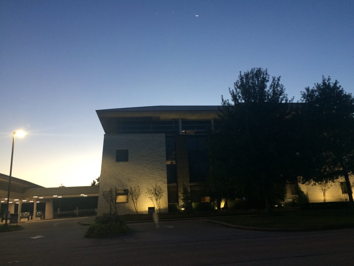
Northwest Houston, TX, during the early morning.
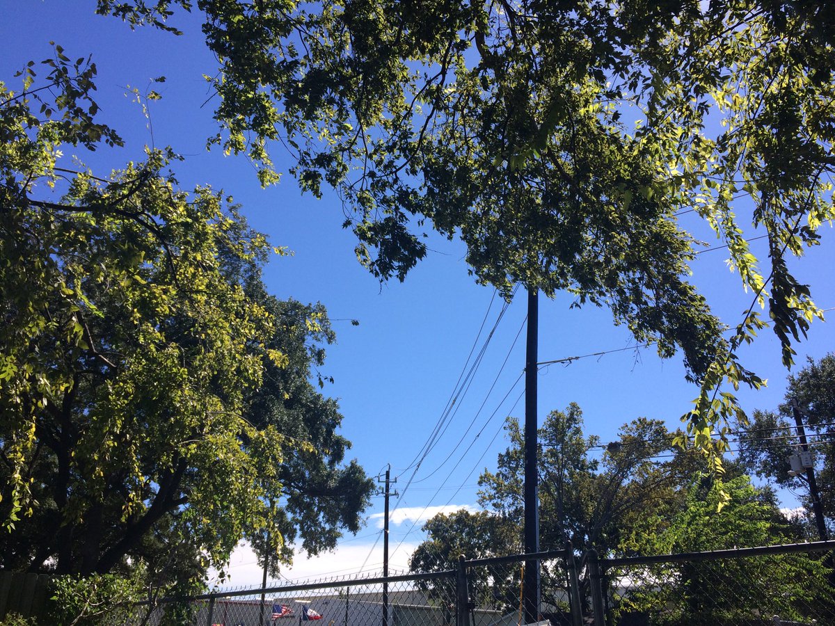
Northwest Houston, TX, during the early afternoon.
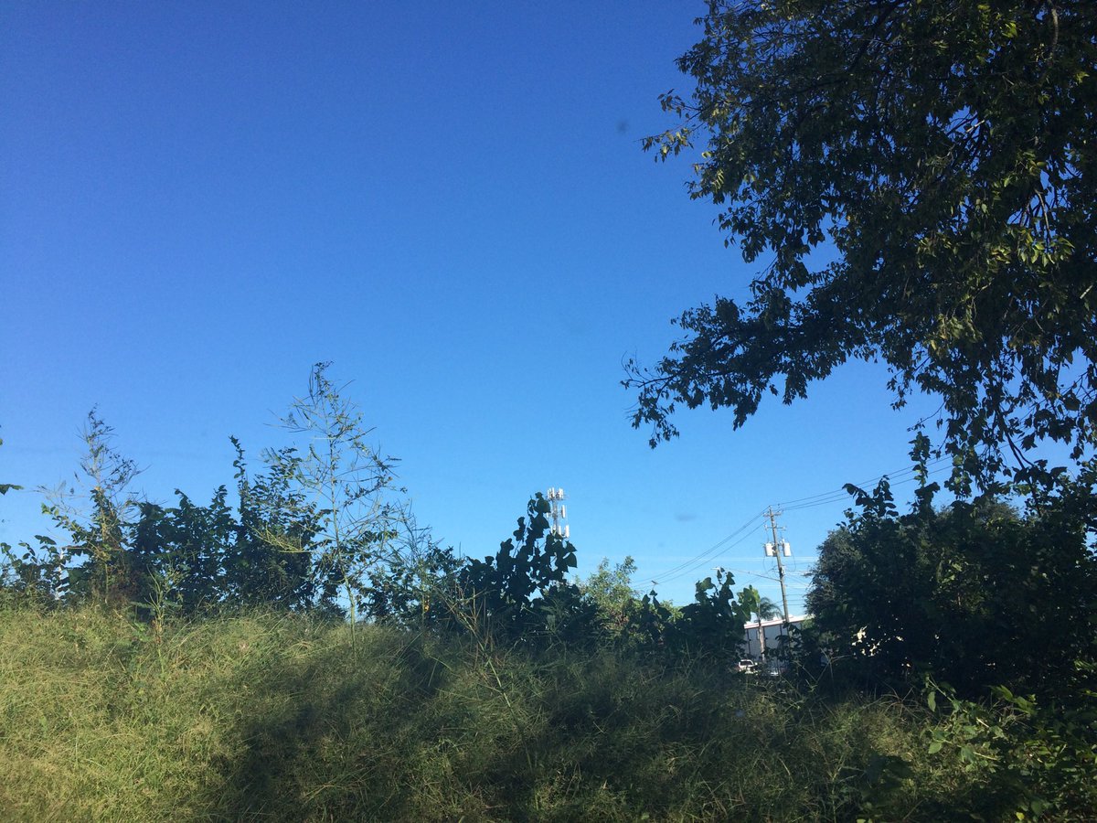
Northwest Houston, TX, during the late afternoon.
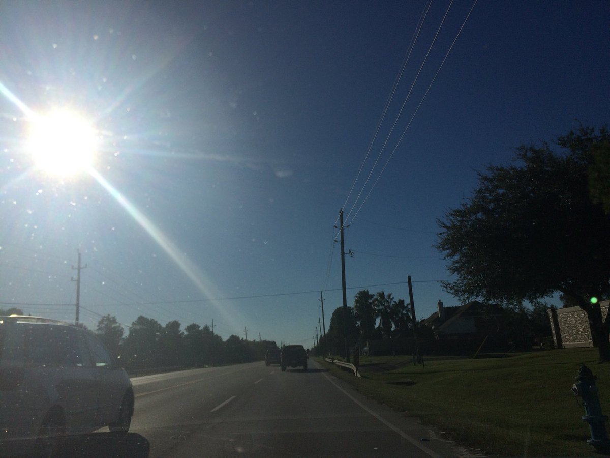
Northwest Houston, TX, during the early evening.
Summary: The day was cool, sunny, and dry. I didn't see any rain on the radar, over the Houston, TX area, during anytime of the day. I didn't see, feel, or hear any rain drops. The sky looked to be clear with maybe some alto and cirro stratus clouds, during the morning. There looked to be a group of alto stratus clouds in the sky, during the early and maybe mid-afternoon. The sky looked to be clear with maybe some cirro stratus and some possible alto stratus clouds, during the late afternoon, evening, and night. The wind speeds looked to be calm with moderate to moderately strong gusts and some occasional really strong 20 mph gusts. It felt cool, almost cold, during the early morning. It felt cool, during the mid-morning, late evening, and night. It felt a little cool, during the late morning and early evening. It felt a little cool, becoming warm, during the early afternoon. It felt warm, during the mid and late afternoon. There was a Hazardous Weather Outlook issued for the Houston, TX area, by NOAA. There were no other watches, warnings, alerts, advisories, or weather statements/outlooks issued for the Houston, TX area, that I know of. The low temperatures looked to be in the 60's with maybe some 50's and the high temperatures looked to be in the 70's, for the Houston, TX area.
Houston, TX Storm Summary: I didn't see any rain on the radar, over the Houston, TX area, during anytime of the day. I didn't see, or hear about any reports of any flooding, or damage.
My Storm Summary: I didn't see, feel, or hear any rain drops. I didn't see any storm, or rain producing like clouds, flooding, wet roads, puddles, wet ground, lightning, or damage. I just saw lots of leaves falling from trees, but nothing else, not even any sticks, or tree branches. I didn't hear any rumbles of thunder.
Locations: Northwest Houston, TX.
Thoughts: It was the first day of the fall season that I have experienced a pretty much cool day. Except for the mid and late afternoon hours.
Area Forecast Discussion
Issued by NWS Houston/Galveston, TX
Issued by NWS Houston/Galveston, TX
Versions: 1 2 3 4 5 6 7 8 9 10 11 12 13 14 15 16 17 18 19 20 21 22 23 24 25 26 27 28 29 30 31 32 33 34 35 36 37 38 3940 41 42 43 44 45 46 47 48 49 50
000
FXUS64 KHGX 170110
AFDHGX

Area Forecast Discussion
National Weather Service Houston/Galveston TX
810 PM CDT Mon Oct 16 2017

.UPDATE...
Temperatures away from the coast have fallen into the 60s, with a
few spots already in the 50s this evening. With dewpoints in the
40s to around 50 degrees and more established cool air beneath
high pressure, we`re on track to see cooler temperatures tonight
than last night. Points far inland should fall into the 40s for
lows, with only the immediate coastline looking to stay near or a
touch above 60 degrees. The forecast seems pretty well in line
with observations, needing only some cosmetic tweaks to best match
recent trends. Though some cities on the coast are still seeing
winds of 5-10 mph, lighter winds are established across the rest
of the area - we will not see a repeat of last night`s
breeziness.

Luchs

&&

.PREV DISCUSSION... /ISSUED 602 PM CDT Mon Oct 16 2017/

AVIATION...
VFR and SKC with weakening winds overnight. Lighter winds tomorrow.
42

PREV DISCUSSION... /ISSUED 356 PM CDT Mon Oct 16 2017/

DISCUSSION...
High pressure will bring an unseasonably cool airmass to Southeast
Texas over the next couple of days. Coolest temperatures are
expected later tonight and Tuesday morning with low temperatures
falling into the 40s and 50s. Slightly warmer conditions are
expected Tuesday night/Wednesday morning; although, will not be
surprised if some locations have temperatures to fall to tonight`s
levels.

An upper level shortwave ridge will move across the area on
Wednesday as the surface ridge pushes off to the northeast. This
will help easterly winds to begin returning Gulf moisture to the
area, slowly on Wednesday and then in earnest by Thursday.

The longer range global models have some differences for the
upcoming system over the upcoming weekend. A consensus has rain
chances returning Wednesday night and Thursday as the upper level
shortwave trough move into the state from the west. Both the ECWMF
and GFS are starting to come together for Saturday and Sunday but
am not confident enough to go higher than 30 to 40 percent POPS.
If confidence increases and model consensus comes together better
later tonight and tomorrow, will probably see rain chances
increase. Model blends show a decent likelihood for a frontal
boundary to end rain chances Sunday night and Monday.

40

MARINE...
Offshore winds over the bays have decreased this afternoon but are
still going strong across the Gulf waters. Have extended the Small
Craft Advisory for the the coastal waters through this evening. We
should be seeing a more light to moderate N/NE flow overnight/Tues
as high pressure builds in from the Plains. Winds will be shifting
to the east by Wed as the high moves off to the east. Onshore flow
is progged to be in place by Fri. 41

FIRE WEATHER...
A bit more drier air has managed to mix down this afternoon on the
heels of the strong/fairly deep northerly flow in the wake of last
nights front. Locations generally south of I-10/west if I-45 could
see a brief period of Elevated Fire Conditions the rest of this af-
ternoon. These lower RH values(25-30%) are possible again tomorrow
afternoon for the same areas, but winds should be lighter. 41

&&

.PRELIMINARY POINT TEMPS/POPS...
College Station (CLL)      48  81  50  85  58 /   0   0   0   0   0
Houston (IAH)              53  80  55  84  63 /   0   0   0   0  10
Galveston (GLS)            62  79  68  82  73 /   0   0   0   0  10

&&

.HGX WATCHES/WARNINGS/ADVISORIES...
TX...NONE.
GM...Small Craft Advisory until 10 PM CDT this evening for the
     following zones: Coastal waters from Freeport to the
     Matagorda Ship Channel out 20 NM...Coastal waters from High
     Island to Freeport out 20 NM...Waters from Freeport to the
     Matagorda Ship Channel from 20 to 60 NM...Waters from High
     Island to Freeport from 20 to 60 NM.

&&

$$

Discussion...25
Hazardous Weather Outlook
Hazardous Weather Outlook
National Weather Service Houston/Galveston TX
421 AM CDT Mon Oct 16 2017

TXZ163-164-176>179-195>200-210>214-226-227-235>238-170930-
Austin-Brazoria-Brazos-Burleson-Chambers-Colorado-Fort Bend-
Galveston-Grimes-Harris-Houston-Jackson-Liberty-Madison-Matagorda-
Montgomery-Polk-San Jacinto-Trinity-Walker-Waller-Washington-
Wharton-
421 AM CDT Mon Oct 16 2017

This hazardous weather outlook is for portions of Southeast Texas..

.DAY ONE...Today and Tonight

Breezy to windy conditions will persist near the Upper Texas
coast today, decreasing by this evening.

.DAYS TWO THROUGH SEVEN...Tuesday through Sunday

No hazardous weather is expected at this time.

.SPOTTER INFORMATION STATEMENT...

Spotter activation will not be needed.

$$
No comments:
Post a Comment