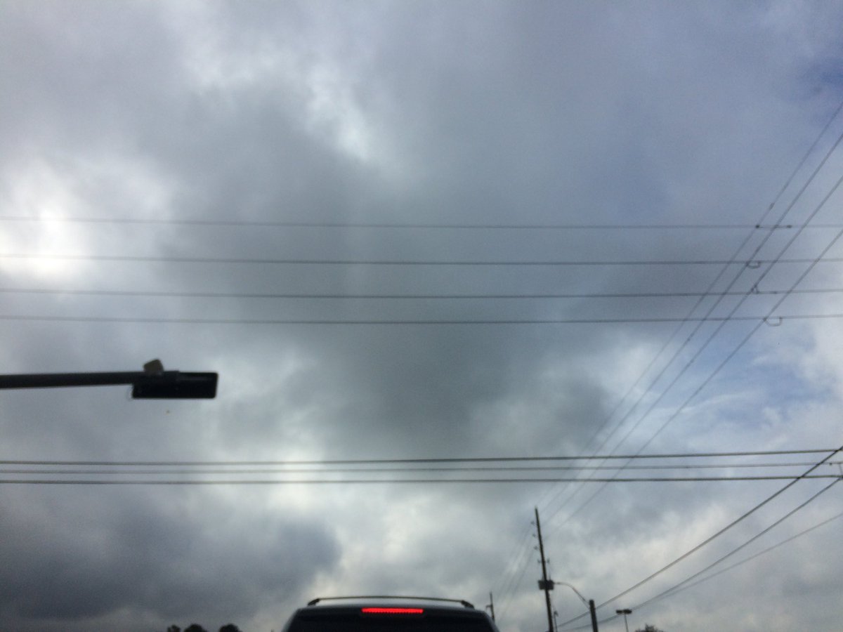
Northwest Houston, TX, during the late morning.
Summary: The day was warm, a little wet, and windy. A swirling mass of light to moderate with embedded moderately heavy to heavy showers and thunderstorms swirled around most of the Houston, TX area, during the early morning and then only certain areas of Houston, TX, during the mid and late morning, afternoon, evening, and maybe night. Light to moderate showers with moderately heavy to heavy thunderstorms passed over my house, during the early morning. The wind speeds looked to be calm with gentle to moderate gusts and some moderately strong to possibly strong 20 mph gusts. It felt a little cool, during the early morning. It felt warm, during the mid and late morning, afternoon, evening, and night. There were a number of flash flood watches, warnings, and advisories, as well as some special weather statements and advisories, during the early morning, for the Houston, TX area. A Hazardous Weather Outlook was issued for the Houston, TX area, by NOAA. The low temperatures looked to be in the 60's, or maybe 70's with some possible 60's and the high temperatures looked to be in the 80's with some possible 70's, for the Houston, TX area.
Houston, TX Storm Summary: A swirling mass of light to moderate with embedded moderately heavy to heavy showers and thunderstorms swirled around most of the Houston, TX area, during the early morning and then only certain areas of Houston, TX, during the mid and late morning, afternoon, evening, and maybe night. There were reports of flash flooding in the Houston, TX area. I didn't hear, or see any reports of any damage.
My Storm Summary: Light to moderate showers with moderately heavy to heavy thunderstorms passed over my house, during the early morning. I didn't see anymore rain after that. Just maybe some light to moderate rain, at my house, during the mid-morning. I saw only one lightning strike and heard only one possible rumble of thunder. I didn't see any flooding, just wet roads and ground, and some small puddles. I didn't see any damage.
Locations: Northwest Houston, TX.
Thoughts: I am not looking forward to the series of cold fronts next week. The low temperature for the Houston, TX area next Saturday is supposed to be in the low 40's. That is January weather.
Area Forecast Discussion
Issued by NWS Houston/Galveston, TX
Home | Current Version | Previous Version | Text Only | Print | Product List | Glossary Off
Versions: 1 2 3 4 5 6 7 8 9 10 11 12 13 14 15 16 17 18 19 20 21 22 23 24 25 26 27 28 29 30 31 32 33 34 35 36 37 38 39 40 41 42 43 44 45 46 47 48 49 50
855
FXUS64 KHGX 202101
AFDHGX
Area Forecast Discussion
National Weather Service Houston/Galveston TX
401 PM CDT Fri Oct 20 2017
.DISCUSSION...
Latest radar imagery shows widespread showers and thunderstorms in
the Gulf off the coast of High Island. Other scattered showers and
isolated thunderstorms stretched north of High Island towards
Cleveland and Crockett. None of this activity has been producing
heavy rainfall except for the activity in the Gulf where it does
not matter. A brief band of storms formed over SW Fort Bend County
and W Brazoria County where radar estimated 1 to 4 inches of
rainfall. With no rain gages in the band to get ground truth we
can only speculate that actual rainfall may have been higher since
the radar had been underestimating rainfall amounts.
Water vapor imagery shows the first short wave trough pushing out
of W Texas into W Oklahoma this afternoon. Trough axis is just
about to push into SE Texas so there may only be a few more hours
of potential shower and thunderstorm activity. Latest HRRR model
runs line up with this thinking with shower and thunderstorm
activity quickly dropping off between now and 8PM. Even the
activity embedded within the plume of higher precipitable water
should be decreasing over east Texas. There may be a few showers
overnight but otherwise expect quite conditions with low
temperatures in the 70s.
Saturday moisture may increase again with precipitable water
values back to around 1.7 to 1.9 inches. Water vapor imagery shows
a weak vorticity max approaching El Paso but the models seem to
lose this feature tonight into tomorrow. There is some weak signal
in the vorticity fields Saturday afternoon which results in a band
of showers and storms from Sugar Land to Huntsville. Still overall
activity looks isolated to widely scattered despite having CAPE
over 2000 J/kg. Lift from any kind of disturbance just does not
look strong enough to trigger widespread convection or support
severe weather. SPC does have a marginal risk for Saturday night
as a pre-frontal trough/cold front approach the area but expect
the line of storms to be weakening as it pushes south due to more
stable airmass overnight.
Sunday morning synoptic and mesoscale models are pretty good
agreement with the squall line of storms entering the forecast
area by 12Z Sunday. WRF-ARW/NMM 12z runs both show the squall line
reaching College Station to Crockett. The Texas Tech WRF shows a
similar timing but unlike the GFS/ECMWF/NAM, it basically has the
squall line decaying as it reaches the coast by 17-18Z Sunday.
There is high confidence that the area will see rain Sunday
morning with the line of storms, but rainfall amounts could be
less than forecast if trends with the mesoscale models continue.
As for severe weather, GFS/NAM/ECMWF support the possibility of it
but again the squall line could out run any of the stronger upper
level dynamics with large scale ascent occurring mainly over the
Arklatex into Arkansas. SPC has general thunderstorms for the day
3 outlook and see no reason to disagree with this assessment. The
Texas Tech WRF evolution of the line of storms certainly supports
this. We still do not want to let our guard down as for pattern
recognition supports the possibility. There will still be high
moisture over the area, strong large scale ascent although maybe
slightly north of the area, and favorable jet configuration with
the trough. The problems may come in the boundary layer as 850mb
winds become SW ahead of the line and could advect higher moisture
east faster than expected. This could be the reason why the Texas
Tech WRF shows a decaying system.
Cold front still pushes through all of the area by the end of the
day Sunday with northerly boundary layer flow continuing Monday
and Tuesday. By Tuesday the upper level pattern becomes quite
amplified which supports another frontal passage and re-enforcing
colder air. By the end of next week models suggest another deep
trough over the Rockies and Plains. This front looks much stronger
and both the GFS/ECMWF have the 850mb freezing line between
Palestine and Crockett by 12Z Saturday October 28. Again this is
the day 7-8 forecast but there is some decent model agreement with
the strength of the front.
Overpeck
&&
.MARINE...
Winds/seas are remaining elevated in/near the strong storms over the
coastal waters this afternoon. With the activity persisting into the
evening, will go ahead and keep the SCEC in place for both the near/
offshore waters through tonight. The onshore flow is expected to be-
come a bit more established overnite/early tomorrow with the surface
high scoots further E/NE. The increased long fetch and strengthening
SE flow could keep SCEC flags in place tomorrow. The next cold front
remain on track for passage into the Gulf waters Sun afternoon. SCEC
and SCA flags are likely in the wake of the front.
The persistent easterly wind component today has helped with the el-
evated tides this afternoon. So far...projections are on track as we
are currently nearing high tide. Minor coastal flooding is possible
along the Bolivar Peninsula and near Surfside through early this ev-
ening. 41
&&
.PRELIMINARY POINT TEMPS/POPS...
College Station (CLL) 70 87 67 77 51 / 20 40 60 60 10
Houston (IAH) 73 86 72 82 56 / 20 30 40 80 10
Galveston (GLS) 77 84 77 83 63 / 30 30 30 80 10
&&
.HGX WATCHES/WARNINGS/ADVISORIES...
TX...SMALL CRAFT SHOULD EXERCISE CAUTION until 7 PM CDT this evening
for the following zones: Galveston...Matagorda.
GM...SMALL CRAFT SHOULD EXERCISE CAUTION until 7 PM CDT this evening
for the following zones: Coastal waters from Freeport to
the Matagorda Ship Channel out 20 NM...Coastal waters from
High Island to Freeport out 20 NM...Waters from Freeport to
the Matagorda Ship Channel from 20 to 60 NM...Waters from
High Island to Freeport from 20 to 60 NM.
&&
$$
Discussion...39
Aviation/Marine...41
Hazardous Weather Outlook
Hazardous Weather Outlook
National Weather Service Houston/Galveston TX
501 AM CDT Fri Oct 20 2017

TXZ213-214-237-238-211015-
Brazoria-Chambers-Galveston-Harris-
501 AM CDT Fri Oct 20 2017

This hazardous weather outlook is for portions of Southeast Texas..

.DAY ONE...Today and Tonight

A cluster of strong thunderstorms will bring periods of heavy rain
to parts of the area this morning. Flooding of feeder roads and
other low areas will be possible this morning. The rain is
expected to diminish later today.

Strong east winds will become southeast later today but elevated
tides will produce some minor coastal flooding and water could
cover parts of Highway 87 and parts of the Blue Water Highway at
high tide later today.

.DAYS TWO THROUGH SEVEN...Saturday through Thursday

Scattered showers and thunderstorms are possible on Saturday but
widespread heavy rain is not expected. A cold front will cross the
area Sunday morning with another round of thunderstorms expected.
Some of the stronger storms could produce brief gusty winds and
locally heavy rain.

.SPOTTER INFORMATION STATEMENT...

Spotter activation will not be needed.

$$
No comments:
Post a Comment