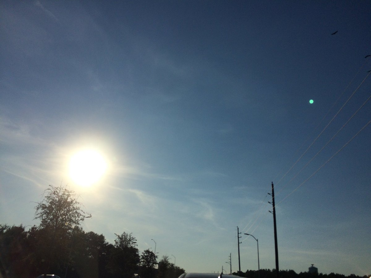
Northwest Houston, TX, during the early morning.
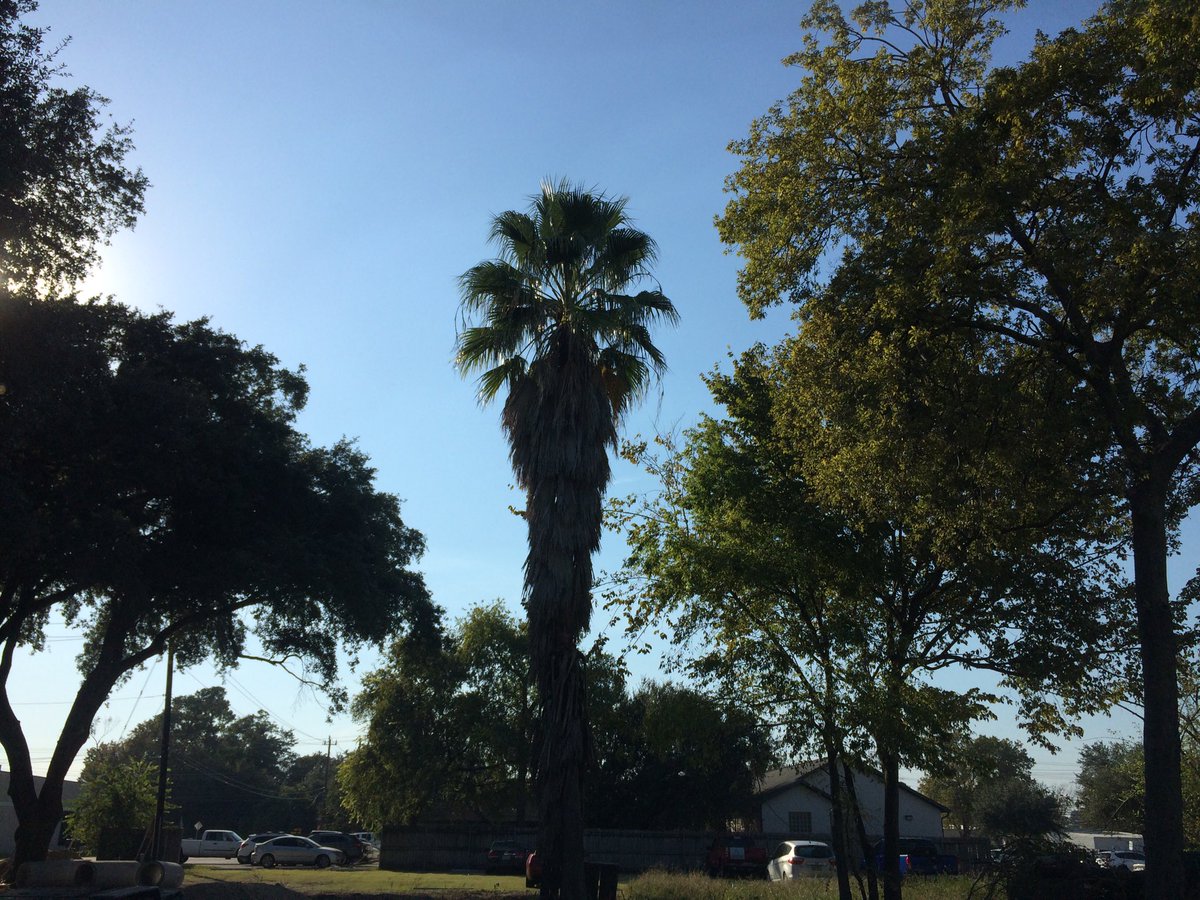
Northwest Houston, TX, during the early afternoon.
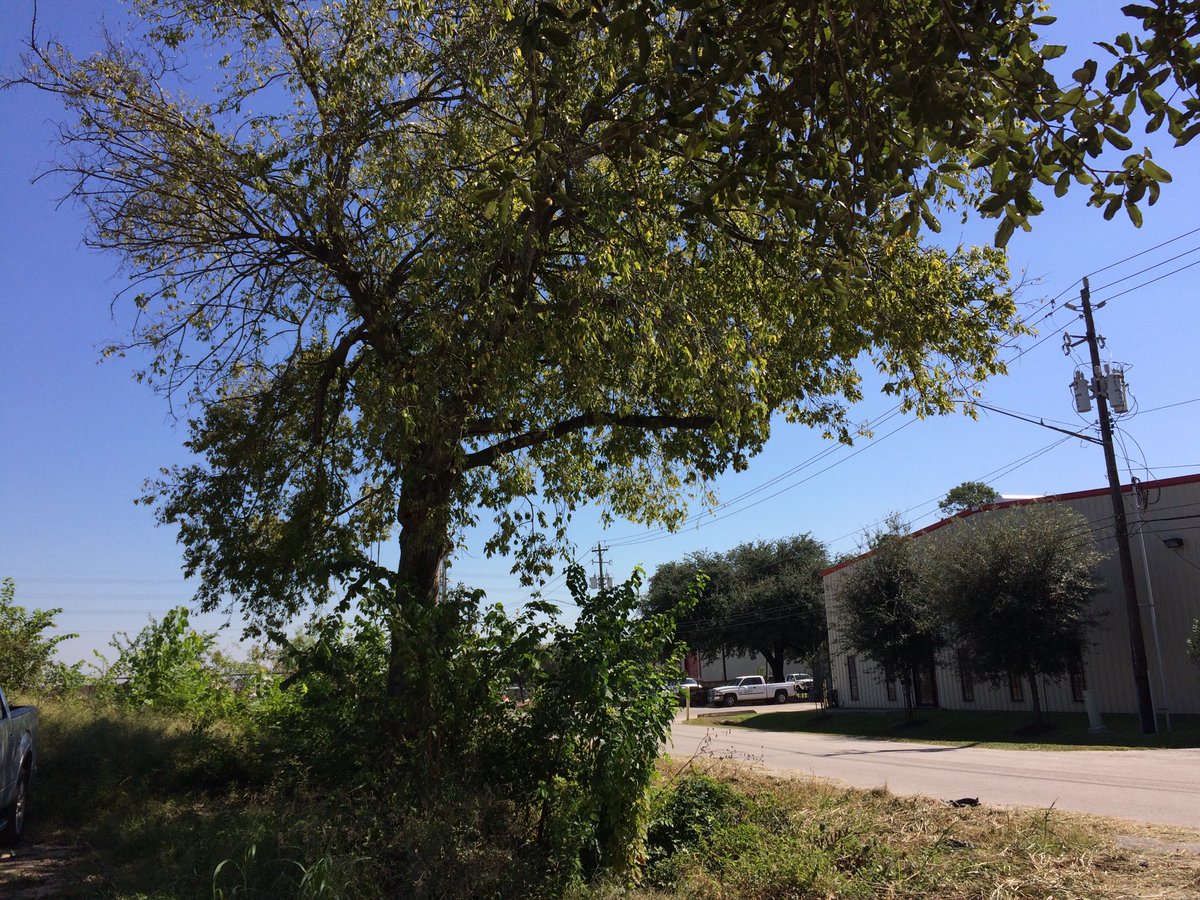
Northwest Houston, TX, during the late afternoon.
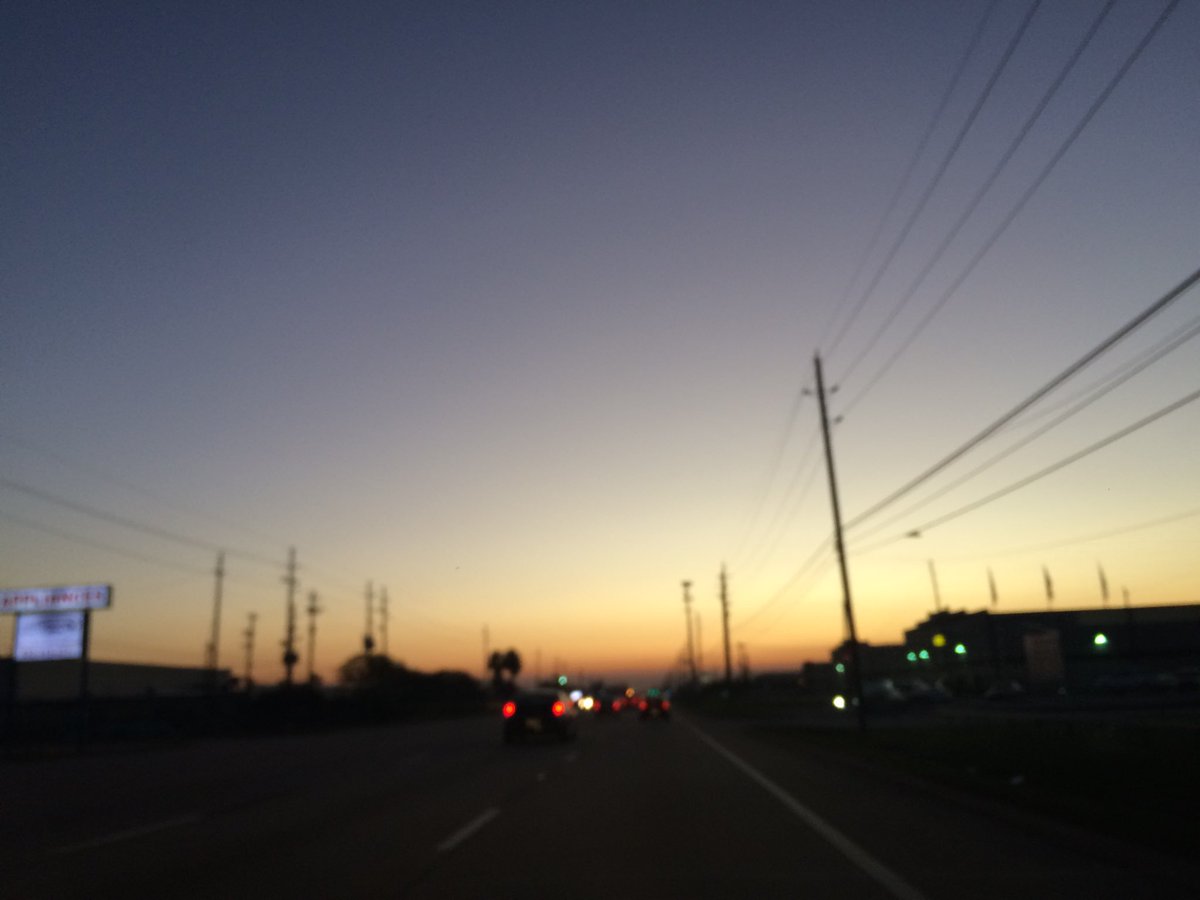
West Houston, TX, during the early evening.
Summary: The day was sunny, dry, and breezy. No rain. I didn't see any rain over the Houston, TX area, on the radar, during anytime of the day. I didn't see, feel, or hear any rain drops. The sky looked to be mostly clear with some cirro and alto stratus clouds in the sky, during the morning, afternoon, evening, and night. The wind speeds looked to be calm with gentle to moderate gusts and some moderately strong gusts. It felt very cool, during the early morning. It felt cool, during the mid-morning. It felt a little cool, during the late morning and night. It felt warm, during the afternoon and evening. There were no watches, warnings, alerts, advisories, or weather statements/outlooks issued for the Houston, TX, during anytime of the day. The low temperatures looked to be in the 50's with maybe some 40's and the high temps looked to be in the 70's with maybe some 80's, for the Houston, TX area.
Houston, TX Storm Summary: No rain. I didn't see any rain over the Houston, TX area, on the radar, during anytime of the day. I didn't hear about any reports of flooding. I did hear reports of wildfires in the south and maybe north counties of the Houston, TX area, according to NOAA.
My Storm Summary: I didn't see, feel, or hear any rain drops. I didn't see any storm, or rain producing like clouds, flooding, wet roads, puddles, wet ground, lightning, or storm damages. I didn't hear any rumbles of thunder.
Locations: Northwest and west Houston, TX, and maybe Katy, TX.
Thoughts: Wildfires in Houston, TX? I hope they don't become widespread and force people out of their homes like in California.
Area Forecast Discussion
Issued by NWS Houston/Galveston, TX
Issued by NWS Houston/Galveston, TX
Versions: 1 2 3 4 5 6 7 8 9 10 11 12 13 14 15 16 17 18 19 20 21 22 23 24 25 26 27 28 29 30 31 32 33 34 35 36 37 38 3940 41 42 43 44 45 46 47 48 49 50
000
FXUS64 KHGX 190248
AFDHGX

Area Forecast Discussion
National Weather Service Houston/Galveston TX
948 PM CDT Wed Oct 18 2017

.DISCUSSION...
Not a whole lot of changes made on the evening update. Expect increasing
high clouds overnight as a system approaches from the west, and also
an increasing risk of low clouds and/or fog under a light wind field.
Overnight low temperatures should range from the mid to upper 50s well
inland to the lower 70s at the coast, and readings this low will not
be seen again until Monday morning after the passage of the area`s
next cold front.  42
&&

.PREV DISCUSSION... /ISSUED 653 PM CDT Wed Oct 18 2017/

AVIATION...
VFR for the remainder of the evening. Hazy skies from smoke
moving in evening easterlies but it should be dispersed enough
from the fires over Chambers and Jefferson Counties to not be of
any significant impact to visibilities. Overnight calming of
winds under mainly clear skies to allow a low level temperature
inversion to form and create an environment conducive to interior
fog. Anticipating more patchy shallow fog under the stout inversion
with many (non-metro) hubs falling to around 4SM during the pre-dawn
hours. Breezes wake up from the east with a developing late morning
into afternoon few-sct cumulus field. 31

PREV DISCUSSION... /ISSUED 406 PM CDT Wed Oct 18 2017/

DISCUSSION...
The big concern today for weather has been the smoke generated
from grass fires in Jefferson county along the Gulf coast. GOES 16
and radar have shown smoke plumes from these grass fires with the
smoke reaching Galveston as well as parts of metro Houston. VAD
wind profile from KHGX radar shows SE to E winds through 8000ft
AGL which is helping transport the smoke towards the area. Winds
are still rather light so mixing has not been able to disperse the
smoke as much as with stronger winds. US Fish and Wildlife may
start a prescribed burn to cut off the grass fires since they are
unable to get fire crews out to extinguish the fires. Hopefully
these fires are put out before the night time inversion sets up
and traps smoke in the low levels. Patchy fog will be possible
tonight with weak moisture return along the coast and calm winds.
Hopefully the fog and smoke do not combine to create zero
visibility issues in the morning.

Going into the weekend, models have moisture return increasing
especially on Friday with precipitable water values getting up to
1.8 to 2.0 inches. Latest upper level analysis has a weak
shortwave ridge over the area which will be moving out tomorrow as
a wave moves across the southern Rockies tonight. By Friday a
stronger trough moves into the Pacific NW with ridging over the
eastern Gulf. Given SW flow aloft on Friday with the increased
moisture as warm front pushes north, forecast will go with 40-60
percent rain chances with scattered showers and thunderstorms
expected. A few storms Friday could be strong as CAPE pushes 1500
J/kg with 30-40 kts of deep layer shear.

Saturday SW flow aloft continues but no real vorticity max to
support thunderstorm activity. Moisture axis over the area also
shifts a bit to the east so looking at slightly lower rain chances
Saturday for scattered showers and storms. There is still the
possibility of a few strong/severe storms Saturday as CAPE may get
above 2000 J/kg with steeper lapse rates ahead of the approaching
upper level trough.

Models are more progressive with the developing upper level trough
Saturday night into Sunday. As a result GFS/ECMWF/Canadian are all
faster with pushing the system across the area than previous runs.
GFS ensemble runs at 12Z kept with a more progressive system with
trough not cutting off as previous runs had been doing. The 12Z
GFS/ECMWF are in better agreement so increased rain chances to
60-70 percent. Again there will be the threat for severe weather
as the trough moves across but the strong large scale ascent may
be slightly out of phase with the surface front. This may scale
back the threat some but still enough instability and shear to
support strong/severe storms. Moisture will be high enough to
support heavy rainfall but storm motions should be fast enough
that any flooding if at all will be localized and limited to the
normal street/urban flooding. Rainfall amounts of 1 to 2 inches
looks good for the weekend but wouldn`t rule out isolated spots of
3 inches.

Front moves through Sunday and clears out moisture for the start
of the week. A deep trough then develops over the Great Lakes that
sends a re-enforcing shot of cold air into the area Tuesday into
Wednesday. Temperatures Wednesday morning look to be in the 50s
but if these forecast trends continue, the airmass could be colder
and send temperatures into the 40s. Still plenty of time to wait
and see but it could be another week with temperatures more like
fall than summer.

Overpeck

MARINE...
High pressure over the eastern U.S. and lower pressures over the
southern Gulf of Mexico will produce an easterly flow across the
coastal waters today. The gradient begins to tighten tonight and
winds will increase. A moderate to occasionally strong onshore flow
will persist through Saturday and a SCEC will likely be required
over parts of the coastal waters. Water levels and tides are
currently progged to exceed 3.0 feet Thursday afternoon and could
exceed 3.5 feet on Friday near times of high tide. A cold front, and
associated showers and thunderstorms, will cross the coastal waters
on Sunday afternoon and a moderate to strong offshore flow will
develop Sunday night and persist into the first half of next week. A
reinforcing front is penciled in for Tuesday. Small craft
advisories are likely behind both fronts. 47

FIRE WEATHER...
Wildfires in Jefferson, Matagorda and Trinity Counties continue to
show up on satellite imagery. Transport winds have veered to the
southeast at 5-10kt and should continue that way until late evening.
But late tonight they`re forecast to weaken and back to the east
once again. Mixing heights will fall pretty quickly after sunset so
smoke closer to the fires should start becoming confined closer to
the ground. We should get pretty good mixing again by mid morning
and lift/disperse whatever smoke (if any) continues. Moisture levels
begin to increase tonight and increase significantly late Thursday
and Friday as onshore winds strengthen. Rain chances will increase
on Friday and should remain high through the weekend. 47

&&

.PRELIMINARY POINT TEMPS/POPS...
College Station (CLL)      59  85  65  83  69 /   0  10  10  50  30
Houston (IAH)              63  84  68  82  72 /   0   0  20  60  30
Galveston (GLS)            72  82  75  82  77 /  10  10  30  60  40

&&

.HGX WATCHES/WARNINGS/ADVISORIES...
TX...NONE.
GM...NONE.
&&

$$

31/42
No comments:
Post a Comment