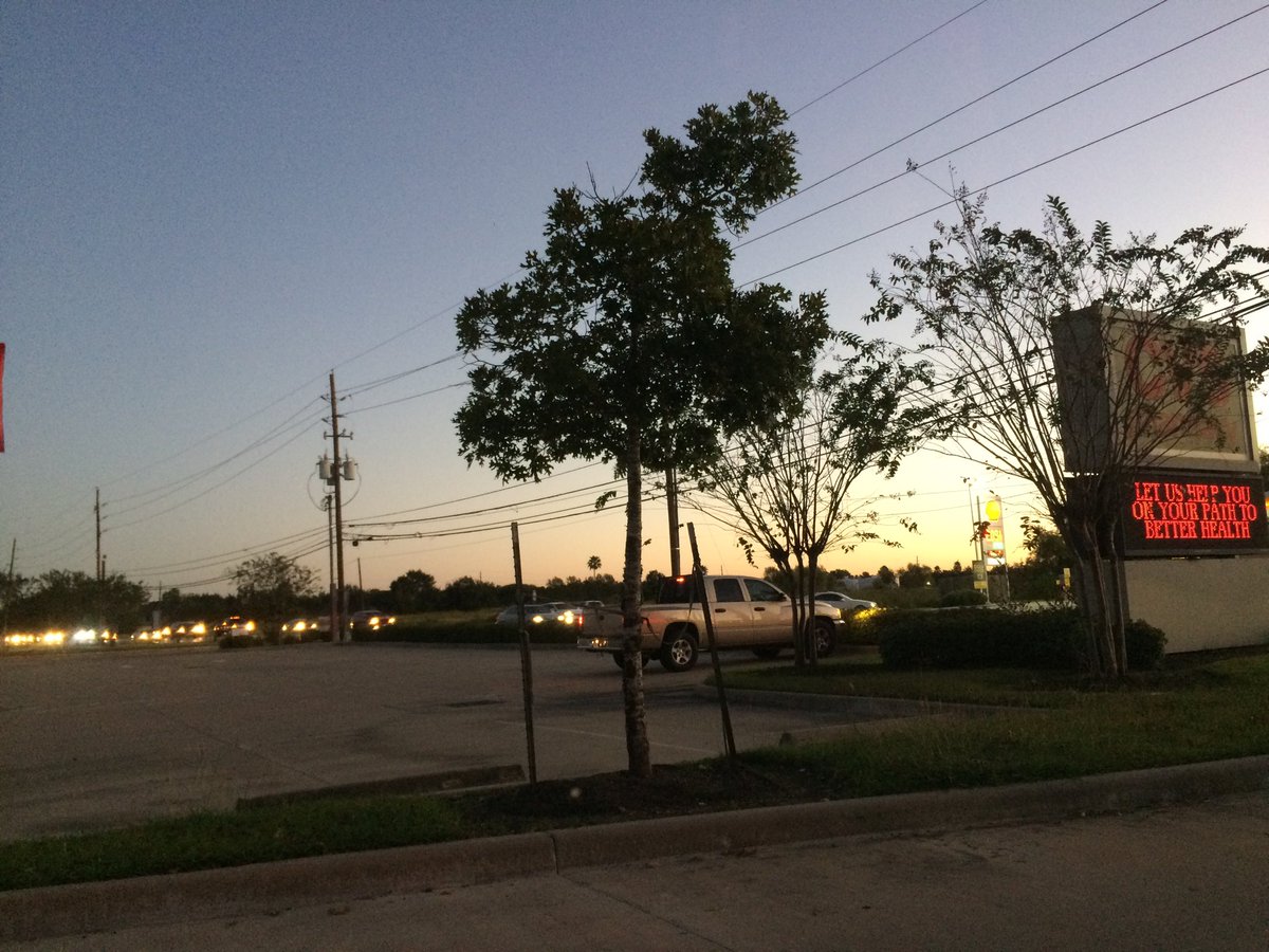
Northwest Houston, TX, during the early morning.
Summary: The day was sunny, clear, and dry. No rain. I didn't see any rain on the radar, over the Houston, TX area, during anytime of the day. I didn't see, feel, or hear any rain drops. The sky looked to be completely cleared of any clouds, during the morning, afternoon, evening, and night. The wind speeds looked to calm with gentle to moderate gusts and some moderately strong gusts. It felt cold, during the early morning. It felt very cool, during the mid-morning. It started to feel cool, becoming only a little cool, during the late morning. It felt warm with a little cool wind gust, during the afternoon and evening. It started to feel cool during the early night. It felt very cool, during the late night. There were no watches, warnings, alerts, advisories, or weather statements/outlooks issued for the Houston, TX area, that I know of. The low temperatures looked to be in the mid to high 40's with maybe some low 40's and the high temperatures looked to be in the mid to high 70's, for the Houston, TX area.
Houston, TX Storm Summary: No rain. I didn't see any rain on the radar, over the Houston, TX area, during anytime of the day. I didn't hear about any reports of flooding, or storm damage.
My Storm Summary: I didn't see, feel, or hear any rain drops. I didn't see any storm, or rain producing like clouds,, flooding, wet road, puddles, wet ground, lightning, or damage. I didn't hear any rumbles of thunder.
Locations: Northwest Houston, TX.
Thoughts: It defiantly felt cold this morning. I had to wear a L.L. Bean hoodie to work.
Area Forecast Discussion
Issued by NWS Houston/Galveston, TX
Issued by NWS Houston/Galveston, TX
Versions: 1 2 3 4 5 6 7 8 9 10 11 12 13 14 15 16 17 18 19 20 21 22 23 24 25 26 27 28 29 30 31 32 33 34 35 36 37 38 3940 41 42 43 44 45 46 47 48 49 50
534
FXUS64 KHGX 260253
AFDHGX

Area Forecast Discussion
National Weather Service Houston/Galveston TX
953 PM CDT Wed Oct 25 2017

.DISCUSSION...
Forecast is in good shape. Grids have already been updated to
match current conditions and re-shipped back out.  47

&&

.PREV DISCUSSION... /ISSUED 634 PM CDT Wed Oct 25 2017/
AVIATION...
Generally VFR conditions prevailing with this TAF package as the
cool dry airmass lingers over SE TX. Light offshore winds should
be shifting to the SW/S overnight through tomorrow with the high
moving off to the east. Wind gusts will again be possible during
the afternoon as the slightly higher winds aloft mix down to the
surface. Limited moisture return will also limit overnight CIGS/
VIS issues. 41

PREV DISCUSSION... /ISSUED 345 PM CDT Wed Oct 25 2017/
Another cool...clear dry night is on tap tonight. As surface
ridge passes west to east across the area winds back from N and NW
to more SW overnight. SW winds increase and become more S on
Thursday allowing for moist airmass to begin to advect back into
the area. Cold front drops SEWD across the southern plains
tomorrow and crosses the forecast area from NW to SE on Friday.
Models suggest front will reach the coast around midday Friday
then push offshore during afternoon and evening with breezy and
again cooler and drier conditions in its wake. Given limited
moisture return front will likely go through dry or with just
light showers over NW zones. However would expect a more solid
line of showers as the front tracks into somewhat deeper moisture
near the coast. Have thus kept POPs varying from high chance SE
zones for Friday to slight chance 20s far NW for Friday. Most
areas should be dry Friday night with just perhaps some lingering
showers far SE zones in the evening. Winds will be gusty Friday
night over marine areas and for areas downwind of the bays...such
as Bolivar and Galveston Island.

For Saturday expect a cool dry day with high temperatures only in
the lower to mid 60s at best. Saturday night with surface high
building in and diminishing winds...looks to be a good night for
radiational cooling and will likely be the coldest night so far
this season. Some of the guidance suggests low temps Saturday
night could drop near freezing northern zones and mostly in the
30s elsewhere...warmer near the water. Surface high shifts east
for Monday with onshore flow and more moist airmass returning.
GFS and ECMWF models both showing another front dropping into the
area by Tuesday...this one slower moving. Still several days out
but looking like shower and thunderstorms possible with this next
front Tuesday.  Reilly

MARINE...
Offshore winds and seas continue to decrease across the coastal
waters this afternoon as surface ridging slides across Southeast
Texas. Onshore flow resumes by Thursday morning and strengthens
ahead of an approaching cold front. Caution or advisory flags may be
needed ahead of the cold front Thursday and Thursday night for
moderate onshore flow and again needed behind the cold front by
Friday afternoon as strong offshore flow becomes established behind
the cold front. Expect waves to build accordingly with stronger
flow, approaching 7-9 feet across the offshore waters Friday night.
Conditions are expected to improve through the day Saturday as
surface high pressure builds into Southeast Texas.  Huffman

FIRE WEATHER...
South to southwest flow becoming established this evening will help
promote good to very good overnight recoveries, but minimum
afternoon humidities are again forecast to drop into the 25-35
percent range north of Highway 59 on Thursday. These lower
humidities, combined with winds increasing into the 10-15 MPH
range (with stronger gusts 20-25 MPH), may result in periods of
elevated fire weather conditions on Thursday. Chances for wetting
rains are low with a cold front crossing the region on Friday and
drier air and northerly winds 10-15 MPH behind the front on
Saturday may result in another day with elevated fire weather
concerns.  Huffman

&&

.PRELIMINARY POINT TEMPS/POPS...
College Station (CLL)      50  82  55  66  36 /   0   0  10  20  10
Houston (IAH)              53  82  62  69  42 /   0   0  10  40  10
Galveston (GLS)            65  80  71  76  50 /   0   0  10  50  20

&&

.HGX WATCHES/WARNINGS/ADVISORIES...
TX...NONE.
GM...NONE.

&&

$$
No comments:
Post a Comment