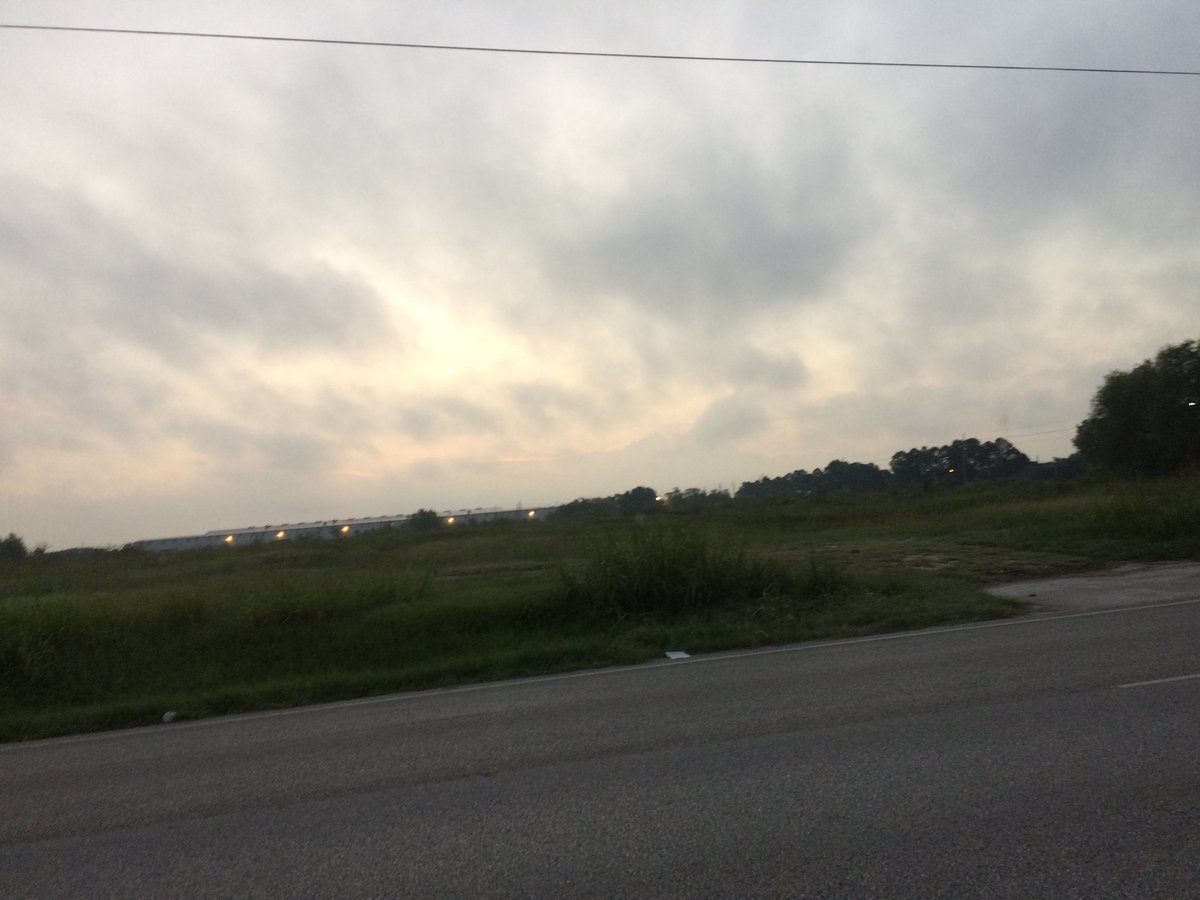
Northwest Houston, TX, during the early morning.
Northwest Houston, TX, during the early afternoon.
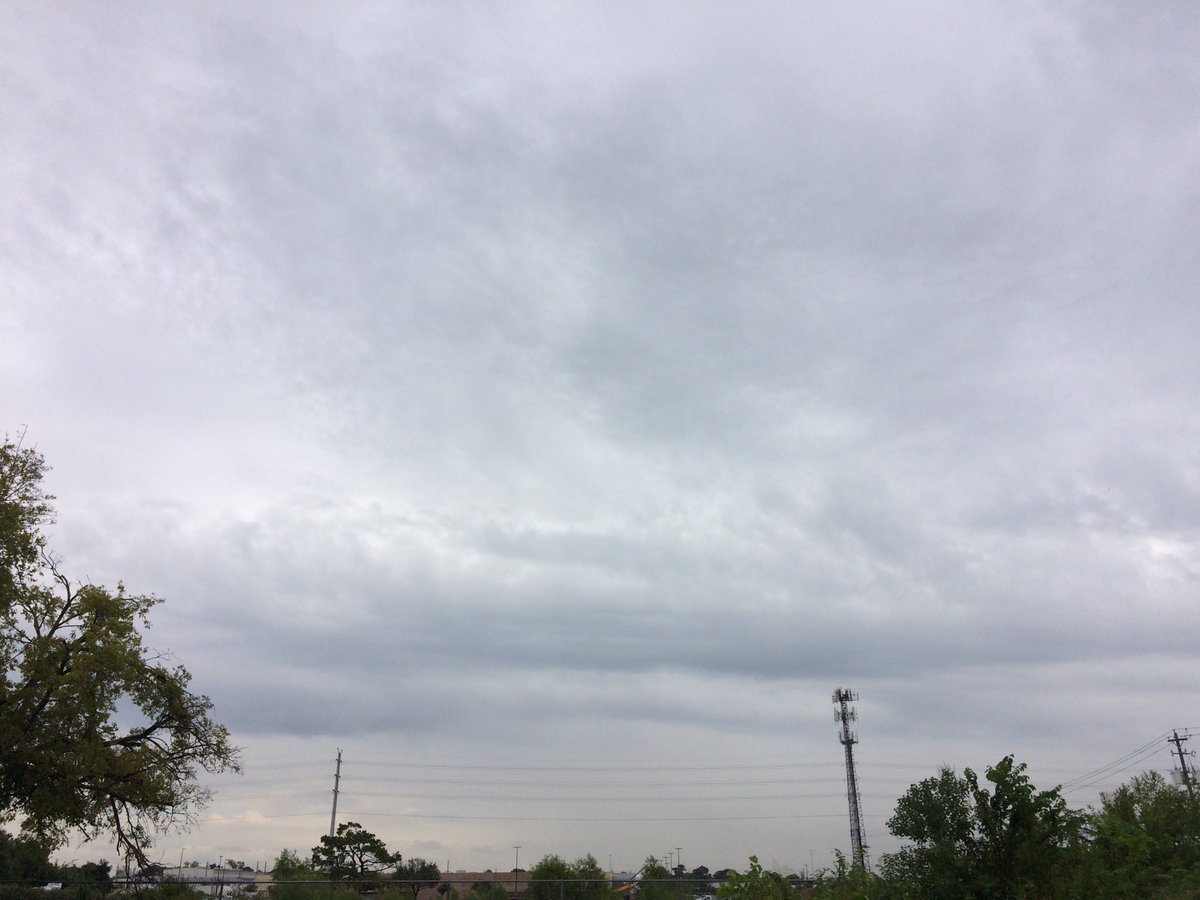
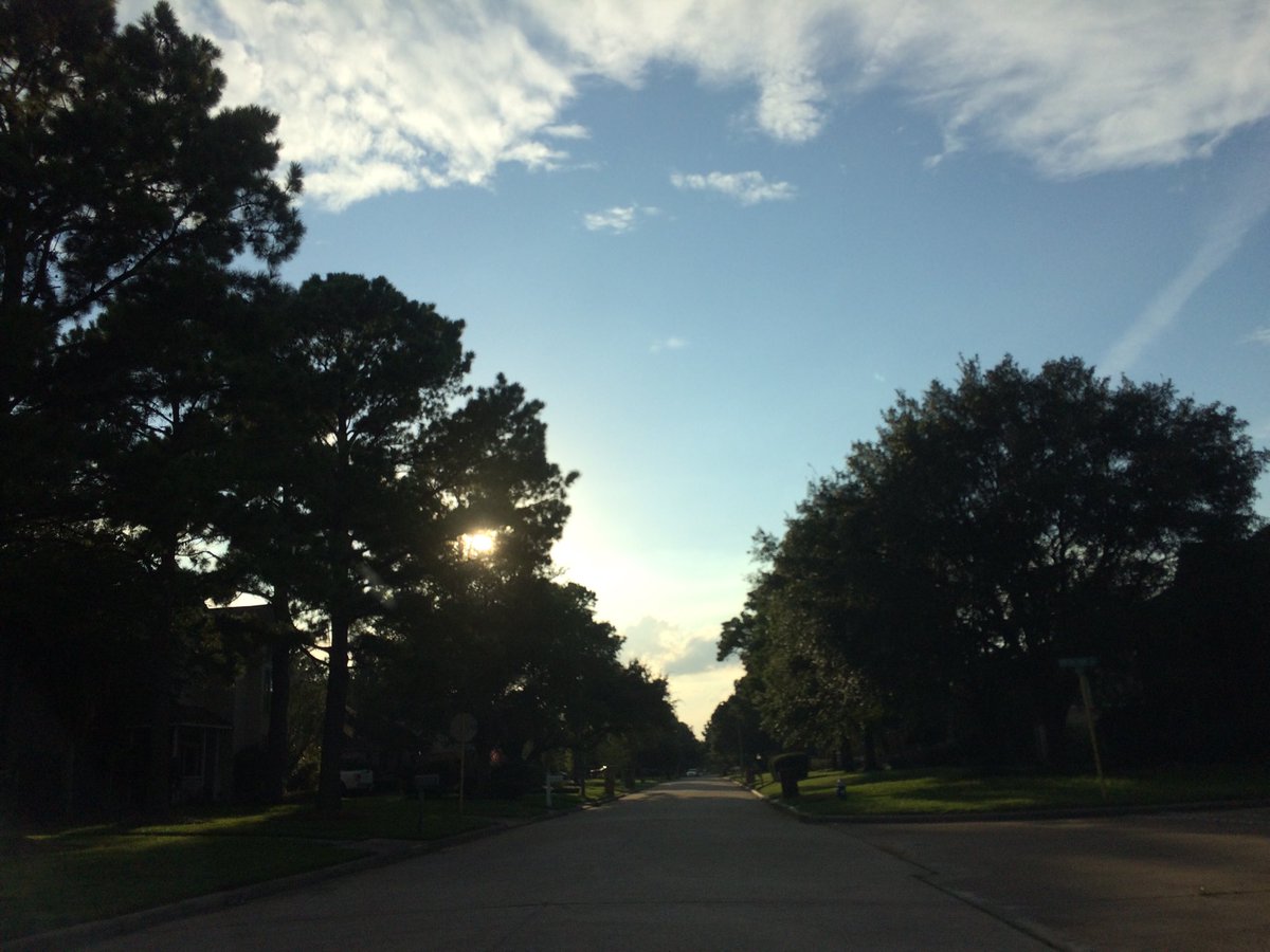
Northwest Houston, TX, during the late afternoon.
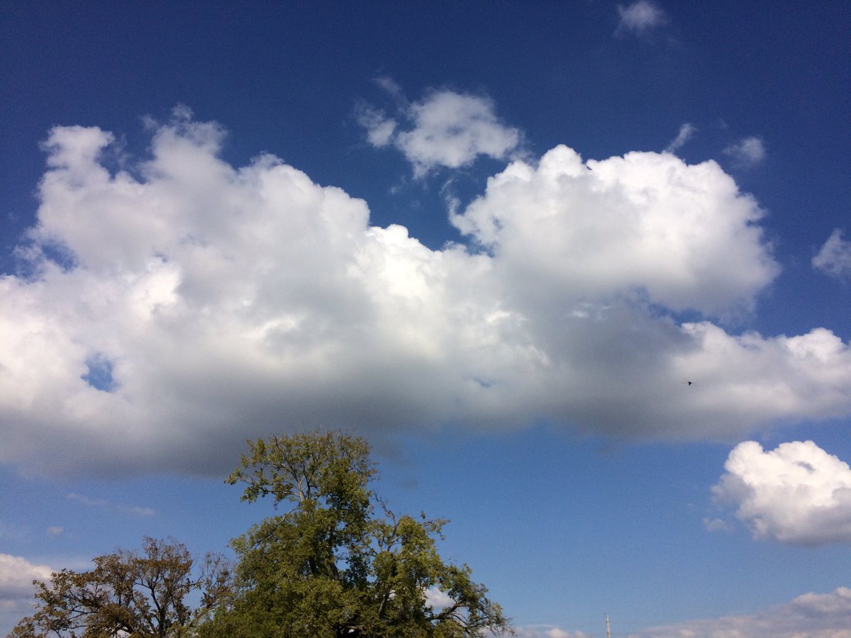
West Houston, TX, during the early evening.
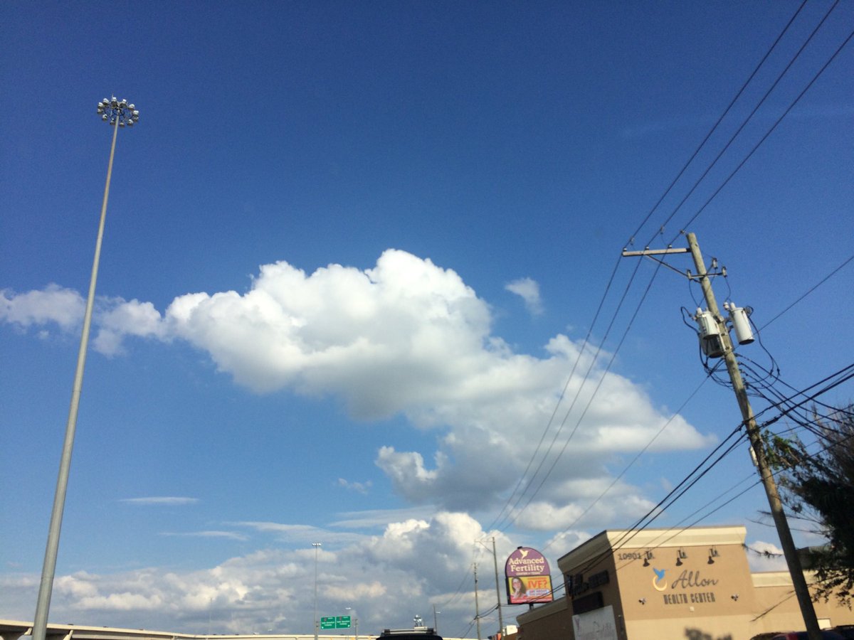
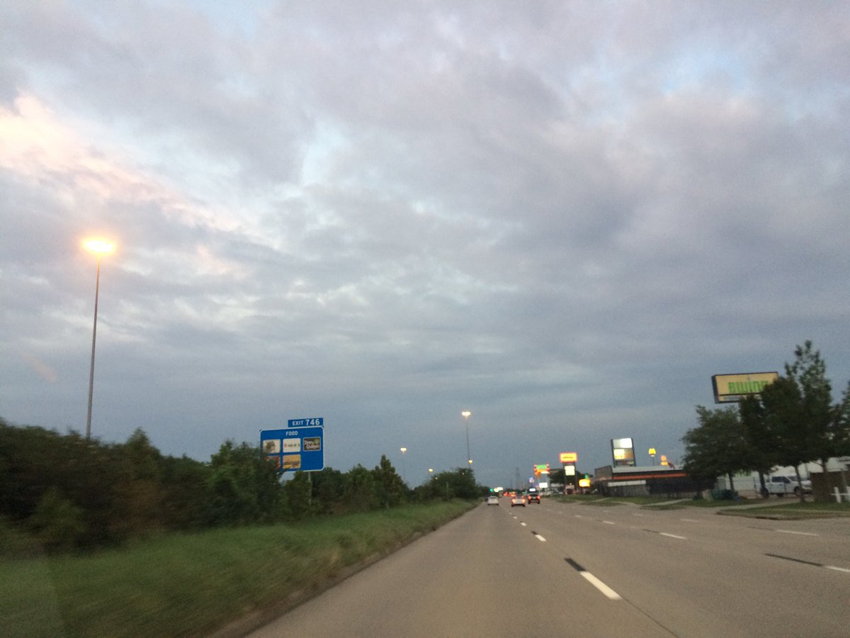
Katy, TX, during the early evening.
Katy, TX, during the late evening.
Summary: The day was dry, mostly cloudy, and sunny. Isolated light to moderately heavy showers and maybe a few thunderstorms were scattered in and around the east side of Houston, TX, during the morning and afternoon. A huge cluster of moderately heavy to heavy showers and maybe a few thunderstorms formed over east Houston, TX, during the evening and stayed around through the early night, before dissipating sometime during the late night. I didn't see, feel, or hear any rain drops. Stratus clouds looked to cover most of the sky, during the early and mid-morning, mid and late afternoon and early evening. Stratus clouds looked to cover the whole, or maybe almost the whole sky, during the late morning, early afternoon, and late evening. Stratus clouds looked to cover the whole sky, during the night. The wind speeds looked to be calm with gentle to moderate gusts and some moderately strong gusts with maybe some occasional really strong 20 mph gusts, during the late morning and maybe early afternoon. The wind speeds looked to be calm with maybe some gentle to moderate gusts and some possible occasional moderately strong gusts, during the early and mid-morning, mid and late afternoon, evening, and maybe night. The wind speeds looked to be calm during the night. It felt warm, during the early and mid-morning. It felt very warm, almost hot, during the late morning and afternoon. It felt very warm during the early evening. It felt warm, during the late evening and night. There was a Hazardous Weather Outlook issued for the Houston, TX area. As well as a Beach Hazards Statement, issued for the Galveston, TX area, just southeast of the Houston, TX area. There were no other watches, warnings, alerts, advisories, or weather statements/outlooks issued for the Houston, TX area, that I know of. The low temps looked to be in the 70's and the high temps looked to be in the 80's with maybe some 90's, or 90's with some 80's, for the Houston, TX area.
Houston, TX area Storm Summary: Isolated light to moderately heavy showers and maybe a few thunderstorms were scattered in and around the east side of Houston, TX, during the morning and afternoon. A huge cluster of moderately heavy to heavy showers and maybe a few thunderstorms formed over east Houston, TX, during the evening and stayed around through the early night, before dissipating sometime during the late night. I didn't hear about any reports of flooding, or storm damage.
My Storm Summary: I didn't see, feel, or hear any rain drops. I did see some storm/shower/rain looking clouds, during the afternoon, evening, and night. I didn't see any flooding, wet roads, or wet ground, or lightning, or storm damages. I thought I heard a distant rumble of thunder, during the late night, while I was sleeping/ half awake, but it might have been some other noise.
Locations: Northwest and west Houston, TX and Katy, TX.
Thoughts: It looks like Houston, TX is expected to get lots of rain tomorrow and maybe the day after.
Area Forecast Discussion
Issued by NWS Houston/Galveston, TX
Issued by NWS Houston/Galveston, TX
Versions: 1 2 3 4 5 6 7 8 9 10 11 12 13 14 15 16 17 18 19 20 21 22 23 24 25 26 27 28 29 30 31 32 33 34 35 36 37 38 3940 41 42 43 44 45 46 47 48 49 50
000
FXUS64 KHGX 030259
AFDHGX

Area Forecast Discussion
National Weather Service Houston/Galveston TX
959 PM CDT Mon Oct 2 2017

.UPDATE...
Evening surface analysis placed a small surface low near the
lower Galveston Bay, with an associated enhanced pressure gradient
resulting in 20-25 knot southeasterly wind gusts along Bolivar
Peninsula. These elevated onshore winds are not only resulting in
a high rip current risk per the Galveston Beach Patrol but have
also pushed tide levels to around 2.5 feet MLLW at the Galveston
Bay Entrance. These winds are expected to result in tides rising
above 3 feet early Tuesday morning around high tide. As a result,
a Beach Hazards Statement has been issued to cover rip current and
minor coastal flooding issues that may result from these
conditions.

The majority of the shower activity over the Houston metro this
evening has mostly dissipated, but light rain bands associated
with this low are developing near the Sabine Pass and lifting
towards the northwest. Have lowered rain chances for this evening
based on radar trends as well as both the THOU and KHGX wind
profiles showing veering 925 and 850 MB winds (reflecting the
presence of the low and some very weak dry air advection). As this
surface low moves farther inland/ loses definition, RAP vertical
wind profiles show low level winds backing more to the southeast
and this would provide a few windows for additional showers during
the overnight hours. Expect greatest coverage across the
southeastern forecast area and eastern waters where directional
and speed wind convergence is maximized.

Huffman

&&

.PREV DISCUSSION... /ISSUED 621 PM CDT Mon Oct 2 2017/

AVIATION...
The disturbance over the Gulf will move inland this evening and
should provide area TAF sites with some showers especially coastal
TAF sites. Will carry VCSH generally south of KIAH tonight.
Moisture levels deepen further early Tuesday and fcst soundings
look supportive of thunder and potentially heavy rain. Models
differ with regard to placement of the heaviest rain and timing so
confidence on when to TEMPO thunder is low. Showers will begin to
diminish late Tuesday or early Tuesday evening. 43

PREV DISCUSSION... /ISSUED 343 PM CDT Mon Oct 2 2017/

DISCUSSION...
Precipitation coverage across SE TX is expected to continue increasing
through the rest of this afternoon as moisture continues to move
in from the Gulf. This activity should wind down shortly after
sunset with development likely over the coastal waters overnight/toward
sunrise. Showers/thunderstorms will be more widespread tomorrow
as a slug of slightly deeper moisture (PWs up to 2.5 inches) moves
in from the Gulf. Locally heavy rain to remain the main
threat...but storms will be moving and still not seeing any
indications of low level boundaries/upper level disturbances to
enhance development at this time.

As the upper ridge builds in from the E/NE on Wed, this moisture
will be shifting off to the W/SW portions of the CWA. The ridging
aloft should make for quieter/warmer weather for the rest of the
week. Temperatures progged to climb back up to near 90F during
this time frame, with only a slight chance of rain generally
during the day with the seabreeze. 41

MARINE...
A non-tropical area of low pressure can be see in GOES 16 visible
satellite imagery about 40 miles SE of Galveston and is moving NW
around 15 knots. The system should push inland around 00-01Z or 7-
8PM CDT this evening. The system does have some convection around it
but it is mainly enhancing E to NE winds along the Upper Texas Coast
and Galveston Bay. Tides are about 1.5 to 2 feet above normal
with overall water levels around 3-3.5ft above MLLW. Tides along
the coast are headed towards low tide so impacts may be limited to
the next few hours along Bolivar Peninsula and Galveston Island.

Overall the forecast looks to be on track with moderate to strong
east winds developing Tuesday through the end of the week. These
winds have a pretty long fetch which should support rough seas
developing along with some low swells. Look for small craft advisory
conditions developing late Tuesday and persisting into Thursday.
Moderate seas will continue into the weekend with decreasing winds.

Overpeck

&&

.PRELIMINARY POINT TEMPS/POPS...
College Station (CLL)      75  87  73  88  70 /  20  60  50  30  20
Houston (IAH)              75  87  74  87  71 /  30  60  50  40  20
Galveston (GLS)            80  86  79  88  78 /  40  60  50  40  20

&&

.HGX WATCHES/WARNINGS/ADVISORIES...
TX...NONE.
GM...SMALL CRAFT SHOULD EXERCISE CAUTION until 5 AM CDT Tuesday for
     the following zones: Coastal waters from Freeport to the
     Matagorda Ship Channel out 20 NM...Galveston Bay...Waters
     from Freeport to the Matagorda Ship Channel from 20 to 60
     NM.

     Small Craft Advisory until 5 AM CDT Tuesday for the following
     zones: Coastal waters from High Island to Freeport out 20
     NM...Waters from High Island to Freeport from 20 to 60 NM.

&&

$$

Discussion...14
Hazardous Weather Outlook
Hazardous Weather Outlook
National Weather Service Houston/Galveston TX
443 AM CDT Mon Oct 2 2017

TXZ163-164-176>179-195>200-210>213-226-227-031200-
Austin-Brazos-Burleson-Colorado-Fort Bend-Grimes-Harris-Houston-
Liberty-Madison-Montgomery-Polk-San Jacinto-Trinity-Walker-Waller-
Washington-Wharton-
443 AM CDT Mon Oct 2 2017

This hazardous weather outlook is for portions of Southeast Texas.

.DAY ONE...Today and Tonight

Increasing rain chances could bring periods of locally heavy rainfall.

.DAYS TWO THROUGH SEVEN...Tuesday through Sunday

Elevated rain chances could bring periods of locally heavy rainfall
Tuesday and Wednesday. Expect decreasing coverage and intensity
during the day on Wednesday from east to west.

.SPOTTER INFORMATION STATEMENT...

Spotter activation might be needed during the first half of the week.

$$
No comments:
Post a Comment