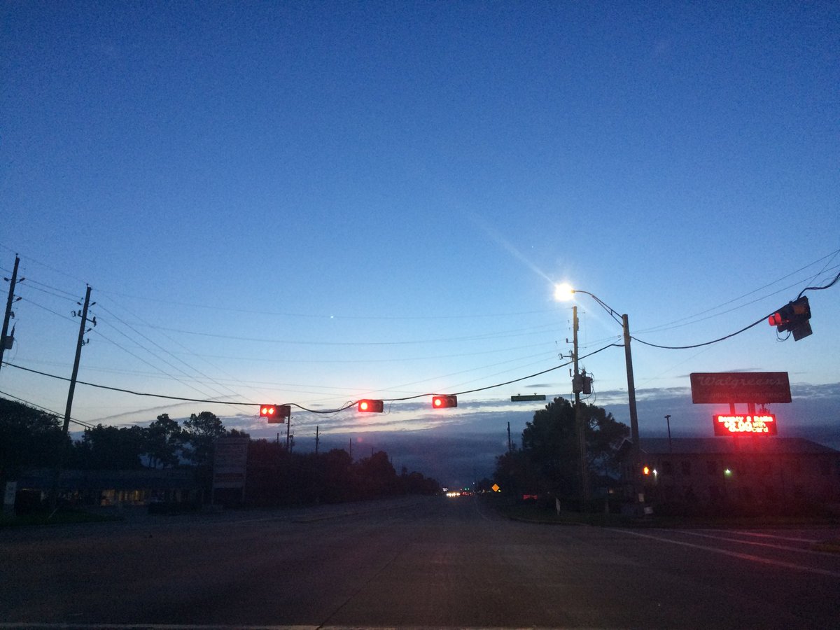
Northwest Houston, TX during the early morning.
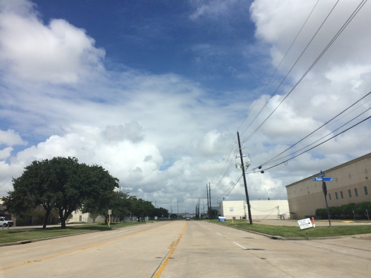
Northwest Houston, TX, during the early afternoon.
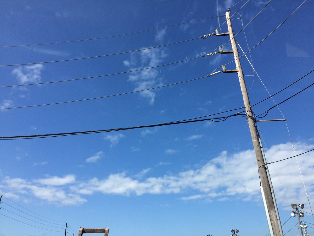
Cypress, TX, or near Cypress, TX, during the early afternoon.
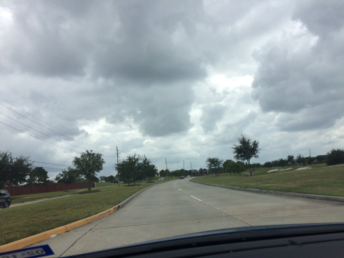
Northwest Houston, TX, during the mid-afternoon.
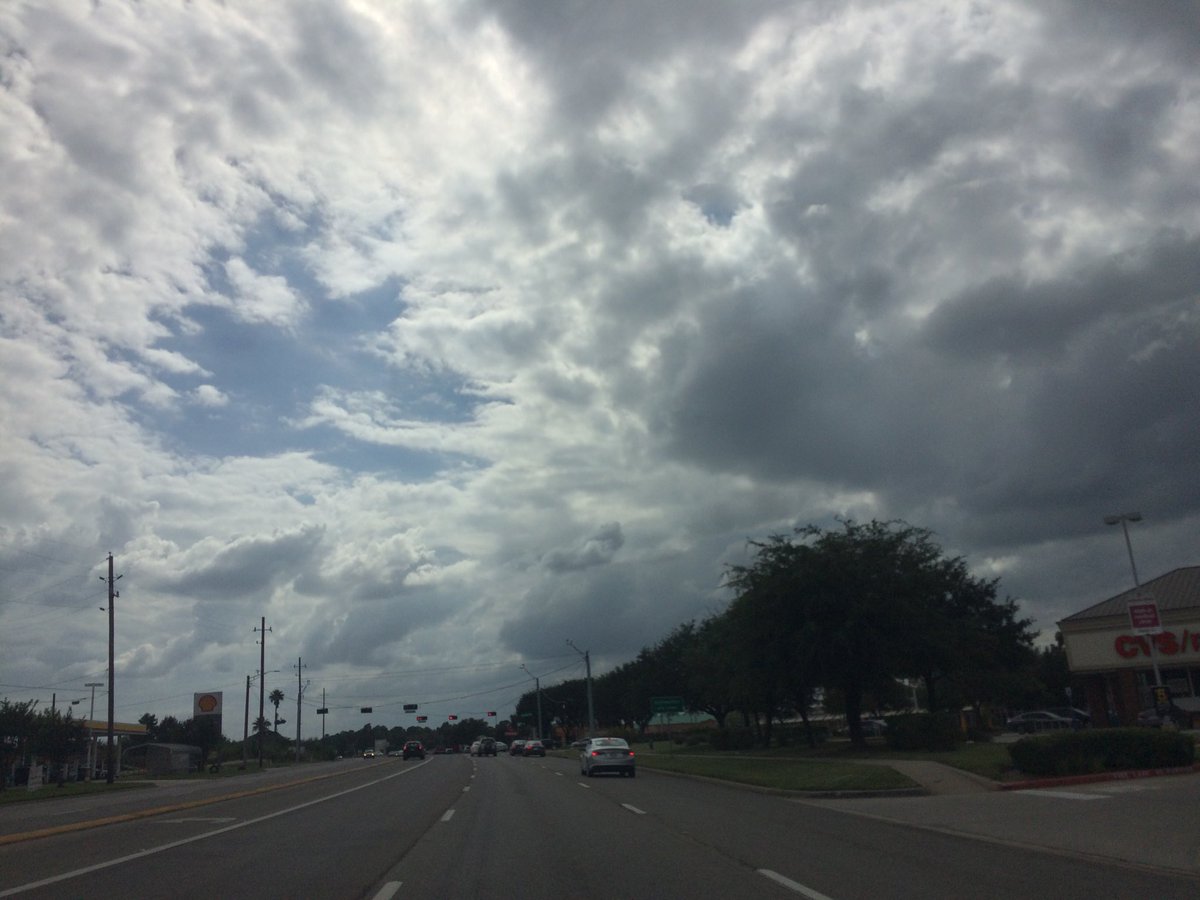
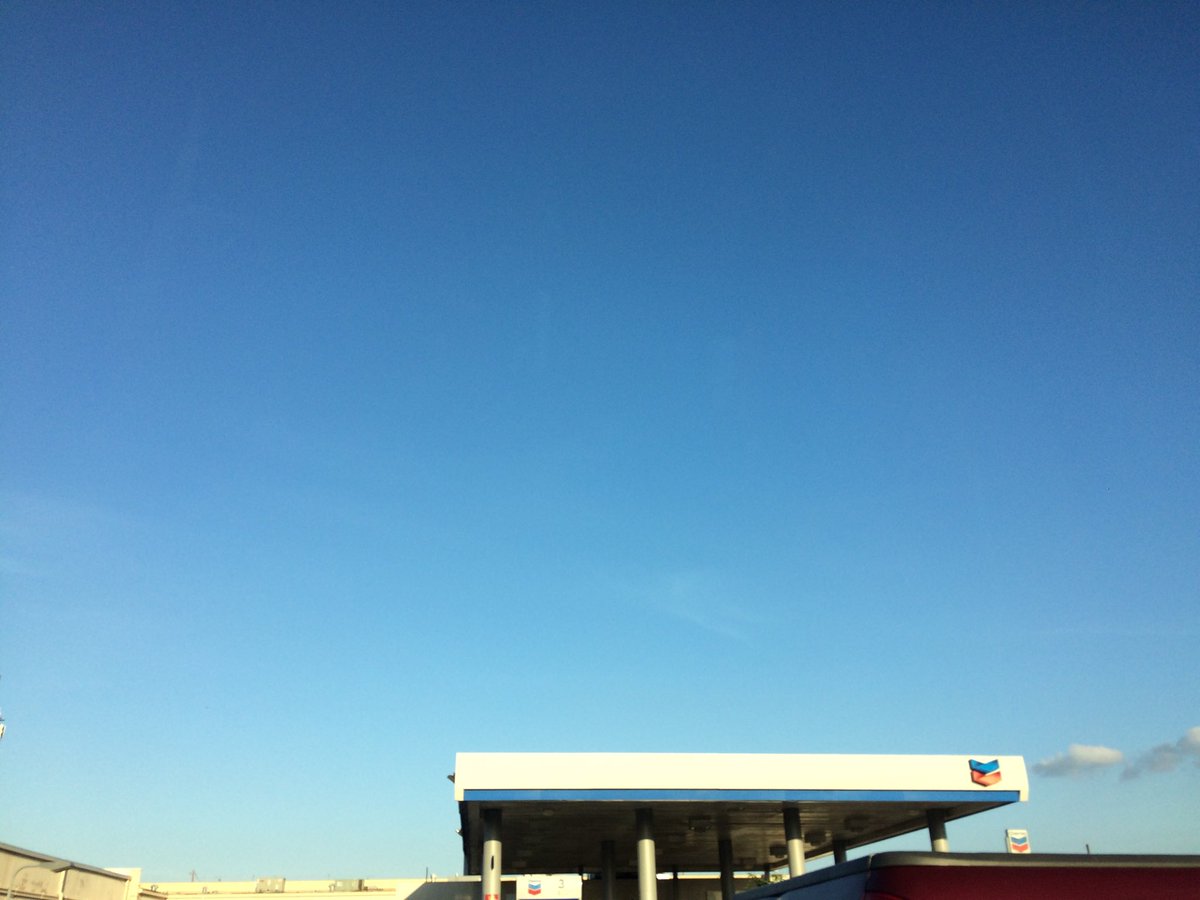
Northwest Houston, TX, during the late afternoon.
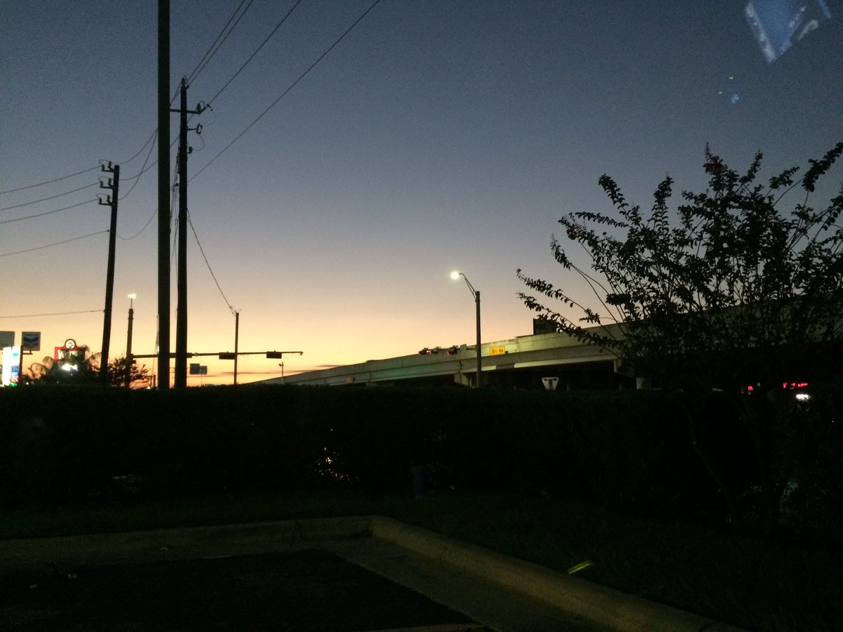
Northwest Houston, TX, during the early evening.
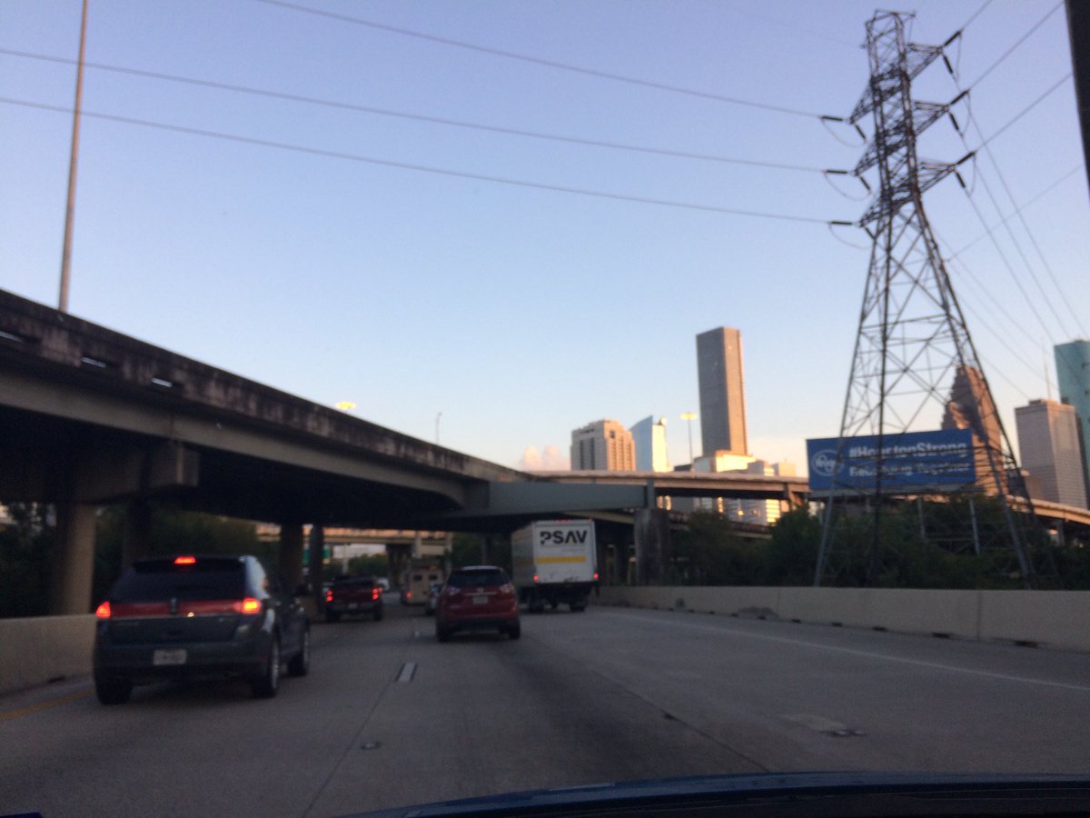
Downtown Houston, TX, during the early evening.
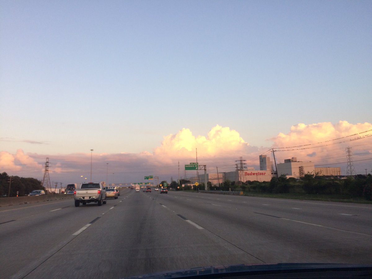
In, or maybe near Channel View, TX, during the early evening.
Channel View, TX during the late evening.
Northwest Houston, TX, during the late afternoon.
Northwest Houston, TX, during the early evening.
Downtown Houston, TX, during the early evening.
In, or maybe near Channel View, TX, during the early evening.
Channel View, TX during the late evening.
Summary: The day was warm, dry, and mostly, mostly cloudy. I didn't see any rain over Houston, TX, on the radar, but heard that there were some light to maybe moderate showers in the southeast area of Houston, TX, during the morning, afternoon, and maybe evening, and night. I felt a couple of possible light rain drops, while I was walking the dogs at work, in northwest Houston, TX, during the late morning. The sky looked to be partly covered with stratus clouds, during the early morning and early evening. The sky looked to be mostly and sometimes completely covered in stratus clouds, during the late morning and early and mid-afternoon, and maybe mid-morning. Alto stratus and stratus clouds looked to be widely scattered across the sky, during the late afternoon. The sky looked to be becoming clear with maybe just a few alto stratus and stratus clouds in the sky, during the late evening. The sky looked to be clear with maybe just a few alto stratus and stratus clouds, during the night. The wind speeds looked to be calm with maybe some gentle to moderate gusts and some moderately strong gusts. It felt warm, during the morning, late afternoon, late evening, and night. It started to feel very warm, during the mid-afternoon. It felt very warm, during the late afternoon and early evening. I heard that there was a Flood Advisory in the southeast area of Houston, TX, sometime during the morning and afternoon, I think. There were other watches, warnings, alerts, advisories, or weather statements/outlooks issued for the Houston, TX area, that I know of. The low temps looked to be in the 70's and the high temps looked to be in the 80's with maybe some 90's, for the Houston, TX area.
Houston, TX Storm Summary: I didn't see any rain over Houston, TX, on the radar, but heard that there were some light to maybe moderate showers in the southeast area of Houston, TX, during the morning, afternoon, and maybe evening, and night. I heard that there was a Flood Advisory in the southeast area of Houston, TX, sometime during the morning and afternoon, I think. I didn't hear anything about any storm damage.
My Storm Summary: I felt a couple of possible light rain drops, while I was walking the dogs at work, in northwest Houston, TX, during the late morning. I saw some rain producing type stratus clouds, during the morning, afternoon, and evening. I didn't see any flooding, or wet roads, or wet ground, lightning, or any storm damage. I didn't hear any rumbles of thunder.
Locations: Northwest, west, downtown, and maybe southeast Houston, TX, Channel View, TX.
Thoughts: Another tropical event for The Gulf of Mexico! Hopefully the last tropical system of the season. There have been a lot of tropical landfalls this season. I don't think anyone can bear the see another one.
Area Forecast Discussion
Issued by NWS Houston/Galveston, TX
Issued by NWS Houston/Galveston, TX
Versions: 1 2 3 4 5 6 7 8 9 10 11 12 13 14 15 16 17 18 19 20 21 22 23 24 25 26 27 28 29 30 31 32 33 34 35 36 37 38 3940 41 42 43 44 45 46 47 48 49
000
FXUS64 KHGX 080232
AFDHGX

Area Forecast Discussion
National Weather Service Houston/Galveston TX
932 PM CDT Sat Oct 7 2017

.DISCUSSION...
A band of isolated showers appeared to be diminishing at 9:30 PM
across the coastal counties mainly east of Freeport. Given the
overall circulation pattern aloft and a fairly deep moisture area,
at least isolated chances for rain will continue along and east of
a line from Cleveland to Freeport and off of the coast. Only major
change to the current forecast was to extend the coastal flood
advisory through Sunday evening.

40

&&

.PREV DISCUSSION... /ISSUED 636 PM CDT Sat Oct 7 2017/

AVIATION.../00Z TAF/
While there is quite a bit of moisture over the southern third of
the area per precipitable water GOES imagery, this has not
amounted to much convection due to the lack of lift. What showers
are out there along the coast should be dissipating over the next
hour if that long. VFR conditions are expected with maybe some
patchy ground fog at KCXO and KLBX. VFR expected tomorrow with
variable winds.

Overpeck

PREV DISCUSSION... /ISSUED 334 PM CDT Sat Oct 7 2017/

DISCUSSION...
Though not a danger to Southeast Texas, Nate is resulting in some
minor impact to coastal portions of our area this afternoon. Several
showers are developing, and swells associated with the storm will
keep tide levels high through the weekend, prompting a coastal flood
advisory and rip current statement. Nate is moving quickly though,
and we can look for a brief return to onshore flow ahead of a cold
front on Tuesday, which will bring some potential for rain, and -
more confidently - drier and cooler air for the middle part of the
week. Look for winds to quickly shift back to be onshore late in the
week, and temperatures should be expected to rise accordingly.

NEAR TERM [Through Tonight]...
A broken line of showers has developed near the coast from Chambers
County down to Matagorda County. They have been nearly stationary,
and strong enough that the two combined have prompted a flood
advisory in Chambers County. We should expect this activity to
continue, and likely expand slightly through the afternoon.
After sundown, the strength of these showers should be sapped, but
since they are also loosely connected with Nate, at this time
don`t expect them to end entirely.

SHORT TERM [Sunday Through Monday Night]...
As Nate accelerates away from the Gulf Coast region Sunday, look
for winds to become north to northwesterly, and usher in a
modestly drier air mass. However, look for this to be short-lived,
as winds look to shift back to southerly and southeasterly Sunday
night. Monday should stay relatively dry given the lack of time
for moisture return, with progged precipitable water values around
or below 1.5 inches. However, rain potential should pick up
modestly Monday night over the Gulf waters. Additionally, rain
chances may perk up on the northwestern edge of our area as a
well-advertised cold front should be nearing the area.

LONG TERM [Tuesday Through Saturday]...
The cold front looks to enter that northwestern portion of the
area towards daybreak Tuesday, with winds beginning to shift in
College Station around sunrise. The front will push relatively
quickly to the coast, reaching the Gulf later in the morning.
However, as it pushes offshore, it does look to lose some steam.
The GFS, as a bit of an extreme, takes the last portion of this
crossing decidedly slower than the Euro, though the trend in the
model has been generally towards the ECMWF`s solution. Whether
due to the relatively short period of moisture return or the
decreasing amount of vigor in the front (or perhaps some of both),
the character of rain along the front will probably be more a
broken line of showers. This should make widespread rainfall
amounts fairly light, with heavier amounts limited to those that
fall under the strongest of cells.

Decidedly cooler and drier air will follow the front into the area
for the midweek, knocking temperatures down on the order of ten
degrees. This should put temperatures in the vicinity of seasonal
averages. How long this persists will likely depend entirely on
how long it takes for high pressure over the Southeast US to
reassert itself over the area and shift winds back to
southeasterly. For those who love fall weather, the answer to this
is likely to be `not long enough.` There`s pretty good agreement
in the guidance right now for winds to become at least easterly
sometime on Thursday, with decidedly onshore flow for Friday. As
such, we can probably expect temperatures to rise again into the
late week. This will surely be enhanced by the development of a
midlevel ridge over the Gulf Coast. Indeed, the GFS centers that
ridge over Southeast Texas, while the Euro is more towards
Mississippi and Alabama. Either way, the enhanced subsidence
should play a role in the return of temperatures back into the
upper 80s.

AVIATION [18Z TAF Issuance]...

An axis of surface directional (wind) convergence has set up in
between LBX-HOU-GLS and this area will be the primary focus for
SHRA and isolated TSRA development through the afternoon hours
before it shifts off the coast by early evening. Anticipate main
impacts to the terminals from this activity (if any) to be MVFR to
possibly IFR visibility from heavy downpours. Outside of
SHRA/TSRA, VFR conditions are expected to prevail through the TAF
period at most terminals with northerly winds less than 10 knots
becoming westerly around 5 knots Sunday morning as Hurricane Nate
moves inland across the central Gulf coast states. MVFR fog will
be possible at CXO and LBX early to mid-morning Sunday before
dissipating with daytime heating.

Huffman

MARINE...

Above normal tides, a high risk for rip currents, and hazardous seas
are expected to continue for the Upper Texas coastal waters as
Hurricane Nate churns towards the Mississippi River this afternoon.
Have made no changes to the ongoing Rip Current Statement and
Coastal Flood Advisory, as long-period swell in the 10-15 second
range from Nate is still expected to arrive tonight. Tides around 2
feet above normal may peak in the 3.5 to 3.8 feet range along the
coast at times of high tide tonight and, combined with longer period
swell, expecting minor overwash of highways along the coast as a
result. This swell will also contribute to significant wave heights
building into the 7-8 feet range offshore and 3-6 feet nearshore.
Have issued a Small Craft Advisory for the offshore waters tonight
into Sunday morning as a result with a Small Craft Should Exercise
Caution statement for the nearshore waters.

Expect conditions to begin improving Sunday afternoon and night as
Nate lifts across the central Gulf coast states. Light onshore flow
at the beginning of the week will quickly become offshore on Tuesday
behind a cold front, but no caution or advisory flags are
anticipated at this time. Offshore winds are expected to gradually
become easterly by the end of the week as surface high pressure
remains parked over the eastern United States.

Huffman

&&

.PRELIMINARY POINT TEMPS/POPS...
College Station (CLL)      69  90  70  94  67 /  10  10   0   0  30
Houston (IAH)              72  91  71  91  73 /  10  10   0  10  20
Galveston (GLS)            79  87  81  88  78 /  20  10  10  10  30

&&

.HGX WATCHES/WARNINGS/ADVISORIES...
TX...Coastal Flood Advisory until 1 AM CDT Monday for the following
     zones: Brazoria...Chambers...Galveston...Matagorda.

GM...SMALL CRAFT SHOULD EXERCISE CAUTION from 1 AM CDT Sunday through
     Sunday afternoon for the following zones: Coastal waters
     from Freeport to the Matagorda Ship Channel out 20 NM...
     Coastal waters from High Island to Freeport out 20 NM.

     Small Craft Advisory from 1 AM to 1 PM CDT Sunday for the
     following zones: Waters from Freeport to the Matagorda Ship
     Channel from 20 to 60 NM...Waters from High Island to
     Freeport from 20 to 60 NM.

&&

$$

Discussion...40
Aviation/Marine...39
No comments:
Post a Comment