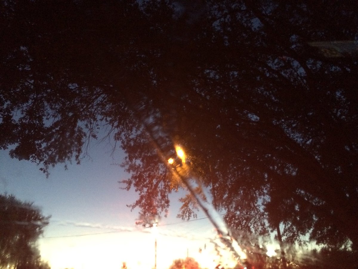
Northwest Houston, TX, during the late evening.
Summary: The day was sunny, cool, and dry. No rain. I didn't see any rain on the radar, in the Houston, TX area, during anytime of the day. I didn't see, feel, or hear any rain drops. The sky looked to be mostly clear with some alto stratus clouds in the background, during the morning, afternoon, evening, and night. The wind speeds looked to be calm with gentle to moderate gusts and maybe some moderately strong gusts. It felt very cool, almost cold, during the early morning. It felt cool, during the mid-morning. It felt a little cool, during the late morning and night. It felt a little cool, almost warm, during the afternoon and evening. There were no watches, warnings, alerts, advisories, or weather statements/outlooks issued for the Houston, TX area, that I know of. The low temperatures looked to be in the low to mid 50's and the high temperatures looked to be in the mid to maybe high 70's, for the Houston, TX area.
Houston, TX Storm Summary: No rain. I didn't see any rain on the radar, in the Houston, TX area, during anytime of the day. I didn't see, or hear about any reports of flooding, or storm damages.
My Storm Summary: I didn't see, feel, or hear any rain drops. I didn't see any storm, or rain producing like clouds, flooding, wet roads, puddles, wet ground, lightning, or damage. I didn't hear any rumbles of thunder.
Locations: Northwest Houston, TX.
Thoughts: It is starting to feel cool again. I am having to learn how to turn my new car's heater on. I bought it back on March 12 of this year and haven't had to really use the ever heater since, until now.
Area Forecast Discussion
Issued by NWS Houston/Galveston, TX
Issued by NWS Houston/Galveston, TX
Versions: 1 2 3 4 5 6 7 8 9 10 11 12 13 14 15 16 17 18 19 20 21 22 23 24 25 26 27 28 29 30 31 32 33 34 35 36 37 38 3940 41 42 43 44 45 46 47 48 49 50
000
FXUS64 KHGX 240253
AFDHGX

Area Forecast Discussion
National Weather Service Houston/Galveston TX
953 PM CDT Mon Oct 23 2017

.UPDATE...
A cool overnight with temperatures bottoming out in the interior
lower 50s...coastal lower 60s. A secondary cold front to come
through and provide a shot of colder...drier air to the region
tomorrow. Strong northerlies in the wake of the front may reach
Wind Advisory criteria along the immediate coastline tomorrow
morning into the early afternoon. Middle 30 to lower 40 degree dew
points...with mid to upper 70 afternoon warmth...will increase
fire weather concerns as daytime relative humidities plummet into
the low to mid 20 percentile through Wednesday. Offshore winds
weaken and return onshore Thursday. The next cold frontal passage
slated for Friday will not have much moisture to work with so
late week rain chances will be low. 31

&&

.PREV DISCUSSION... /ISSUED 624 PM CDT Mon Oct 23 2017/

AVIATION...
A reinforcing cold front will be moving through the area later
tonight. Look for winds to increase and become quite gusty during
the day Tuesday. Otherwise...VFR conditions will prevail.  47

&&

PREV DISCUSSION... /ISSUED 348 PM CDT Mon Oct 23 2017/
Mainly a wind and temperature forecast for this afternoon`s
update. Starting at 06Z, short term guidance such as the HRRR and
RAP13, bring a wind shift into the northern zones of the forecast
area, shifting the winds out of the north/northeast. The coast
should see this wind shift by 10Z. The pressure gradient tightens
during this time frame, and as a result winds will pick up to 5 to
9 mph over land between 06 to 12Z. A secondary cold front
following the front that passed yesterday, will act to provide an
additional reinforcement of cooler air. Low temps this evening are
still expected to range in the 50s to low 60s along the coast,
while the effects of this secondary cold front will not truly be
felt until Tuesday. Model guidance has also trended cooler Tuesday
and Tuesday night, with radiational cooling anticipated with
these clear night skies, and therefore decided to lower temps by a
few degrees.

As the surface high shifts southeast, Monday night into Tuesday,
this tighter pressure gradient should cause an increase in wind
speeds throughout the afternoon Tuesday, keeping winds between
10-15 mph over land, with gusts to around 20 mph. Additionally,
as cooler air continues to advect in the region Tuesday, high
temperatures will struggle to make it out of the mid 70s. Tuesday
will also be the driest day this week, with min RHs between 20 to
25%. With these RH values and stronger winds over the area,
elevated fire weather conditions will be of concern. Tuesday night
into Wednesday will be the coolest night before the weekend, with
low temperatures plummeting into the low 40s near Bryan/College
Station to upper 50s along the coast near Galveston.

Highs again Wednesday will struggle to make it into the mid 70s. The
pressure gradient slackens Tuesday into Wednesday, and a stronger
region of high pressure scoots in from the northeast. Therefore,
fire weather conditions will be less of a threat Wednesday. Onshore
winds will return late Thursday as the area of high pressure
weakens. This will help to increase moisture over the region
Thursday afternoon, and by Friday PWs will range between 0.7 to
1.0 inches.

Timing of the frontal passage late in the week amongst the various
global models is still inconsistent. GFS is still a little faster
than the ECWMF, though the solutions of both have come closer
together in time. Progression of the front through SE TX looks to
occur late Friday afternoon into Saturday morning. Sunny skies
will become partly cloudy as a result of the front Friday
afternoon. The ECMWF also brings in a bit more precipitation out
ahead of the front than the GFS, late Friday into Saturday. In
terms of intensity, the ECMWF is providing the coolest solution in
comparison to the GFS and NAM. Remaining conservative in the
forecast for now, though leaning towards the ECMWF solution.
Saturday into Sunday, 850 temperatures range between 2 to 5 degree
Celsius, which is a touch on the colder side for this time of
year. Confidence remains low on just how strong this front will
be. Therefore, temperatures could trend cooler this weekend as the
models get a better handle on the airmass in the next few days. 08

&&

MARINE...
Winds over the waters are relatively light this afternoon and will
continue so into the evening as high pressure moves east of the
area. Winds should pick up overnight as a front moves through, and
are expected to reach advisory levels over the Gulf by morning. The
advisory begins a few hours before the threshold is forecast to be
met to cover the period of SCEC-level wind. The advisory carries
through Wednesday morning - the 0-20 nm zones may see a bit of a
lull in the afternoon, but with the expectation that winds will
exceed the advisory threshold again tomorrow night, chose to keep
one longer advisory.

Look for winds to diminish Wednesday as another high pressure center
moves across the region. As that high moves off to the east, onshore
flow should return on Thursday. The next front is expected to arrive
Friday, and looks strong enough to bring another period of strong,
gusty winds. 25

&&

FIRE WEATHER...
Dry air will be reinforced by another cold front overnight. Unlike
today, winds behind the front will be considerably stronger. As a
result, we`ll be looking at an RH and wind combo that is near the
threshold for a red flag warning. Min RHs look to be in the
neighborhood of 25 percent (a touch lower farther inland, a smidge
higher at the coast), with winds also in the 15 mph ballpark and
gusts to around 20 mph. In addition to that, overnight recovery
looks decent, but not outstanding tonight, and even worse Tuesday
night. But, with all that said, we are fortunate to have generally
wetter than normal fuels. Outside of the 10 hour fuels, which are
more receptive to changes in RH, rain from Sunday morning will help
mitigate conditions. Because of that, will decide against going with
any fire weather headlines. However, those with more grassy fuels
should be aware of the dry air and winds expected, and understand
that fire may spread more rapidly than they might expect given the
recent rain.

Low humidity will persist deep into the week, until the return of
onshore winds on Thursday will begin to return moisture back to
Southeast Texas. Fortunately, high pressure drifting across the area
will keep winds lighter than we`ll see tomorrow. This will mitigate
fire weather concerns to some extent for Wednesday and Thursday.
25

&&

.PRELIMINARY POINT TEMPS/POPS...
College Station (CLL)      52  78  43  76  46 /   0   0   0   0   0
Houston (IAH)              53  76  48  76  49 /   0   0   0   0   0
Galveston (GLS)            61  76  58  73  62 /   0   0   0   0   0

&&

.HGX WATCHES/WARNINGS/ADVISORIES...
TX...NONE.
GM...Small Craft Advisory from 4 AM to 4 PM CDT Tuesday for the
     following zones: Galveston Bay...Matagorda Bay.

     Small Craft Advisory from 4 AM Tuesday to 3 AM CDT Wednesday for
     the following zones: Coastal waters from Freeport to the
     Matagorda Ship Channel out 20 NM...Coastal waters from High
     Island to Freeport out 20 NM...Waters from Freeport to the
     Matagorda Ship Channel from 20 to 60 NM...Waters from High
     Island to Freeport from 20 to 60 NM.

&&

$$

Discussion...31/47
No comments:
Post a Comment