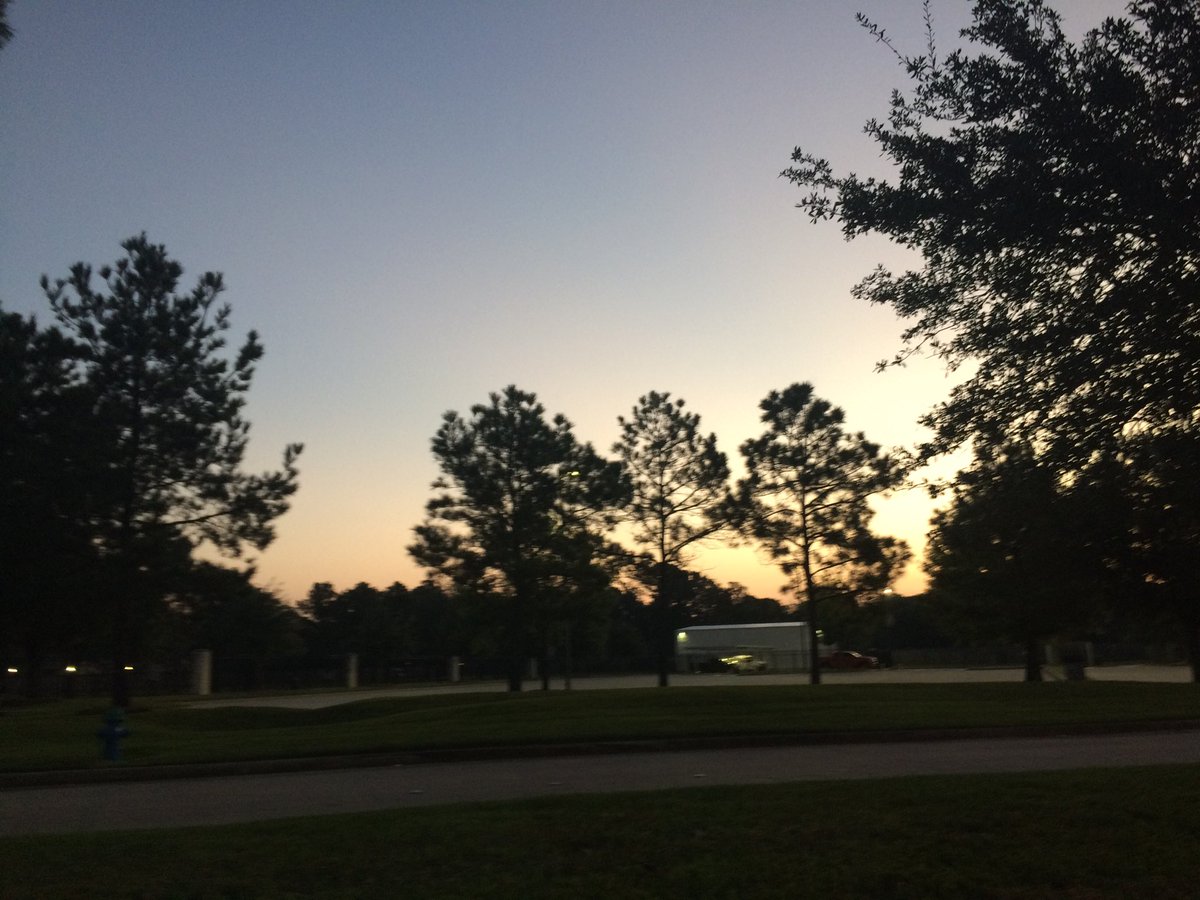
Northwest Houston, TX, during the early morning.
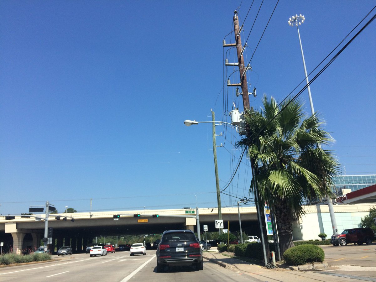
West Houston, TX, during the early afternoon.
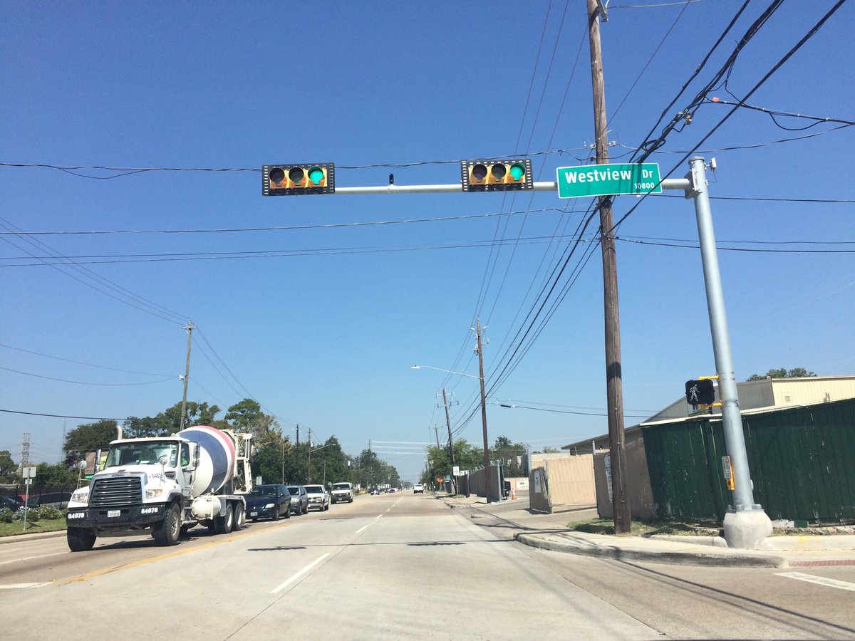
Northwest Houston, TX, during the early afternoon.
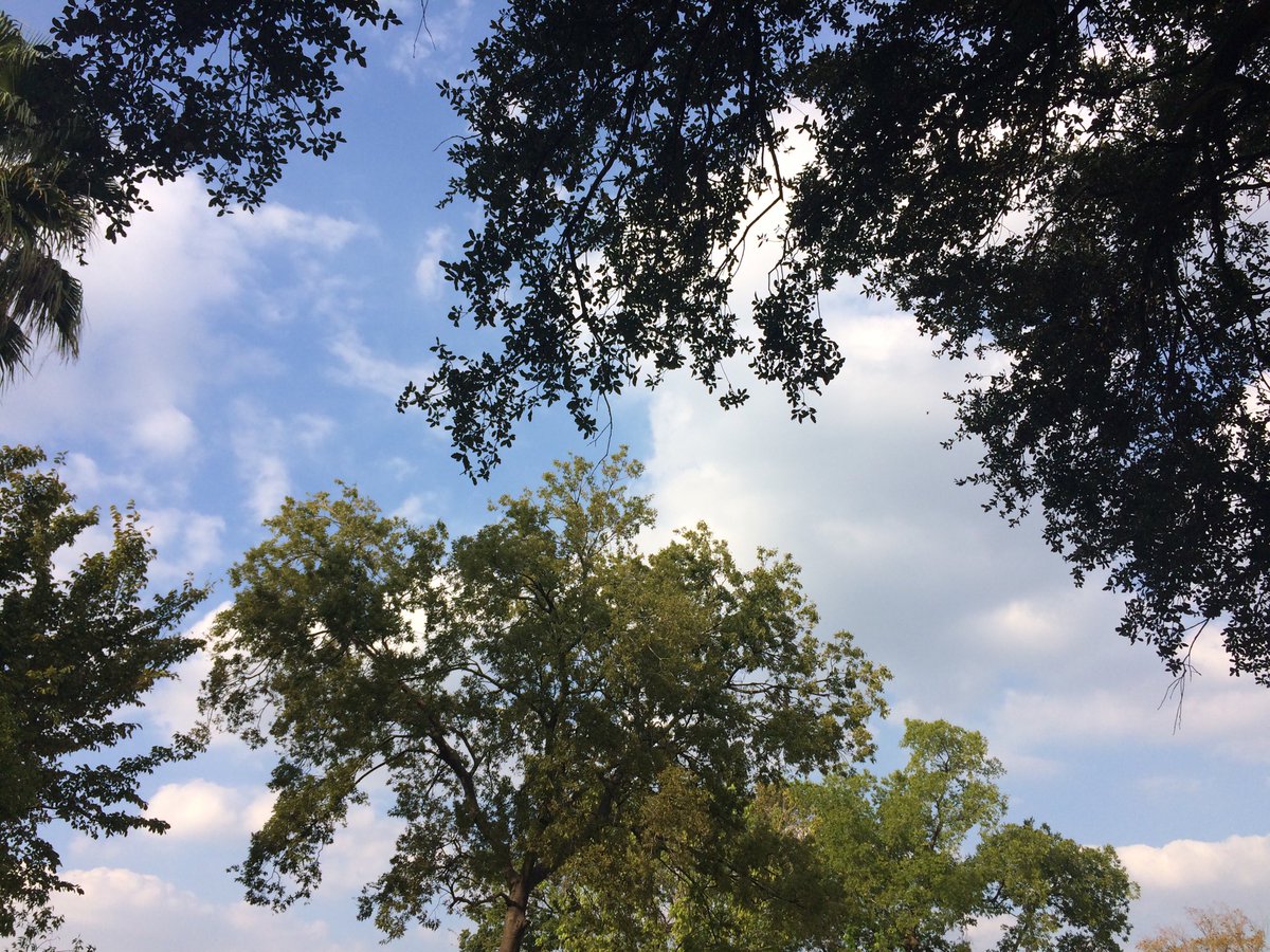
Northwest Houston, TX, during the early evening.
Summary: The day was sunny, dry, and very warm. I didn't see any rain on the radar, over the Houston, TX area, during anytime of the day. I didn't see, feel, or hear any rain drops. The sky looked to be mostly clear with just some thin alto and possible cirro stratus clouds, during the morning, early afternoon, late evening, and night. Alto stratus and stratus clouds looked to be widely scattered across the sky, during the mid and late afternoon and early evening. The wind speeds looked to be calm with gentle to moderate gusts and some moderately strong gusts. It felt a little cool, during the early morning. It felt warm, during the mid-morning, late evening, and night. It felt very warm, during the late morning and early evening. It felt very warm, almost hot, during the afternoon. There was a Air Quality Alert issued for the next day Friday Oct. 13, 2017, by NOAA. There were no other watches, warnings, alerts, advisories, or weather statements/outlooks issued for the Houston, TX area, that I know of. The low temperatures looked to be in the 60's and the high temperatures looked in the 90's with maybe some 80's, for the Houston, TX area.
Houston, TX Storm Summary: I didn't see any rain on the radar, over the Houston, TX area, during anytime of the day. There were no reports of flooding, or damages, that I know of.
My Storm Summary: I didn't feel, see, or hear any rain drops. I didn't see any storm clouds, flooding, wet roads, wet ground, lightning, or damage. I didn't hear any rumbles of thunder.
Locations: Northwest and west Houston, TX.
Thoughts: It is still feeling very warm in Houston, TX. No fall weather yet! Maybe next week.
Issued by NWS Houston/Galveston, TX
Home | Current Version | Previous Version | Text Only | Print | Product List | Glossary Off
Versions: 1 2 3 4 5 6 7 8 9 10 11 12 13 14 15 16 17 18 19 20 21 22 23 24 25 26 27 28 29 30 31 32 33 34 35 36 37 38 39 40 41 42 43 44 45 46 47 48 49 50
195
FXUS64 KHGX 130230
AFDHGX
Area Forecast Discussion
National Weather Service Houston/Galveston TX
930 PM CDT Thu Oct 12 2017
.DISCUSSION...
Tonight light/calm winds are expected with mostly clear skies
which should support radiational cooling. With dewpoints in the
upper 60s to low 70s, patchy fog will be possible across the area
mainly through rural areas outside of metro Houston. Fog was
already in the forecast mainly SW of Houston but latest SREF
probabilities show more widespread area. Mention of fog has been
expanded to account for more widespread fog. Otherwise forecast
looks on track with the next cold front expected Sunday going into
Monday. Models seem to be pushing up the timing of frontal
passage for Sunday and this fine tuning will continue.
Overpeck
&&
.PREV DISCUSSION... /ISSUED 651 PM CDT Thu Oct 12 2017/
AVIATION...
VFR. Mainly clear overnight skies and near calm breezes. These
conditions are becoming more ripe for early morning fog
development. Feel that while some sites will achieve sub-three
degree dew point depressions by sunrise...lacking lower level
moisture will focus very shallow (MVFR) fog formation over more
rural terminals. Breezes veering around to onshore by this time
tomorrow will pick up moisture and chances for more widespread
significant fog formation Saturday. 31
PREV DISCUSSION... /ISSUED 348 PM CDT Thu Oct 12 2017/
DISCUSSION...
Little change has been made to the Southeast Texas forecast with
the afternoon package. Very warm afternoon high temperatures will
persist for the next several days as strong mid/upper level ridging
remains in control. The ridge breaks down late in the weekend as
the next longwave trough moves eastward across the Central Plains
and allows a strong cold front to move across our area on Sunday
and off the coast Sunday evening. Some showers and maybe an isolated
thunderstorm or two will be possible over the weekend as moisture
levels increase before the front`s arrival. A much drier air mass
moving into the area behind the front will bring rain chances back
to zero and will really cool temperatures down for at least the
first half of the week. A weak return flow off the Gulf looks to
set up toward the end of the week as surface high pressure weakens
and gradually moves off to the east resulting in gradually warming
temperatures. 42
MARINE...
Light and variable winds this afternoon will continue to become more
east to southeasterly as the surface ridge continues to shift NE out
of the region. Should begin to see the moisture creep back in
Saturday and Sunday as onshore flow returns. Added moisture will
provide a better chance for showers and thunderstorms over the
weekend. A cold front moves across SE Texas and into the coastal
waters Sunday into Monday, and scattered showers and isolated
thunderstorms out ahead of this front could move over the coastal
waters. Expect to see the wind shift to out of the north, ahead of
the frontal passage early Sunday. Moderate strength northerly winds,
should follow behind the front with wave heights increasing to 4 to
6 feet. SCEC conditions in the wake of the front are likely Sunday
night/Monday.
Tides remain elevated at 0.5-1.0 foot above MLLW.
08
CLIMATE...
A new record high temperature was set at Galveston this afternoon.
The high so far today (thru 330 PM) has been 88 degrees which breaks
the record of 87 degrees set in 2015. 42
PREV DISCUSSION... /ISSUED 1256 PM CDT Thu Oct 12 2017/
AVIATION...
Light and variable winds across all TAF sites this afternoon will
continue through the evening hours, periodically going calm. VFR
conditions again should prevail through the period, though a Cu
field has developed along the coast where the more saturated air
is located. This resulted in a BKN deck earlier over LBX, but
recent obs do show a rising trend, bringing conditions back to
VFR. SREF short term guidance is hinting at lower vis associated
with radiational cooling across CXO, SGR, LBX but not overly
confident in this solution. Hinted at the possibility of lower vis
due to BR at these sites, specifically between 09-13Z. Otherwise,
high pressure in control yet again on Friday. 08
&&
.PRELIMINARY POINT TEMPS/POPS...
College Station (CLL) 70 90 71 90 71 / 0 0 0 10 10
Houston (IAH) 69 90 70 89 71 / 10 10 10 20 10
Galveston (GLS) 77 87 78 87 77 / 10 10 10 20 20
&&
.HGX WATCHES/WARNINGS/ADVISORIES...
TX...NONE.
GM...NONE.
&&
$$
Discussion...39
Air Quality Alert
TXZ213-237-238-132200-

AIR QUALITY ALERT MESSAGE
TEXAS COMMISSION ON ENVIRONMENTAL QUALITY
RELAYED BY NATIONAL WEATHER SERVICE HOUSTON/GALVESTON TX
146 PM CDT Thu Oct 12 2017

...OZONE ACTION DAY FRIDAY...

THE TEXAS COMMISSION ON ENVIRONMENTAL QUALITY (TCEQ)...HAS ISSUED AN
OZONE ACTION DAY FOR THE HOUSTON...GALVESTON...AND BRAZORIA AREAS FOR
FRIDAY OCTOBER 13 2017.

ATMOSPHERIC CONDITIONS ARE EXPECTED TO BE FAVORABLE FOR PRODUCING
HIGH LEVELS OF OZONE POLLUTION IN THE HOUSTON...GALVESTON AND
SURROUNDING AREAS ON FRIDAY. YOU CAN HELP PREVENT OZONE POLLUTION BY
SHARING A RIDE...WALKING...RIDING A BICYCLE...TAKING YOUR LUNCH TO
WORK...AVOIDING DRIVE THROUGH LANES...CONSERVING ENERGY AND KEEPING YOUR
VEHICLE PROPERLY TUNED.

FOR MORE INFORMATION ON OZONE:

OZONE: THE FACTS (WWW.TCEQ.TEXAS.GOV/AIRQUALITY/MONOPS/OZONEFACTS.HTML)
EPA AIR NOW:
(WWW.AIRNOW.GOV/INDEX.CFM?ACTION=AIRNOW.LOCAL_CITY&CITYID=236)
TAKE CARE OF TEXAS: (WWW.TAKECAREOFTEXAS.ORG/AIR/AIRQUALITY)

$$
No comments:
Post a Comment