
Northwest Houston, TX, during the early morning.
Northwest Houston, TX, during the late morning.
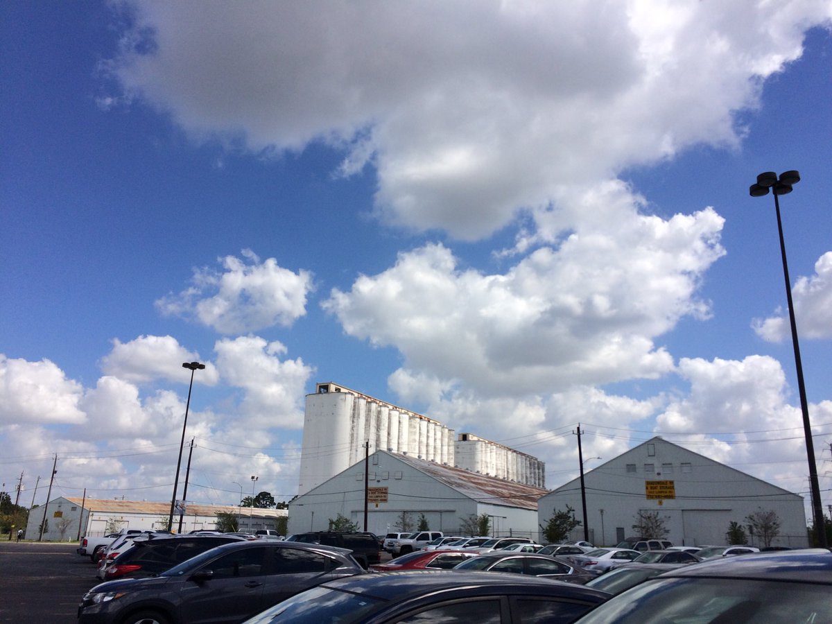
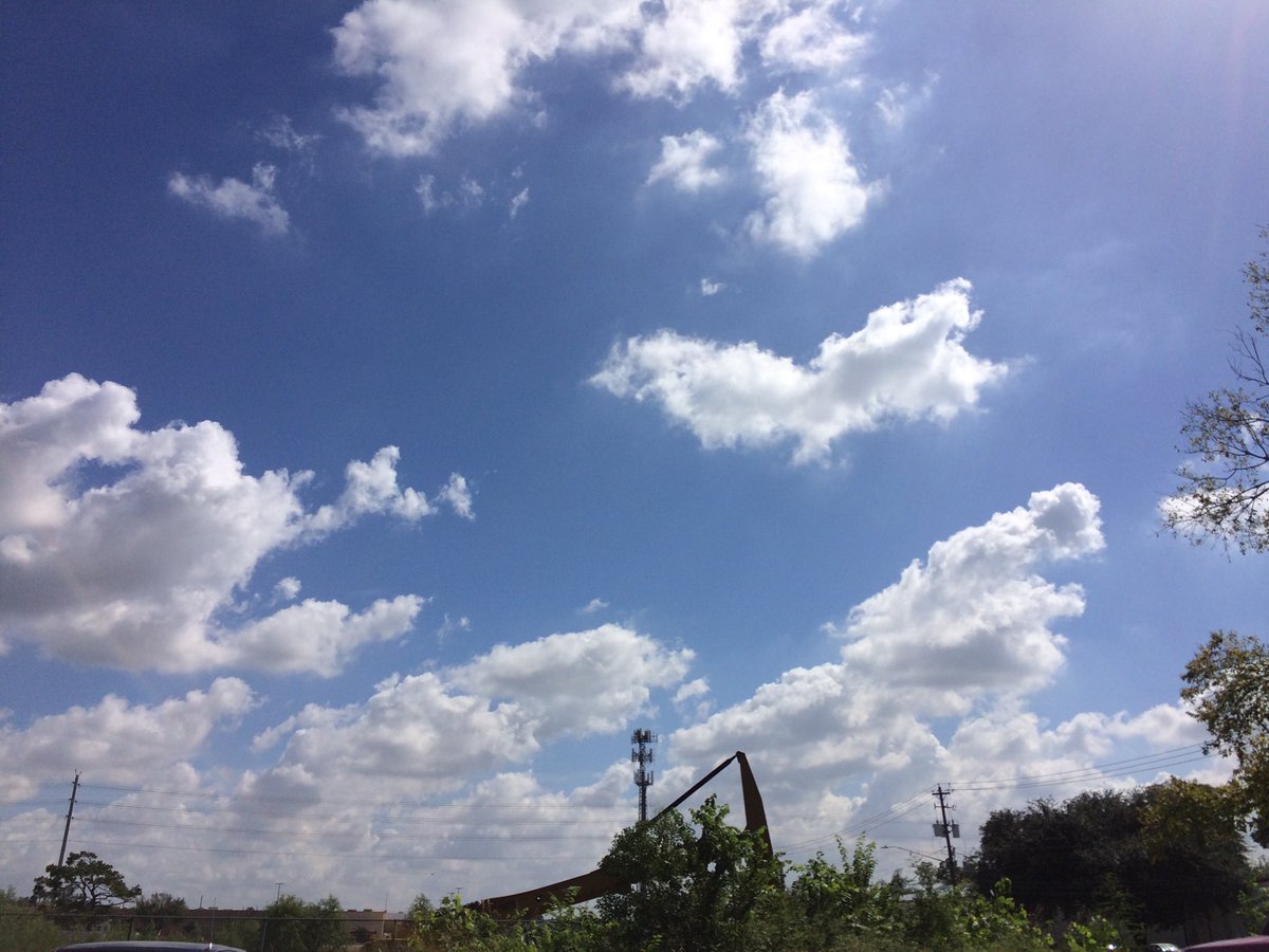
Northwest Houston, TX, during the early afternoon.
Summary: The day was very warm, sunny, and dry. I didn't see any rain on the radar, over the Houston, TX area, during anytime of the day. I didn't see, feel, or hear any rain drops. Alto stratus with maybe some stratus clouds looked to be scattered across the sky, during the early morning. Alto stratus, stratus, and stratocumulus clouds looked to have become widely scattered across the sky, sometime the late, or maybe mid-morning. Alto stratus, stratus, and stratocumulus clouds looked to be widely scattered across the sky, during the afternoon, evening, and maybe night. The wind speeds looked to be calm with gentle to moderate gusts with some occasional moderately strong gusts. It felt warm, during the early morning, late evening, and night. It felt very warm, during the mid-morning and early evening. It felt very warm, almost hot, during the late morning and afternoon. There was a Hazardous Weather Outlook issued for the Houston, TX area, by NOAA. There were no other watches, warnings, alerts, advisories, or weather statements/outlooks issued for the Houston, TX area, that I know of. The low temps looked to be in the 60's and the 70's and the high temps looked to be in the 80's with maybe some 90's, for the Houston, TX area.
Houston, TX Storm Summary: I didn't see any rain on the radar, over the Houston, TX area, during anytime of the day. I didn't hear about, or see any reports of flooding, or storm damage.
My Storm Summary: I didn't see, feel, or hear any rain drops. I didn't see any flooding, or wet roads, wet grounds, storm clouds, lightning, or storm damage. I didn't hear any rumbles of thunder.
Locations: Northwest and west Houston, TX.
Thoughts: Well I am a little nervous about Nate becoming a hurricane and heading towards the Houston, TX area. NOAA is very confident that it will make landfall somewhere in, or near Louisiana, Mississippi, Alabama area.
Area Forecast Discussion
Issued by NWS Houston/Galveston, TX
Issued by NWS Houston/Galveston, TX
Versions: 1 2 3 4 5 6 7 8 9 10 11 12 13 14 15 16 17 18 19 20 21 22 23 24 25 26 27 28 29 30 31 32 33 34 35 36 37 38 3940 41 42 43 44 45 46 47 48 49 50
000
FXUS64 KHGX 060127
AFDHGX

Area Forecast Discussion
National Weather Service Houston/Galveston TX
827 PM CDT Thu Oct 5 2017

.DISCUSSION...
Skies are generally clear across SE TX this evening with mild
temperatures. 00z soundings show PW values between 1.15 and 1.35
inches with a very dry layer noted between 850 and 700 mb and
strong capping inversion near 800 mb. Min temp forecast looks on
track and high temp forecast for Friday also looks on the mark.
Only change was to add some patchy late nite/early morning fog
for Conroe and Brenham.

TS Nate not looking terrific on satellite this evening but it is
still progged to become a hurricane making landfall Sunday
morning near SE Louisiana. Impacts, if any should be confined to a
continuation of rip currents and slightly elevated tides. 43

&&

.PREV DISCUSSION... /ISSUED 616 PM CDT Thu Oct 5 2017/

AVIATION...
VFR conditions expected for the most part. Could see MVFR at KCXO
or KLBX between 09Z and 13Z. Otherwise, easterly winds will become
southeasterly after 18-21Z.

40

PREV DISCUSSION... /ISSUED 407 PM CDT Thu Oct 5 2017/

DISCUSSION...
Quiet afternoon with dry conditions expected to prevail through the
remainder of the evening. Easterly winds have continued to help
advect in a drier airmass with precipitable water values ranging
between 1.2 to 1.4 inches over a majority of our eastern forecast
zones. This drier airmass should continue to push in from the
east overnight tonight and through Friday. Forecast soundings
indicate PWs lowering into the 0.90 to 1.10 inch range by Friday
afternoon. Should also see our heights rise slightly, as high
pressure off to our east attempts to push in. Therefore, kept PoPs
out of the forecast for Friday through Friday evening due to this
lack of moisture. Partly cloudy skies can be expected Friday with
high temps rising up into the upper 80s across SE TX.

The forecast quickly changes overnight Friday into early Saturday
morning as a surface low/inverted trough slides into the NW pocket
of the Gulf of Mexico. This area of lower pressures will allow PoPs
to rise starting around 06Z Saturday. Moisture moves in from the SE
as the trough pushes into the region and additionally should help to
provide substantial lift. Expecting scattered shower and
thunderstorms over the majority of the eastern zones through early
Saturday evening. Gusty conditions will be possible below
stronger storms. The moisture should linger into Sunday but not
expecting the coverage to be as widespread.

Continuing to track the cold front expected to push into the region
early next week. Trending towards the ECMWF solution in terms of the
timing of the front. Expecting the frontal passage to move through
SE TX late Monday into Tuesday. Should see some precip out ahead of
the front and raised PoPs to account for this. Behind the front,
drier cooler air should filter in. Therefore Monday night into
Tuesday, low temperatures should fall into the mid 60s closer to
College Station and mid 70s along the coast. High temperatures will
struggle to reach into the mid 80s Tuesday, while Tuesday evening`s
low temperatures will again lower into the 60s across SE TX.

Hathaway

Tropics...
Latest model runs are continuing to keep Tropical Storm Nate east of
Texas. The NHC has Nate was moving toward the NNW around 10 mph. As
the storm moves into more favorable environmental conditions, over
the NW Carribean Sea tonight into Friday, Nate is expected to
strengthen and near hurricane strength as the center of the storm
approaches the Yucatan Peninsula. Conditions expect to become
even more favorable as the system moves into the Gulf of Mexico.

Hathaway

MARINE...
Easterly swells continue with 8 to 11 second period and seas of 4 to
8 feet...8 feet well offshore. Long fetch will likely maintain the
long period swells through tonight before gradually dampening and
shifting southward of the area as winds respond to the LL wave
moving across FL backing winds slightly and relaxing gradient. SCA
continues through 4 am but may need to be extended. Moisture
increases late Friday and will likely see scattered showers develop
and become more widespread Saturday as the plume of moisture
blankets the coastal waters. Tropical Storm Nate should be moving
north through the Central Gulf aimed at Louisiana as it intensifies
leading to an increase in winds (most likely 10-20 knots) for the
eastern waters and building seas Saturday and Sunday morning.

Beach Hazards Statement remains in effect into Friday morning for
the elevated water levels, surf, and rip currents. Conditions
improving tonight.  Tide levels running 1 to 1.5 feet above normal.

45

&&

.PRELIMINARY POINT TEMPS/POPS...
College Station (CLL)      66  89  67  90  70 /   0  10  10  10  10
Houston (IAH)              67  88  70  88  73 /   0  10  10  40  20
Galveston (GLS)            79  86  79  88  78 /  10  10  20  40  30

&&

.HGX WATCHES/WARNINGS/ADVISORIES...
TX...NONE.
GM...Small Craft Advisory until 4 AM CDT Friday for the following
     zones: Waters from Freeport to the Matagorda Ship Channel
     from 20 to 60 NM...Waters from High Island to Freeport from
     20 to 60 NM.

&&

$$

Discussion...43
Hazardous Weather Outlook
Hazardous Weather Outlook
National Weather Service Houston/Galveston TX
430 AM CDT Thu Oct 5 2017

GMZ330-335-350-355-370-375-TXZ213-214-235>238-061200-
Brazoria-Chambers-
Coastal waters from Freeport to the Matagorda Ship Channel out
20 NM-Coastal waters from High Island to Freeport out 20 NM-
Galveston-Galveston Bay-Harris-Jackson-Matagorda-Matagorda Bay-
Waters from Freeport to the Matagorda Ship Channel from 20 to
60 NM-Waters from High Island to Freeport from 20 to 60 NM-
430 AM CDT Thu Oct 5 2017

This hazardous weather outlook is for portions of Southeast Texas..

.DAY ONE...Today and Tonight

With a long fetch of moderate to strong easterly winds, elevated tides
can be expected along the coast, especially around the times of high
tide. Strong rip currents can be expected along the coast too.

.DAYS TWO THROUGH SEVEN...Friday through Wednesday

With a long fetch of moderate to strong easterly winds, elevated tides
can be expected along the coast through Friday morning, especially
around the times of high tide. Strong rip currents can be expected
along the coast too. We will be keeping an eye for potential swells
moving into the area on Sunday. Small craft advisories might be needed
beginning Monday night or Tuesday morning after a cold front moves
through the area.

.SPOTTER INFORMATION STATEMENT...

Spotter activation is not anticipated.

$$
No comments:
Post a Comment