Northwest Houston, TX, during the early morning.
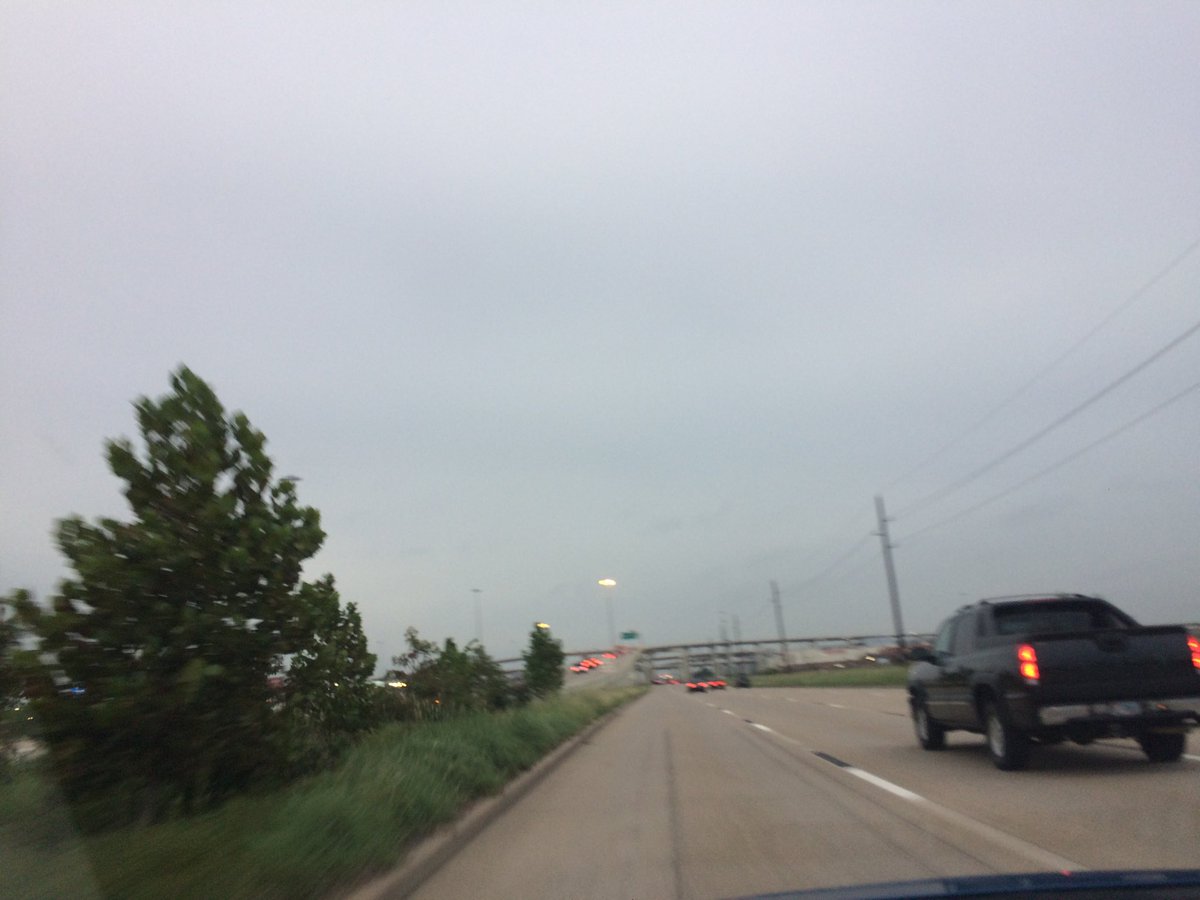
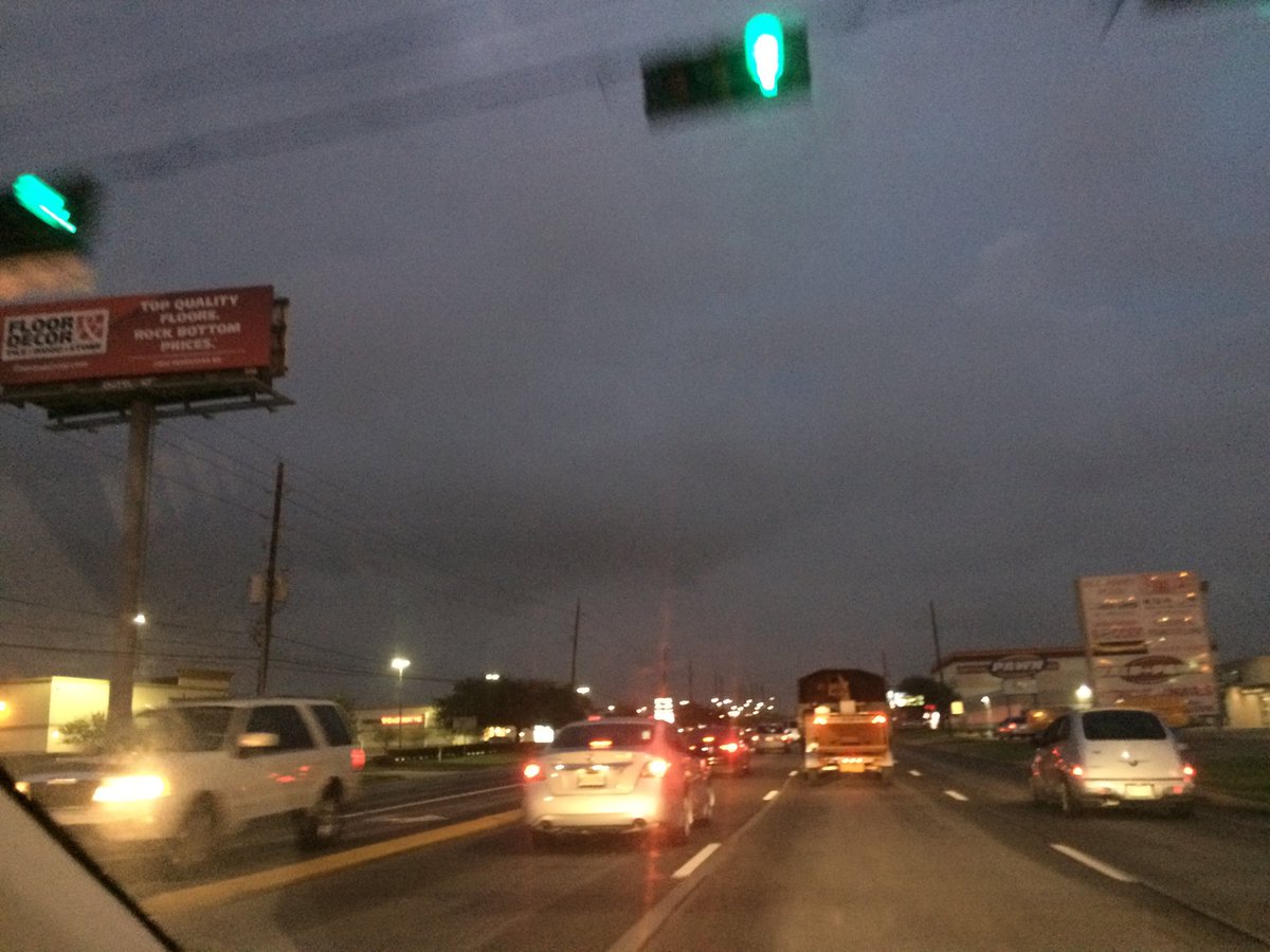
West Houston, TX, during the early evening.
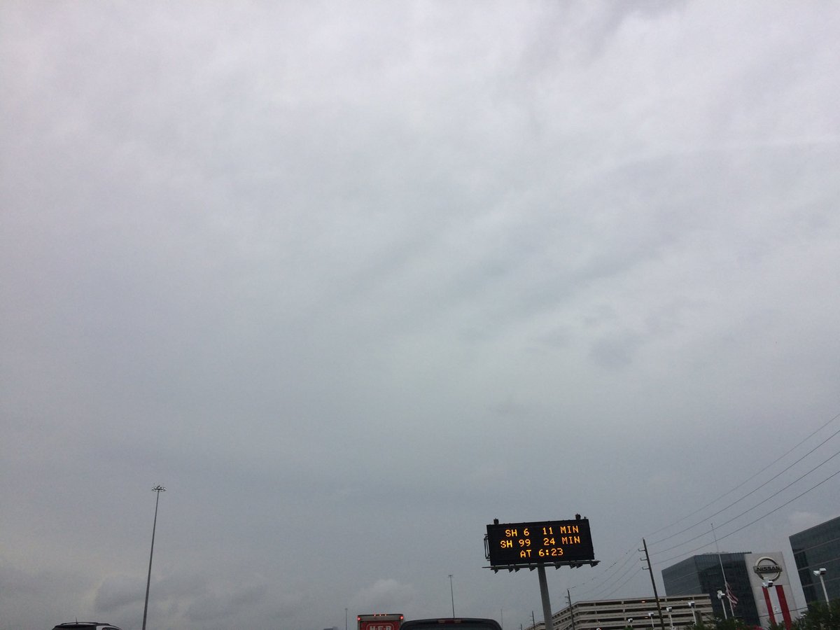
Katy, TX, during the early evening.
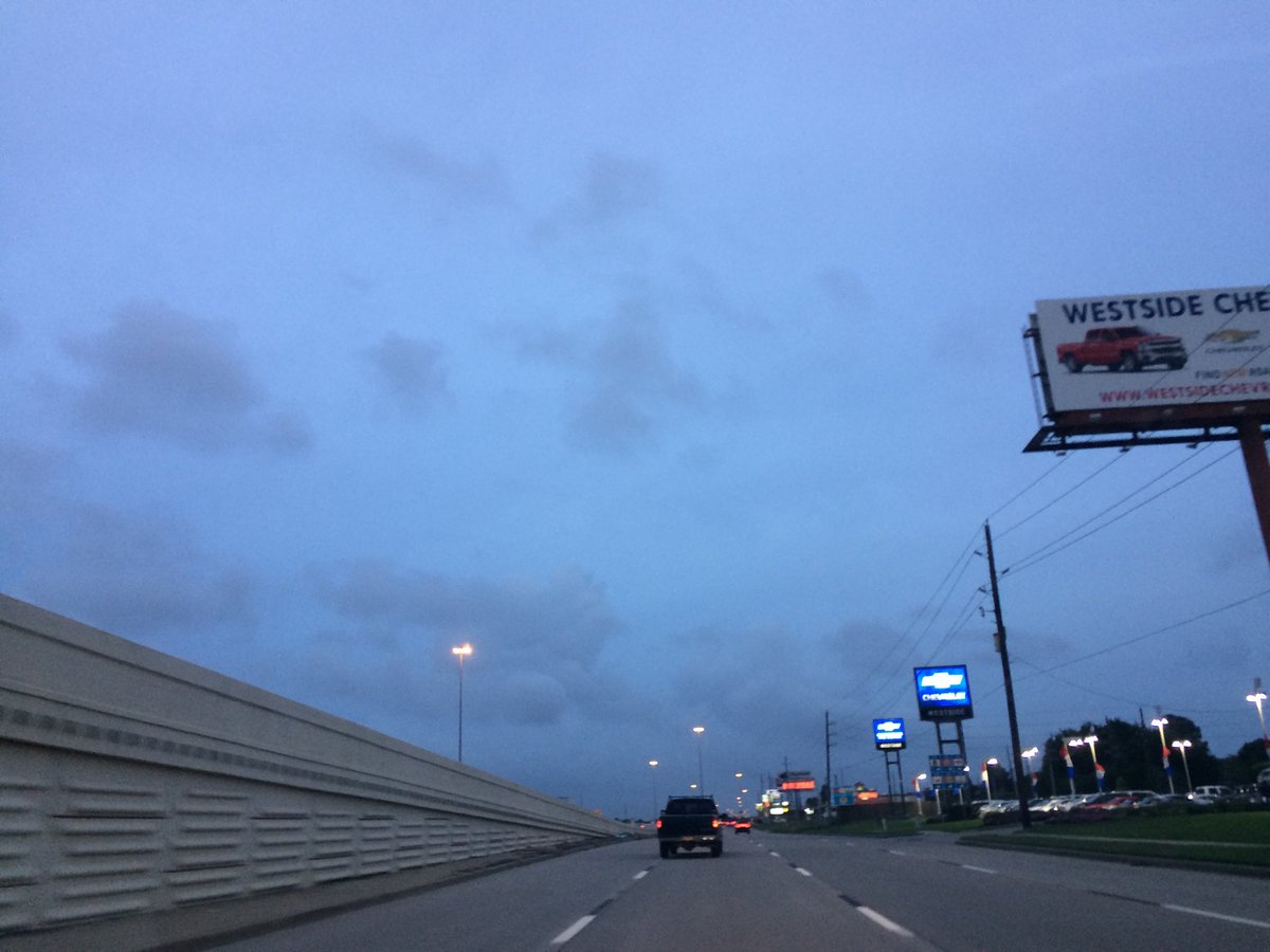
West Houston, TX, or maybe Katy, TX, during the late evening.
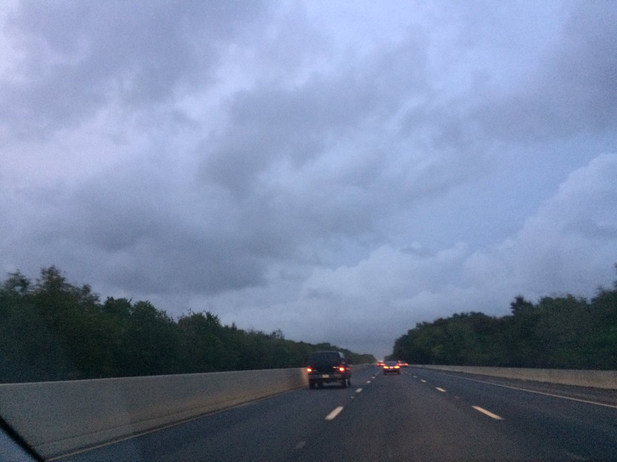
Northwest Houston, TX, during the late evening.
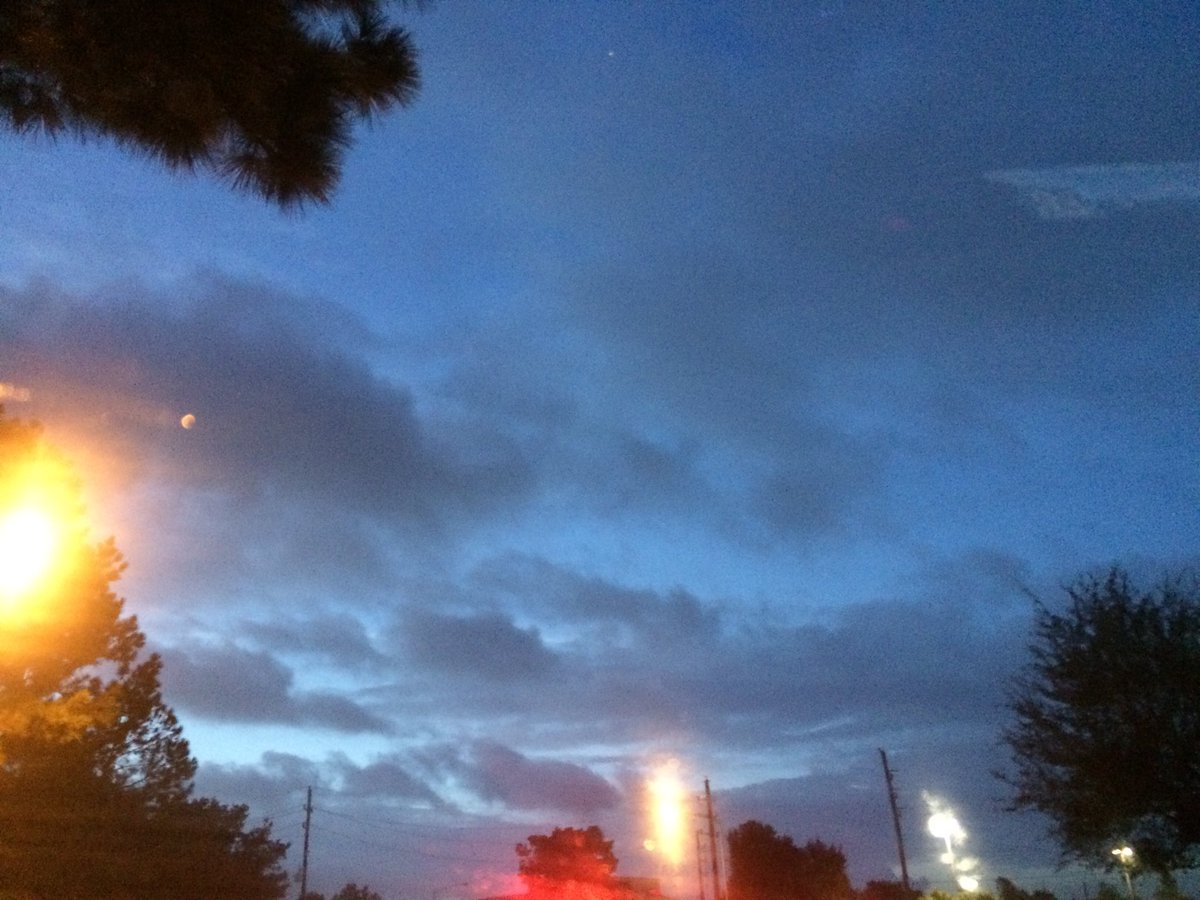
Northwest Houston, TX, during the early night.
Summary: The day was warm, cloudy, and wet. Light to mostly moderate and moderately heavy to heavy and maybe some really heavy showers and thunderstorms were scattered across the Houston, TX area, during the morning, afternoon, evening, and night. The sky looked to be cloudy with peaks of sky, during the morning, afternoon, evening, and night. The wind speeds looked to be mostly calm with moderate to moderately strong gusts and some really strong 20 mph gusts. It felt warm, during the morning, afternoon, evening, and night. There was a Hazardous Weather Outlook issued for the Houston, TX area, by NOAA. There were no other watches, warnings, alerts, advisories, or weather statements/outlooks issued for the Houston, TX area, that I know of. The low temps looked to be in the 70's and the high temps looked to be in the 80's, for the Houston, TX area.
Houston, TX Storm Summary: Light to mostly moderate and moderately heavy to heavy and maybe some really heavy showers and thunderstorms were scattered across the Houston, TX area, during the morning, afternoon, evening, and night. I didn't hear about any reports of flooding, or storm damage.
My Storm Summary: Moderate to moderately heavy showers passed over where I work in northwest Houston, TX, during the mid and late morning. A moderate thunderstorm passed over where I work in northwest Houston, TX, during the early afternoon, followed by some more light to maybe moderate showers during the mid and late afternoon and maybe early evening, where I work, in northwest Houston, TX. A moderately heavy to maybe heavy at times shower passed over my house, during the late night. I saw some high puddles, but I didn't see any flooding. I didn't see any lightning, or storm damage.
Locations: Northwest and west Houston, TX and Katy, TX.
Thoughts: Well it looks like I have lived through the wettest recorded annual rainfall, for Houston, TX. That is pretty cool and shows how much rain Houston, TX has been getting lately.
Area Forecast Discussion
Issued by NWS Houston/Galveston, TX
Issued by NWS Houston/Galveston, TX
Versions: 1 2 3 4 5 6 7 8 9 10 11 12 13 14 15 16 17 18 19 20 21 22 23 24 25 26 27 28 29 30 31 32 33 34 35 36 37 38 3940 41 42 43 44 45 46 47 48 49 50
000
FXUS64 KHGX 040233
AFDHGX

Area Forecast Discussion
National Weather Service Houston/Galveston TX
933 PM CDT Tue Oct 3 2017

.DISCUSSION...
At 01z, sfc high pressure was located over eastern MS and another
surface high was over SW KS. There is still a strong onshore flow
and showers continue to develop over the western Gulf and move
inland. 00z soundings show PW values between 2.20 and 2.45 inches
so the air mass still looks plenty moist. Drier air is progged to
move southwest late tonight and moisture levels will begin to
drop. At 300 mb, upper level ridging is becoming centered over
south Texas. At 850 mb, high pressure was noted over NC and this
feature was inching westward. 850 moisture still looks robust with
850 dew points around 16 C. Will maintain the 30-40 PoPs currently
in the grids but did raise min temps a degree or two in places as
confidence is low that the drier air well off to the east will
make it here by morning. Wet ground may lead to some light fog by
morning but left that out of the grids at this time due to mixing
from winds and extensive cloud cover. 43

&&

.CLIMATE...
City of Houston established a new annual rainfall record with
74.18 inches of rain so far in 2017. It`s hard to believe that an
annual record was broken with almost a full 3 months to go in the
year, but it is what it is. The previous record rainfall for a
year was 72.86 inches set back in 1900. 43


.PREV DISCUSSION... /ISSUED 639 PM CDT Tue Oct 3 2017/

AVIATION...
Some patchy areas of IFR/MVFR will affect KIAH and the nearby
aviation sites through 02/03Z. Otherwise, isolated to scattered
showers will linger through at least mid evening. There is a
general downward trend in the models regarding rain chances;
although, for KIAH, KHOU, and KSGR the NAM12 has another better
chance of rain between about 08Z and 11Z. If the cloud cover
clears out enough later this evening or overnight tonight could
see at least patchy fog to form. The more likely scenario is for
a mid or high level VFR deck to persist overhead which will keep
fog formation chances low. The models and guidance both suggest an
MVFR deck will be possible late tonight into early morning
Wednesday. Any low decks or fog that do form should lift to VFR by
around 15Z.

40

PREV DISCUSSION... /ISSUED 344 PM CDT Tue Oct 3 2017/

DISCUSSION...
Scattered showers and thunderstorms seen on radar imagery this
afternoon, expected to hang around through much of the early evening
hours. Locally heavy rainfall and higher rain rates will be possible
in isolated stronger storms. Should see coverage begin to shift into
the western portions of our forecast area closer to sunset. GOES-16
precipitable water imagery still shows the best moisture over the
western half of SE TX and further west of the forecast area. Short
term guidance such as the HRRR and RAP13 continue widely scattered
to isolated precip mainly over the western reaches into the early
morning hours.

Should continue to see partly to mostly cloudy skies overhead
through late Wednesday and into early Thursday, until upper level
ridging begins to build in over the region. This area of high
pressure will slide westward by late Friday, which should allow
for more of a summer like pattern to return to the forecast
Saturday. Saturday through Monday kept PoPs (20%) mainly
concentrated along the coast, associated with the typical daytime
heating and sea breeze pattern. Temperatures through the remainder
of the week should remain 4 to 7 degrees above normal for this
time of year.

Early next week, global models are still indicating a frontal
passage pushing through the region. Based on the most recent runs of
the GFS and ECMWF, there is still lack in agreement on timing of the
front, as well as the amount of precip expected out ahead of the
boundary. GFS and the Canadian model solutions are a tad slower than
the ECMWF. GFS places more rainfall out ahead of the frontal
boundary itself, moving into SE TX late Tuesday into early
Wednesday. On the other hand, the ECMWF brings less precip out ahead
of the front into the region Monday afternoon into early Tuesday.
Currently trending the forecast more towards the GFS and Canadian
solutions, in terms of both timing and PoPs. With this system a
week out, there is still plenty of time for the models to get a
better handle on both strength and timing. Regardless, should see
cooler temperatures behind the front along with drier conditions.

Hathaway

TROPICS...
We will continue to monitor an area of low pressure currently
located in the southwestern Carribean Sea near Panama, expected
to move towards the NW Caribbean. The National Hurricane Center
have increase the formation chance up to 40% over the next 48
hours and 60% over the next five days, of the system becoming a
tropical cyclone.

Overpeck/Hathaway

MARINE...
The pressure gradient will remain tight across the northern Gulf
of Mexico tonight through much of Wednesday with higher pressures
along the northern Gulf. This will maintain a long fetch of
moderate to strong easterly winds. Seas should build to near 9
feet in offshore waters Wednesday into Wednesday night. These
building seas have started piling water up along the upper Texas
coast. Current water levels are running about 1.5 to 2 feet above
normal tide table values. These levels will be capable of
producing minor coastal flooding around times of high tide along
the more susceptible roads along the Bolivar Peninsula, Blue Water
Highway and Beach Drive in Surfside. As confirmed by Galveston
Beach Patrol this morning, rip currents will also be a high risk.
The Beach Hazards Statement in place discusses the high tides,
elevated surf and rip currents. The statement will remain in
effect through at least Wednesday, possibly into Thursday. Winds
and seas will gradually decrease Thursday into Friday with low
winds and seas for the weekend.

Overpeck

&&

.PRELIMINARY POINT TEMPS/POPS...
College Station (CLL)      74  87  69  88  67 /  50  10   0  10  10
Houston (IAH)              74  87  70  88  68 /  50  10  10  10  10
Galveston (GLS)            80  87  78  88  77 /  50  30  30  10  10

&&

.HGX WATCHES/WARNINGS/ADVISORIES...
TX...NONE.
GM...SMALL CRAFT SHOULD EXERCISE CAUTION through Wednesday evening
     for the following zones: Galveston Bay...Matagorda Bay.

     Small Craft Advisory until 7 PM CDT Wednesday for the following
     zones: Coastal waters from Freeport to the Matagorda Ship
     Channel out 20 NM...Coastal waters from High Island to
     Freeport out 20 NM...Waters from Freeport to the Matagorda
     Ship Channel from 20 to 60 NM...Waters from High Island to
     Freeport from 20 to 60 NM.

&&

$$

Discussion...43
Hazardous Weather Outlook
Hazardous Weather Outlook
National Weather Service Houston/Galveston TX
354 AM CDT Tue Oct 3 2017

TXZ163-164-176>179-195>200-210>213-226-227-041200-
Austin-Brazos-Burleson-Colorado-Fort Bend-Grimes-Harris-Houston-
Liberty-Madison-Montgomery-Polk-San Jacinto-Trinity-Walker-Waller-
Washington-Wharton-
354 AM CDT Tue Oct 3 2017

This hazardous weather outlook is for portions of Southeast Texas.

.DAY ONE...Today and Tonight

Elevated rain chances could bring periods of locally heavy rainfall
today. Expect a significant decrease in coverage and intensity tonight.

.DAYS TWO THROUGH SEVEN...Wednesday through Monday

No hazardous weather is anticipated at this time.

.SPOTTER INFORMATION STATEMENT...

Spotter activation might be needed today.

$$
No comments:
Post a Comment