Northwest Houston, TX, during the early morning.
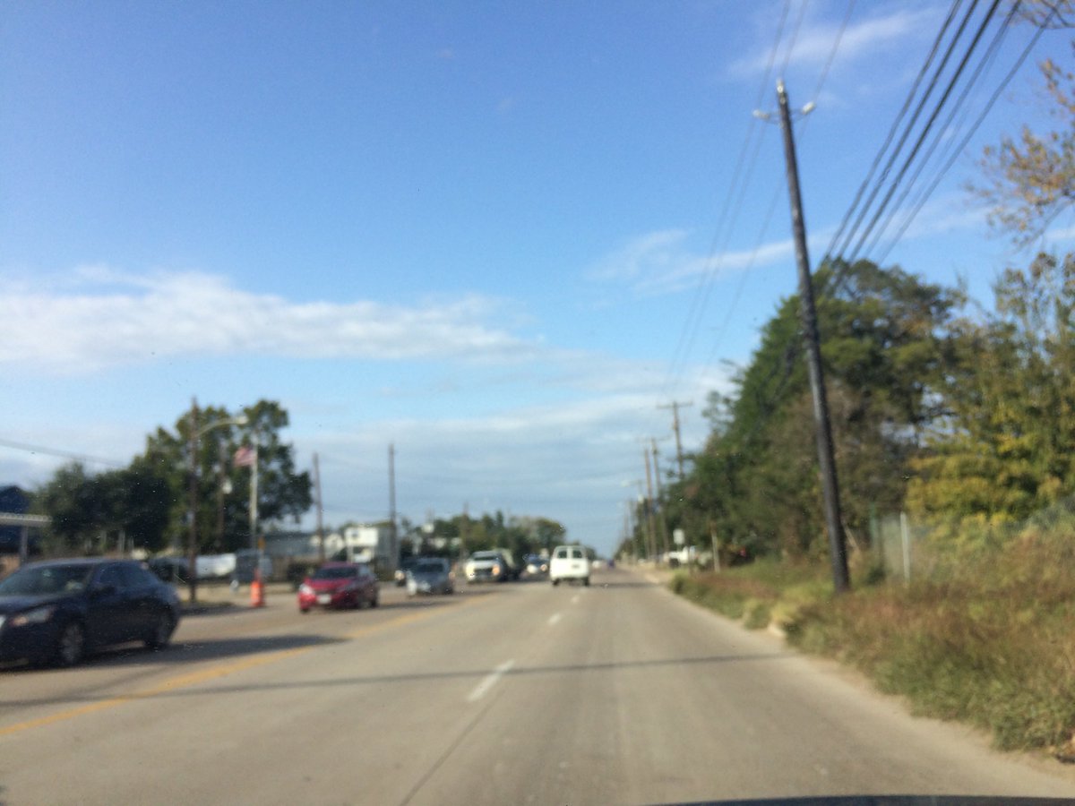
Northwest Houston, TX, during the late afternoon.
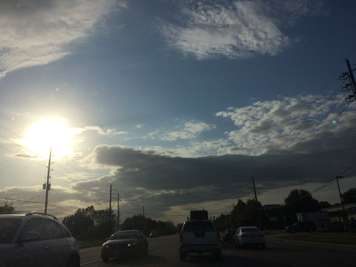
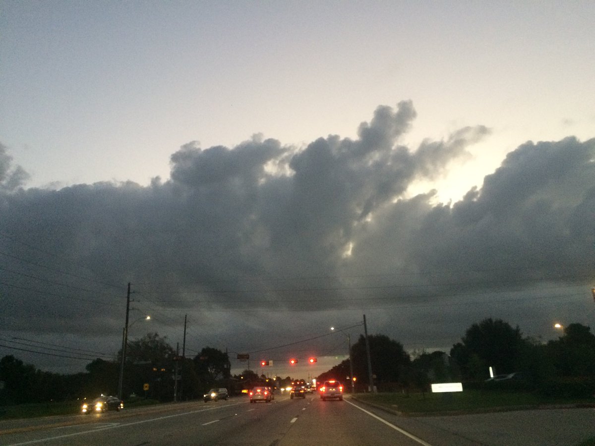
Northwest Houston, TX, during the early evening.
Summary: The day was cool, mostly cloudy, and windy. A line of light to moderately heavy showers passed through most of the Houston, TX area, during the morning, followed by some isolated light to moderate showers through the evening and maybe night. A brief moderate to moderately heavy shower passed over where I work in northwest Houston, TX, during the mid-morning. I didn't see any more rain after that. Stratus and some alto stratus clouds looked to cover part of the sky, during the early morning. Stratus clouds looked to cover almost the whole sky and maybe sometimes the whole sky, during the mid and late morning and early afternoon. Alto stratus and stratus cloud looked to be widely scattered across the sky, during the mid and late afternoon, evening, and maybe night. The wind speeds looked to be calm with moderate to moderately strong gusts and some really strong 20 to 25 mph gusts, and maybe some occasional 30 mph gusts. It felt warm, during the early morning. It started to feel very cool, almost cold, during the mid-morning. It felt cool, during the late morning, afternoon, and evening. It started to feel cold, during the early night. It felt cold, during the late night. There were no watches, warnings, alerts, advisories, or weather statements/outlooks issued for the Houston, TX area, I know of. The low temperatures looked to be in low 50's with maybe some high to mid 40's and the high temperatures looked to be in the low to mid 60's with maybe some high 60's, for the Houston, TX area.
Houston, TX Storm Summary: A line of light to moderately heavy showers passed through most of the Houston, TX area, during the morning, followed by some isolated light to moderate showers through the evening and maybe night. I didn't see, or hear about any reports of any flooding, or storm damages.
My Storm Summary: A brief moderate to moderately heavy shower passed over where I work in northwest Houston, TX, during the mid-morning. I didn't see any more rain after that. I didn't see any flooding, puddles, lightning, or damage. I didn't hear any rumbles of thunder.
Locations: Northwest Houston, TX.
Thoughts: I am really not enjoying this early start to cold weather.
Area Forecast Discussion
Issued by NWS Houston/Galveston, TX
Issued by NWS Houston/Galveston, TX
Versions: 1 2 3 4 5 6 7 8 9 10 11 12 13 14 15 16 17 18 19 20 21 22 23 24 25 26 27 28 29 30 31 32 33 34 35 36 37 38 3940 41 42 43 44 45 46 47 48 49 50
000
FXUS64 KHGX 280053
AFDHGX

Area Forecast Discussion
National Weather Service Houston/Galveston TX
753 PM CDT Fri Oct 27 2017

.DISCUSSION...
Rain tapering off with only a few sprinkles across the northwest
counties and along the immediate coast. Further offshore closer to
the surface front or just behind the front showers and even a few
thunderstorms. Temperatures have fallen to the mid to upper 50s
inland and lower 60s coast but these will continue to fall with
the CAA in place overnight. Winds should gradually relax through 3
am as cloud cover across the area ahead of the speed max shifts
eastward.

&&

.AVIATION...
VFR with mid level deck of clouds 6000-12000ft. N to NW winds
9-15kt gusting to 25kts. Warm sounding below 9000ft with a few
sprinkles possible as upper disturbance swings through the region
until around 06z. Then clearing and a relaxation of the winds
inland. Gusty winds will likely develop again inland tomorrow as
surge of cooler drier air arrives.
45

&&

.PREV DISCUSSION... /ISSUED 352 PM CDT Fri Oct 27 2017/

DISCUSSION...
Fall has finally returned to southeast TX with leading cold front
now well offshore and north winds in place across the area. A few
thunderstorms over the gulf will continue to push away from the
region as the cold front continues to the southeast. Behind the
front, WV imagery suggests area of deep ascent continues to move
across central TX maintaining some clouds and we will hold onto
at least a mention of light showers into the evening until this
shifts east of the area. Blustery north winds and steadily falling
temperatures will be the main story this evening and overnight.
We should see morning lows in the mid to upper 30s over a large
part of the area, with upper 40s along the immediate coast. These
will easily be the coldest temps of the season, and the coldest
since last winter.

Skies will clear by sunrise Saturday, although cold air advection
and brisk north winds will keep things quite cool as we top out
in the lower 60s for highs. Clear skies and light winds could
bring even cooler temps Saturday night into Sunday morning. We
will have to keep a close eye on freezing temps perhaps over
colder spots up north around sunrise on Sunday. Sunday will be
sunny, cool with lighter winds.

High pressure begins moving eastward offshore into the Gulf on
Monday as we get a more zonal pattern aloft. Warm air advection
and southerly wind shift behind the high pressure system will
bring dew points back into the 50s and temperatures in the high
70s to lower 80s, just above climatological values. Skies become
partly cloudy early next week with the southerly wind shift
surging in more moisture from the Gulf.

This moisture surge brings our next big chance for rain on Tuesday
afternoon, combined with a shortwave trough progressing into the
area from Mexico. High temperatures for next week will be back near
80 with lows in the low to mid-60s. Cloud cover increases through
the week behind the shortwave pattern as a cold front approaches the
area from the northwest. All models show the front dissipating and
not passing through the area, but the upper-level trough axis will
still bring high chances of rain Wednesday through early Thursday
morning.

Our pattern remains unsettled through the end of next week. Models
show a cutoff low off the coast of California progressing into the
area as a shortwave trough, but there is enough disagreement between
models so that the timing romaines uncertain. GFS solution
suggests a passage over the area Friday night while the Euro
brings the shortwave trough through to the northwest of the area
on Saturday night.

..MISCELLANEOUS CLIMATE DATA... The record minimum temperature
for Galveston on October 28th is 47 degrees, set in 1957.

Evans/Magee

MARINE...
Showers and thunderstorms continue to push across the coastal waters
along a cold front this afternoon, with winds and waves expected to
increase behind the front through the remainder of the afternoon and
into the overnight hours. Water temperatures ahead of the cold front
were in the low to mid 70s along the coast, which will encourage
stronger wind gusts above the surface to mix down behind the front.
As a result, a few wind gusts near gale force will be possible. Have
made no changes to the Small Craft Advisories in effect as current
hazards are handled well. Strong offshore flow through tomorrow may
result in tide levels falling to 0.5 to 1.0 feet below MLLW at times
of low tide, but low water issues are not currently expected as
winds begin decreasing late Saturday as surface ridging slides
farther south into Texas.

Light offshore flow Sunday will gradually become onshore by Monday
as surface ridging moves over the northern Gulf, with light to
occasionally moderate onshore flow persisting through the end of the
week.

Huffman

FIRE WEATHER...
Northerly winds 10-15 MPH are expected to persist on Saturday with
afternoon relative humidity values falling below 30 percent. A
period of elevated fire weather conditions may develop in areas
where fine fuels like grasses have had a chance to partially cure,
mainly across portions of the Brazos Valley and Piney Woods regions.
Dry conditions are expected to persist again on Sunday, but lighter
winds should mitigate against elevated fire weather conditions.

Huffman

&&

.PRELIMINARY POINT TEMPS/POPS...
College Station (CLL)      37  62  37  72  46 /  10   0   0   0   0
Houston (IAH)              41  62  41  69  49 /  10   0   0   0   0
Galveston (GLS)            48  63  51  68  61 /  20   0   0   0   0

&&

.HGX WATCHES/WARNINGS/ADVISORIES...
TX...NONE.
GM...Small Craft Advisory until 10 AM CDT Saturday for the following
     zones: Galveston Bay...Matagorda Bay.

     Small Craft Advisory until 1 PM CDT Saturday for the following
     zones: Coastal waters from Freeport to the Matagorda Ship
     Channel out 20 NM...Coastal waters from High Island to
     Freeport out 20 NM.

     Small Craft Advisory until 5 PM CDT Saturday for the following
     zones: Waters from Freeport to the Matagorda Ship Channel
     from 20 to 60 NM...Waters from High Island to Freeport from
     20 to 60 NM.

&&

$$

Discussion...41
Aviation/Marine...45
No comments:
Post a Comment