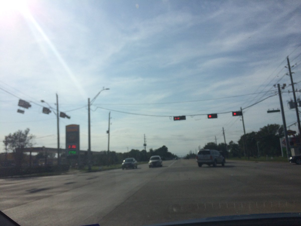
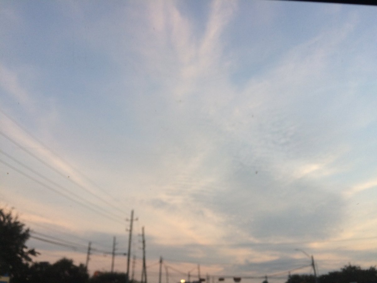
Near Katy, TX, during the mid-afternoon.
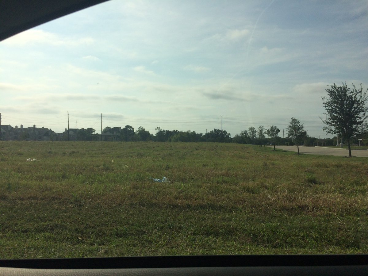
Near, or maybe in Katy, TX, during the late afternoon.
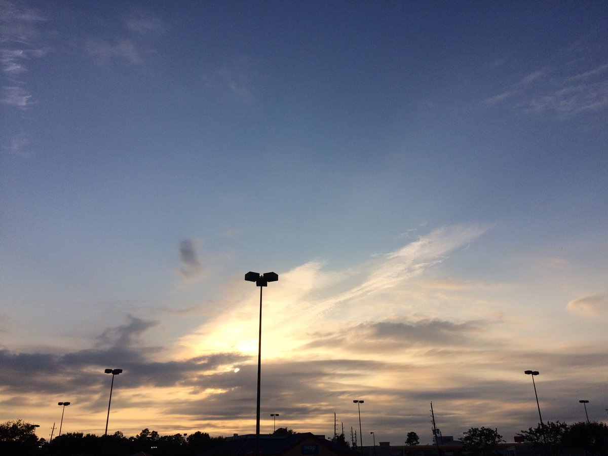
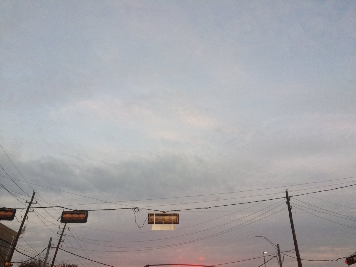
Katy, TX, during the early evening.
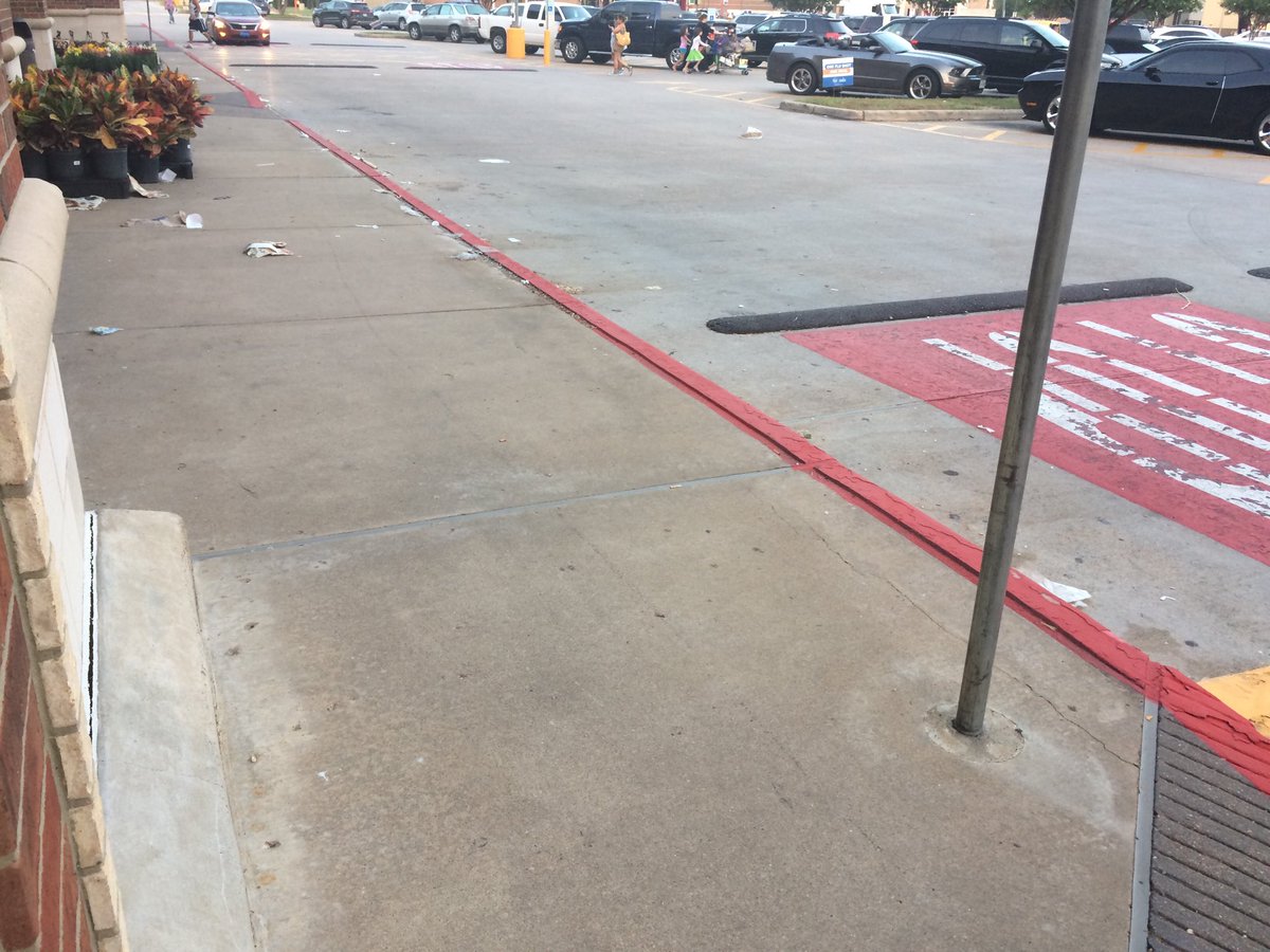
Cypress, TX, during the early evening.
Northwest Houston, TX, during the early evening.
Summary: The day was very warm, mostly sunny, and dry. There looked to be some isolated light to maybe moderate showers in and around the northern and southern areas of Houston, TX, during the afternoon, evening, and maybe night. I didn't see, feel, or hear any rain drops. Cirro and alto stratus clouds looked to be scattered across the sky, during the morning. Alto stratus with maybe some stratus clouds looked to cover most of the sky, during the afternoon, evening, and night. The wind speeds looked to be calm with maybe some gentle to moderate gusts and some occasional moderately strong to maybe really strong gusts, during the morning and afternoon. The wind speeds looked to be calm with moderate to moderately strong gusts and some occasional really strong 20 mph gusts, during the evening and maybe night. It felt warm, during the early morning. It felt very warm, during the mid-morning. It felt very warm, almost hot, during the late morning. It felt hot, during the afternoon. It started to feel warm, during the early evening. It felt a little cool, during the late evening and early night. There was a Hazardous Weather Outlook issued for the Houston, TX area, by NOAA. There were no other watches, warnings, alerts, advisories, or weather statements/outlooks issued for the Houston, TX area, that I know of. The low temps looked to be in the 70's and 60's and the high temps looked to be in the 80's and 90's, for the Houston, TX area.
Houston, TX Storm Summary: There looked to be some isolated light to maybe moderate showers in and around the northern and southern areas of Houston, TX, during the afternoon, evening, and maybe night. I didn't hear, or see any reports of any flooding, or damage.
My Storm Summary: I didn't see, feel, or hear any rain drops. I saw some dark alto stratus and some possible stratus clouds that looked to be rain producing clouds, during the mid and late afternoon and evening. I didn't see any rain drops from them. I didn't see any flooding, wet roads, puddles, wet ground, lightning, or damage. I didn't hear any rumbles of thunder.
Locations: Northwest Houston, TX, Cypress, TX, and Katy, TX.
Thoughts: The Houston, TX area received some almost record breaking temperatures today! The last hot day, before the cool front passes through and brings temperatures closer to normal for fall.
Area Forecast Discussion
Issued by NWS Houston/Galveston, TX
Versions: 1 2 3 4 5 6 7 8 9 10 11 12 13 14 15 16 17 18 19 20 21 22 23 24 25 26 27 28 29 30 31 32 33 34 35 36 37 38 3940 41 42 43 44 45 46 47 48 49 50
000
FXUS64 KHGX 160038
AFDHGX

Area Forecast Discussion
National Weather Service Houston/Galveston TX
738 PM CDT Sun Oct 15 2017

.UPDATE...
Radar shows that the cold front has just cleared the coast, with
dewpoints beginning to drop across the area. Though the vast
majority have been dry and will continue to do so, some showers
have popped up near the front just east of our area in Jefferson
and Orange counties, and the slightest of chances for a brief
shower exists over coastal Chambers County this evening.

Up north, College Station and a few other sites already have a
dewpoint at or below 50 degrees as cooler and drier air begins to
filter in. Some breezy north winds are also setting up across the
area this evening. Sustained winds are generally in the 10-15 mph
range, with numerous reported gusts as high as 25 mph or so.

While starting to approach the threshold for a wind advisory,
think winds will stay just underneath, and will hold off on any
headlines. These winds should largely continue through the night,
beginning to slowly subside towards morning. The wind situation is
a little different over the waters, so reference the Marine
section below if planning to do any boating.

Have had to adjust temps slightly in the next few hours, as things
got a bit warmer right on the coast, and have had to adjust their
cooling both as the front has passed and normal nighttime cooling.

Luchs

&&

.PREV DISCUSSION... /ISSUED 626 PM CDT Sun Oct 15 2017/

AVIATION...
Only TAF site left for the cold front to move through is GLS, and that
will happen in the next 30-45 minutes with gusty north developing in
its wake. Satellite and surface obs show some cloud decks behind the
front (right now MAINLY in the UTS and CXO areas) that we`ll probably
be dealing with this evening and maybe into parts of the overnight
hours. Other than that, will be carrying gusty north winds tonight
and for most of the day tomorrow with the higher values near the coast.
Winds are expected to be weakening beginning tomorrow afternoon up north.
42

PREV DISCUSSION... /ISSUED 338 PM CDT Sun Oct 15 2017/

DISCUSSION...
The dry cold front was passing across the Houston Metro at 3 PM with
some heavy cloud cover thinning out, which allowed high temps ahead
of the front to reach the 90s. Winds will pick up behind the front as
high pressure builds in from the northwest. The evening shift will
further monitor wind speed trends to see if a wind advisory is
warranted along the immediate coast. Weather behind the cold front
will be very pleasant, with high temperatures in the mid to upper
70s, lows in the 40s and 50s, clear skies, and dew points in the 40s.

A shortwave trough passes over the Ozarks on Tuesday night. This
will cause surface winds to become more easterly, which will bring
dew points back to the 50s and 60s and high temperatures in the low
80s through Friday. Then, a shortwave upper level ridge tracking
into the area on Thursday, in addition to the surface high pressure,
will help keep us dry through Friday.

On Friday, winds will be more persistent with onshore flow. Both the
ECMWF and GFS show good surface convergence along the coast, so
chances for precipitation are raised along the coast Friday afternoon
through Saturday.

The forecast becomes much more complex beginning Sunday with a large
amount of divergence in the model solutions between the GFS and Euro.
GFS shows a surface low pressure moving into the area from the Gulf,
while the Euro shows a cutoff low aloft sitting over the area for
several days starting next Sunday. Needless to say, widespread rain
chances were added, and this is a time period we will be monitoring
closely in the coming days.

22

MARINE...
The cold front will reach the coast near Matagorda Bay late this
afternoon and will push off the upper coast early this evening.
Small craft advisories are in effect this evening with 20 to 25 knot
winds expected and seas building to around 8 feet well offshore
overnight. Well offshore the advisory will continue into Monday
afternoon. Behind the front tides will fall to below normal late
tonight and early Monday.

Seas will subside by Tuesday with easterly winds expected by
Wednesday.  The pressure gradient will gradually tighten with wind
speeds increasing Wednesday night and Thursday. A long easterly fetch
will set up across the Gulf of Mexico Thursday, and will remain in
place through the weekend. Seas will reach at least 5 feet by
Thursday afternoon. Therefore, elevated seas and tides will be
possible late this week.

33

CLIMATE...
Several records were preliminarily tied or surpassed today:
City of Houston - High record of 92 set in 2015 was tied today
Houston Hobby - High record of 92 set in 2015 was tied today
Galveston - High record of 88 set in 2007 was beat today with a new
high of 90

Today also marks a new latest 90+ degree day for Galveston. The
latest 90+ degree day for the City of Houston is October 29th, set
back in 1991. For Houston Hobby, the latest 90+ degree day is
November 3rd, set back in 1973. College Station`s latest 90+ degree
day is November 16th, set in 1921.

&&

.PRELIMINARY POINT TEMPS/POPS...
College Station (CLL)      54  77  48  78  49 /   0   0   0   0   0
Houston (IAH)              61  77  55  78  54 /  10  10   0   0   0
Galveston (GLS)            68  77  63  77  67 /  10  10   0   0   0

&&

.HGX WATCHES/WARNINGS/ADVISORIES...
TX...NONE.
GM...Small Craft Advisory until 11 AM CDT Monday for the following
     zones: Galveston Bay...Matagorda Bay.

     Small Craft Advisory until 4 PM CDT Monday for the following
     zones: Coastal waters from Freeport to the Matagorda Ship
     Channel out 20 NM...Coastal waters from High Island to
     Freeport out 20 NM...Waters from Freeport to the Matagorda
     Ship Channel from 20 to 60 NM...Waters from High Island to
     Freeport from 20 to 60 NM.

&&

$$

Discussion...25
Hazardous Weather Outlook
Hazardous Weather Outlook
National Weather Service Houston/Galveston TX
357 AM CDT Sun Oct 15 2017

TXZ163-164-176>179-195>200-210>213-226-227-160900-
Austin-Brazos-Burleson-Colorado-Fort Bend-Grimes-Harris-Houston-
Liberty-Madison-Montgomery-Polk-San Jacinto-Trinity-Walker-Waller-
Washington-Wharton-
357 AM CDT Sun Oct 15 2017

This hazardous weather outlook is for portions of Southeast Texas..

.DAY ONE...Today and Tonight

Patchy fog will result in visibilities falling to or below one
mile at times this morning. Motorists are urged to use caution on
area roadways. Fog is expected to lift after sunrise.

.DAYS TWO THROUGH SEVEN...Monday through Saturday

No hazardous weather is expected at this time.

.SPOTTER INFORMATION STATEMENT...

Spotter activation will not be needed.

$$
No comments:
Post a Comment