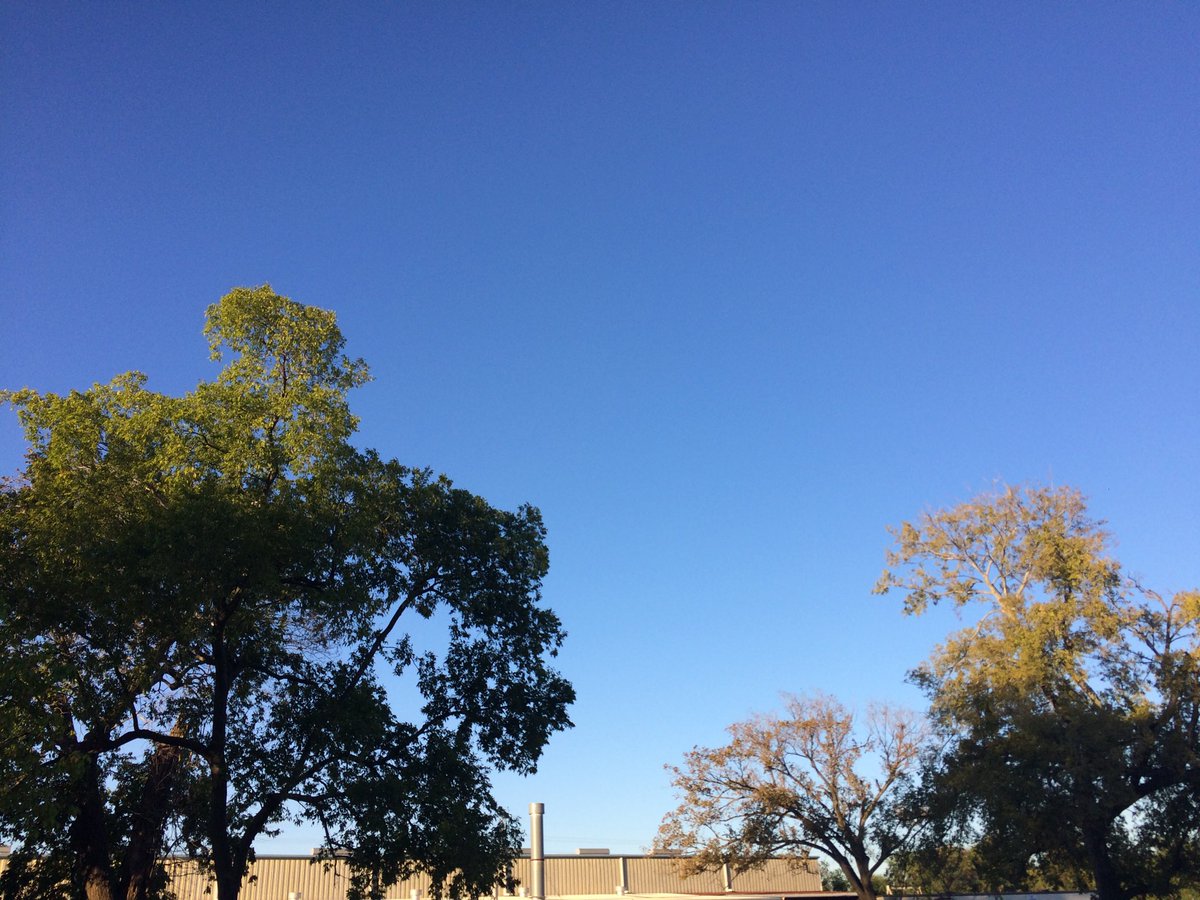
Northwest Houston, TX, during the early morning.
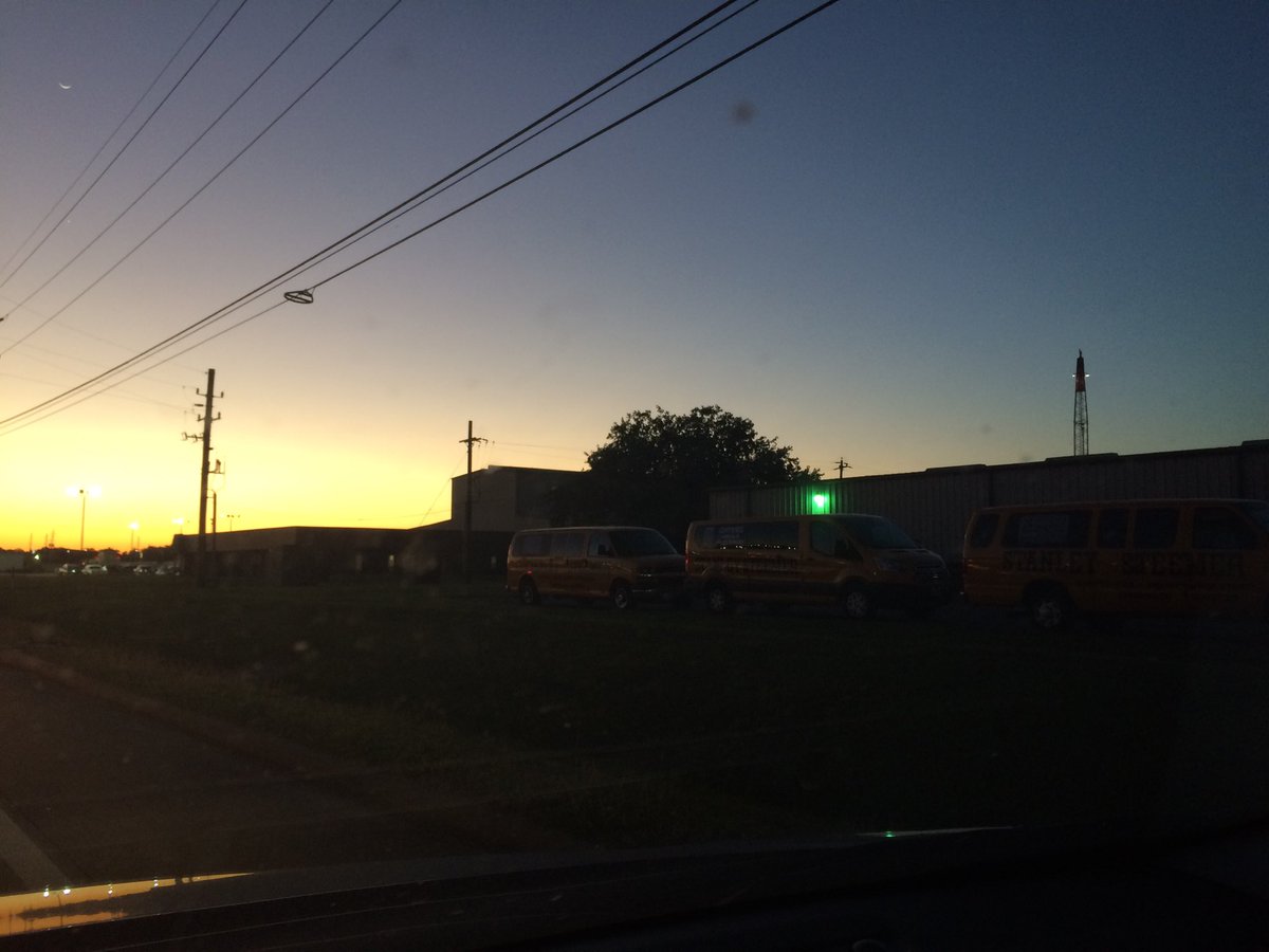
Northwest Houston, TX, during the early evening.
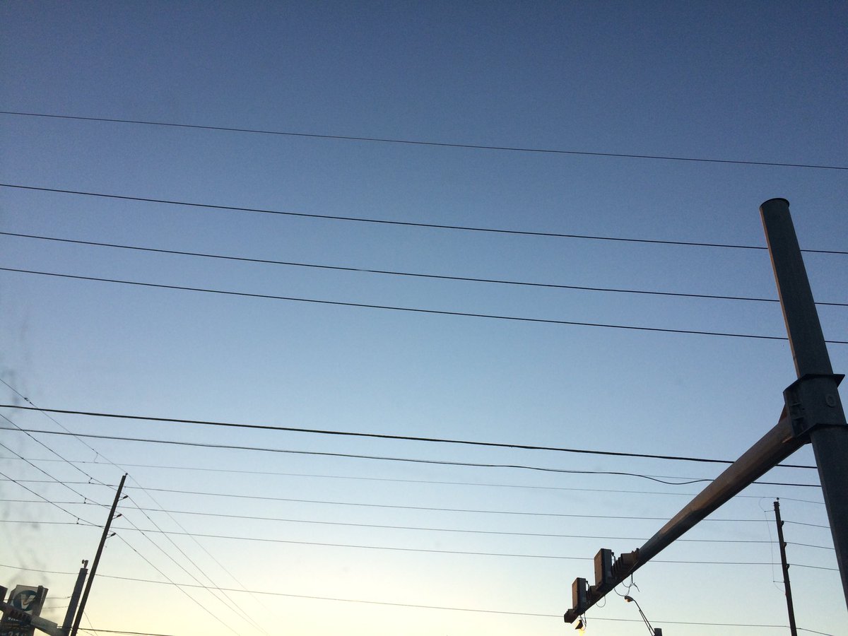
Northwest Houston, TX, during the late evening.
Summary: The day was sunny, mostly cool, and dry. I didn't see any rain on the radar, over the Houston, TX area, during anytime of the day. I didn't see, feel, or hear any rain drops. The sky looked to be completely clear with some possible barely visible cirro stratus clouds, during the morning, afternoon, evening, and night. The wind speeds looked to be calm with some gentle to moderate gusts and some possible moderately strong and maybe really strong 20 mph gusts. It felt very cool, during the early morning. It felt cool, during the mid-morning and night. It felt a little cool, during the late morning and late evening. It felt warm with a little cool wind breeze during the afternoon and early evening. There was a Hazardous Weather Outlook issued for the Houston, TX area, by NOAA. There was also a Air Quality Alert issued for the Houston, TX area, for Oct. 18, 2017, by NOAA. There were no other watches, warnings, alerts, advisories, or weather statements/outlooks issued for the Houston, TX area, that I know of. The low temperatures looked to be in the 50's with some possible 40's in some locations and the high temperatures looked to be in the 70's, for the Houston, TX area.
Houston, TX Storm Summary: I didn't see any rain on the radar, over the Houston, TX area, during anytime of the day. I didn't see, or hear about reports of flooding, or storm damage.
My Storm Summary: I didn't see, feel, or hear any rain drops. I didn't see any storm, or rain producing like clouds, flooding, wet roads, puddles, wet ground, lightning, or damage. I didn't hear any rumbles of thunder.
Locations: Northwest Houston, TX.
Thoughts: The day was very sunny and clear. I have not seen a clear day in awhile.
Area Forecast Discussion
Issued by NWS Houston/Galveston, TX
Issued by NWS Houston/Galveston, TX
Versions: 1 2 3 4 5 6 7 8 9 10 11 12 13 14 15 16 17 18 19 20 21 22 23 24 25 26 27 28 29 30 31 32 33 34 35 36 37 38 3940 41 42 43 44 45 46 47 48 49 50
000
FXUS64 KHGX 180145
AFDHGX

Area Forecast Discussion
National Weather Service Houston/Galveston TX
845 PM CDT Tue Oct 17 2017

.DISCUSSION...
High pressure ridging into the area from the northeast will help to
keep the area clear and cool tonight. No significant changes are
being made on the evening update. 42
&&

.PREV DISCUSSION... /ISSUED 643 PM CDT Tue Oct 17 2017/

AVIATION...
VFR through period. A near calm overnight wind will wake up from
the east southeast by late morning. Still feel regional air mass is
still too dry to produce any significant Wednesday morning fog. 31

PREV DISCUSSION... /ISSUED 343 PM CDT Tue Oct 17 2017/

DISCUSSION...
Surface high pressure ridge overhead. Should see another cool
night with temperatures falling to below normal over the inland
areas.

Next system will move into Southeast Texas over the weekend. Both
the GFS and ECMWF are in better agreement with the upper level
system moving overhead Saturday night through Sunday night. A
frontal boundary will move through the forecast area and bring
decent chances for showers and thunderstorms. Still a bit unsure
about timing and coverage -- the 12Z model runs show an indication
that better coverage will occur along and ahead of the frontal
boundary on Sunday as compared to Saturday. However, a warm front
should move northward/inland and bring chances for showers and
thunderstorms. Will continue to monitor the potential for strong
to severe storms over the weekend. The models continue to show a
drying trend starting on Monday. 40

MARINE...
NE winds have diminished and should transition to the east on Wed. A
ridge of high pressure to the northeast and a weak area of low
pressure near the Yucatan will maintain a long e/ese fetch across
the northern Gulf this week. Pressure gradient will tighten and
speeds will increase later in the work week. Caution flags could be
needed. Seas and tide levels will also increase and we`ll need to
keep an eye on water levels as guidance still indicates the
possibility that they`ll exceed 3.3 feet on Friday. 47

FIRE WEATHER...
RH`s bottoming out in the 25-35% range today are expected to be a
bit higher on Wed then increase significantly on Thursday through
the end of the week. 47

&&

.PRELIMINARY POINT TEMPS/POPS...
College Station (CLL)      50  84  59  85  63 /   0   0   0  10  10
Houston (IAH)              53  84  63  85  66 /   0   0  10  10  10
Galveston (GLS)            67  82  72  84  74 /   0  10  10  10  10

&&

.HGX WATCHES/WARNINGS/ADVISORIES...
TX...NONE.
GM...NONE.
&&

$$

31/42
Hazardous Weather Outlook
Hazardous Weather Outlook National Weather Service Houston/Galveston TX 453 AM CDT Tue Oct 17 2017 TXZ163-164-176>179-195>200-210>213-226-227-181000- Austin-Brazos-Burleson-Colorado-Fort Bend-Grimes-Harris-Houston- Liberty-Madison-Montgomery-Polk-San Jacinto-Trinity-Walker-Waller- Washington-Wharton- 453 AM CDT Tue Oct 17 2017 This hazardous weather outlook is for portions of Southeast Texas.. .DAY ONE...Today and Tonight Low relative humidities and dry conditions may result in elevated fire weather concerns this afternoon and evening. .DAYS TWO THROUGH SEVEN...Wednesday through Monday A few strong thunderstorms will be possible across the region on Saturday with the threat for strong to severe thunderstorms continuing into Sunday as a cold front moves into the region. .SPOTTER INFORMATION STATEMENT... Spotter activation will not be needed. $$Air Quality Alert
TXZ213-237-238-190000- AIR QUALITY ALERT MESSAGE TEXAS COMMISSION ON ENVIRONMENTAL QUALITY RELAYED BY NATIONAL WEATHER SERVICE HOUSTON/GALVESTON TX 146 PM CDT Tue Oct 17 2017 ...OZONE ACTION DAY FOR WEDNESDAY... THE TEXAS COMMISSION ON ENVIRONMENTAL QUALITY (TCEQ)...HAS ISSUED AN OZONE ACTION DAY FOR THE HOUSTON...GALVESTON...AND BRAZORIA AREAS FOR WEDNESDAY... OCTOBER 18 2017. ATMOSPHERIC CONDITIONS ARE EXPECTED TO BE FAVORABLE FOR PRODUCING HIGH LEVELS OF OZONE POLLUTION IN THE HOUSTON...GALVESTON AND SURROUNDING AREAS ON WEDNESDAY. YOU CAN HELP PREVENT OZONE POLLUTION BY SHARING A RIDE...WALKING...RIDING A BICYCLE...TAKING YOUR LUNCH TO WORK...AVOIDING DRIVE THROUGH LANES...CONSERVING ENERGY AND KEEPING YOUR VEHICLE PROPERLY TUNED. FOR MORE INFORMATION ON OZONE: OZONE: THE FACTS (WWW.TCEQ.TEXAS.GOV/AIRQUALITY/MONOPS/OZONEFACTS.HTML) EPA AIR NOW: (WWW.AIRNOW.GOV/INDEX.CFM?ACTION=AIRNOW.LOCAL_CITY&CITYID=236) TAKE CARE OF TEXAS: (WWW.TAKECAREOFTEXAS.ORG/AIR/AIRQUALITY) $$
No comments:
Post a Comment